
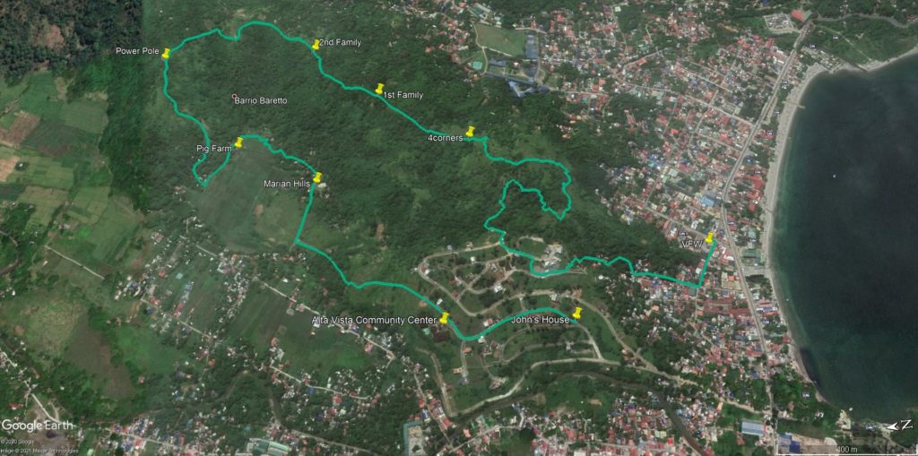
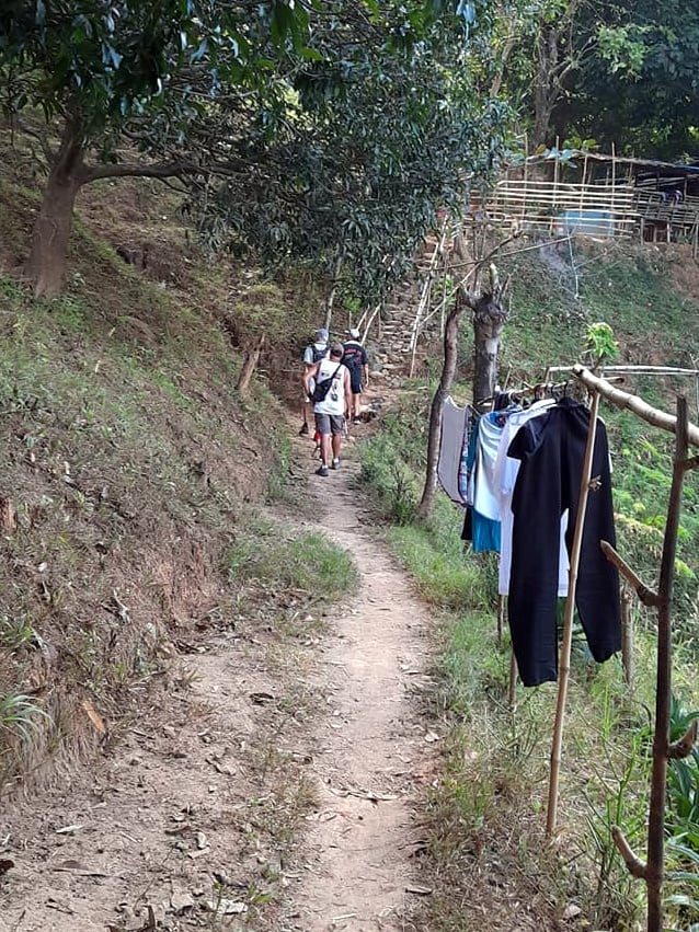
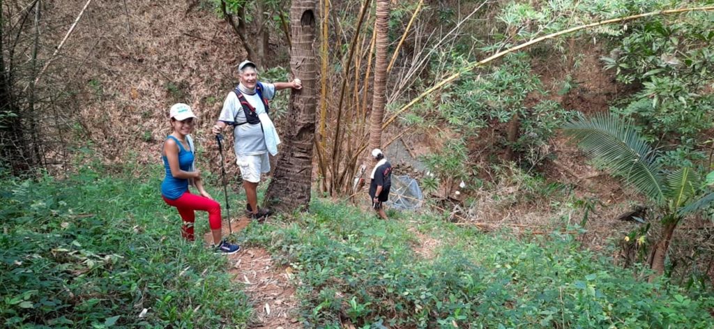
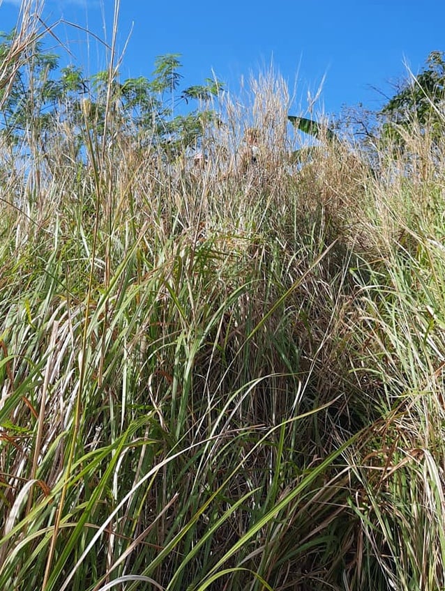
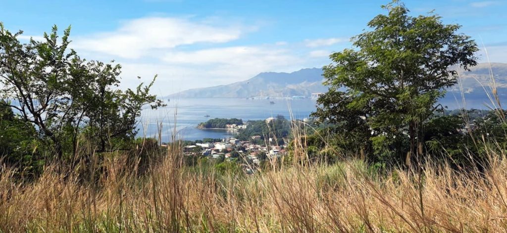
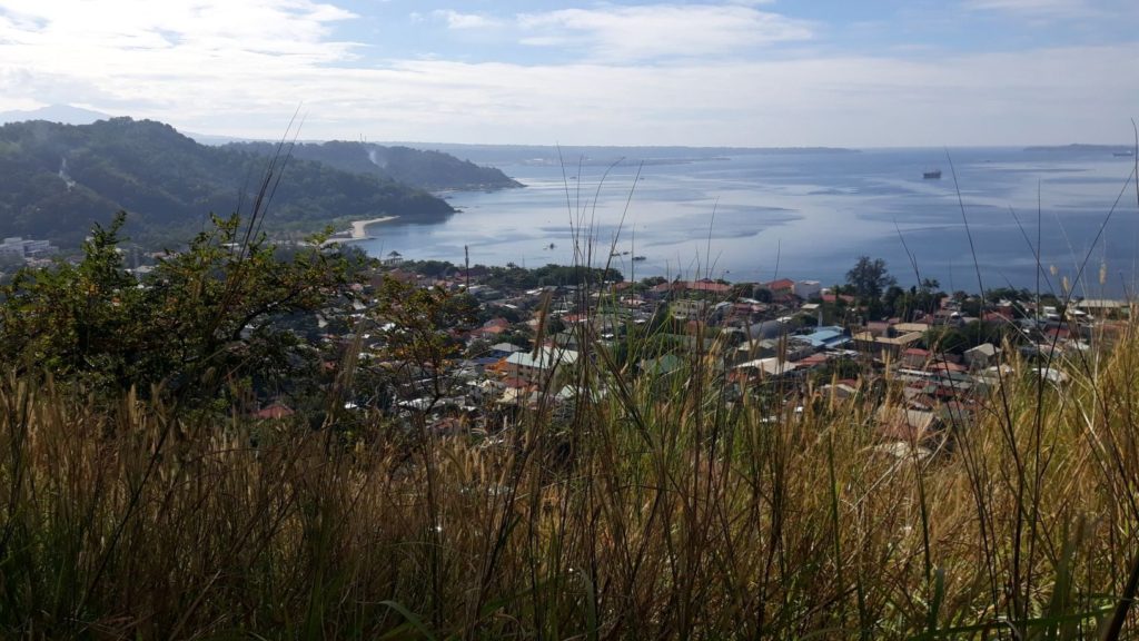
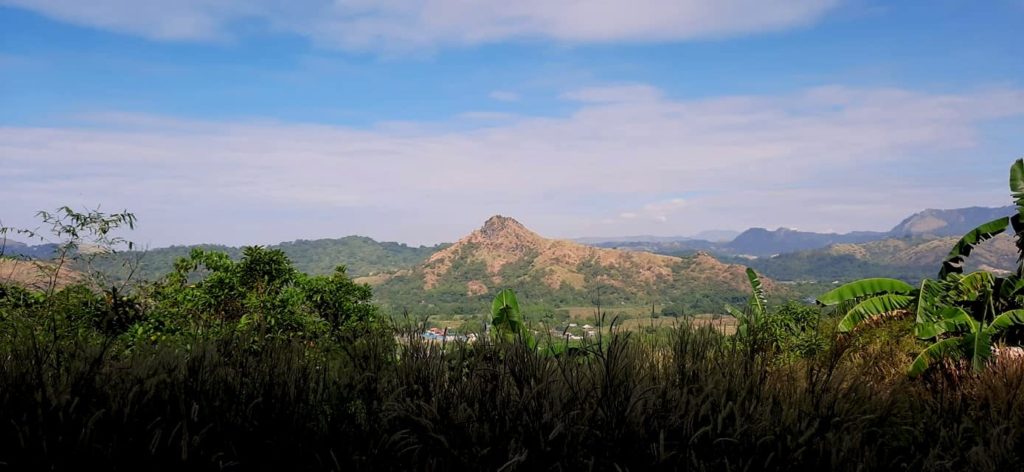
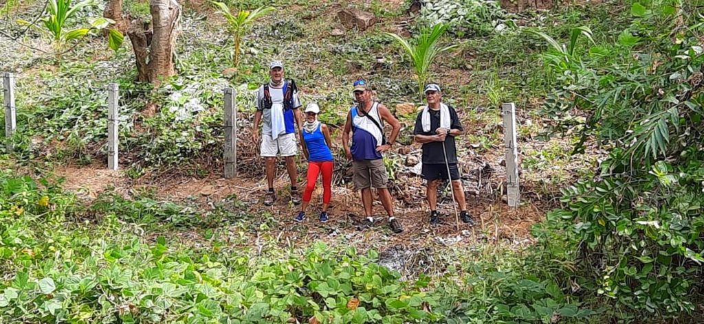
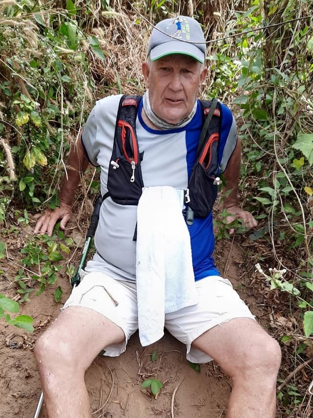
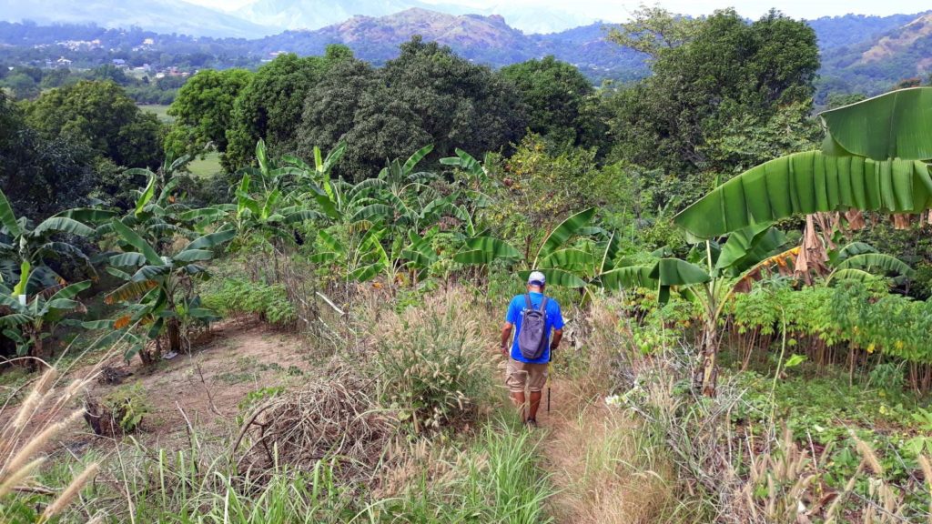
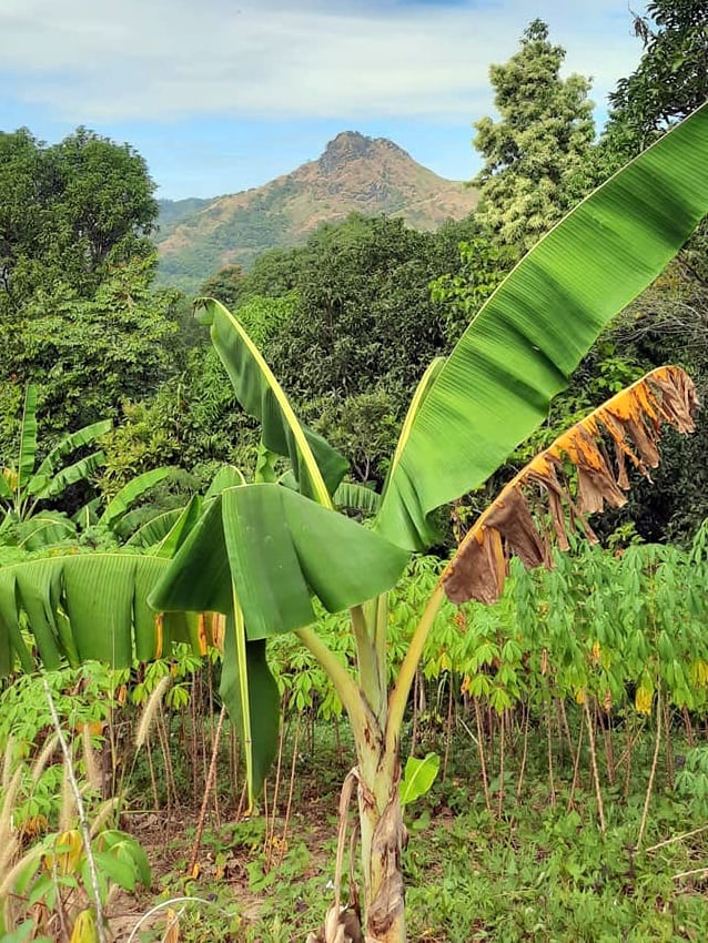
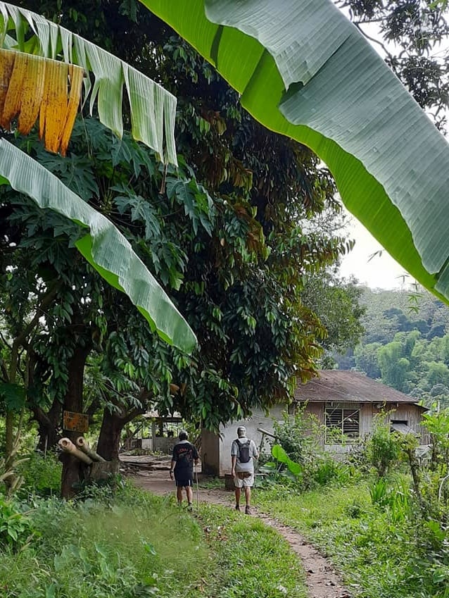
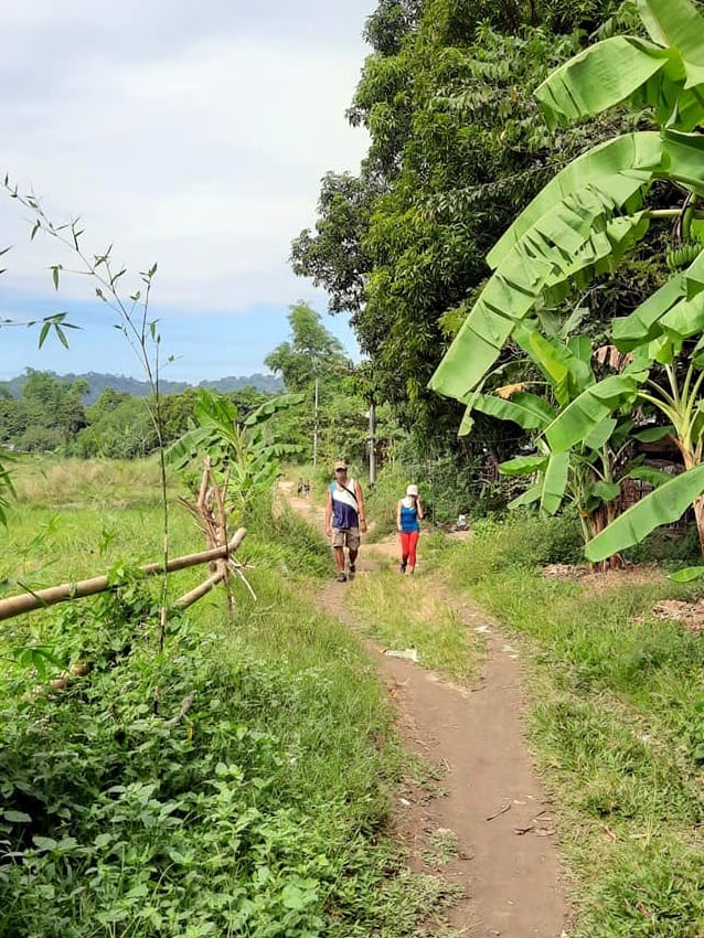
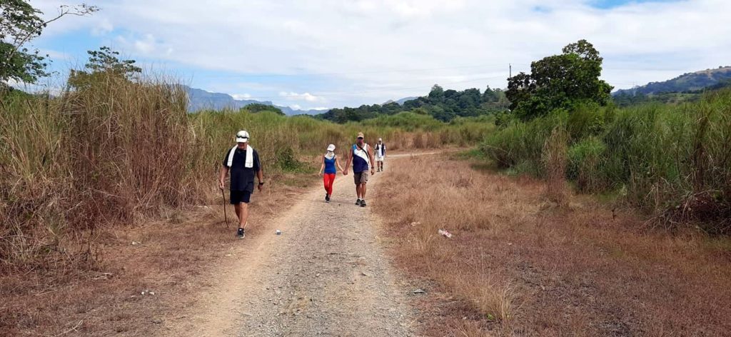
For yesterday’s group hike, we did a little scouting around for a potential trail when we Hare the Hash on February 1. Scott had some ideas but they didn’t really pan out this time. That’s part of the process–eliminating possibilities gets you a step closer to finding a suitable path. Anyway, it was a mostly pleasant 6K hike, just a couple of rough patches. Always good to be out and about with friends on trail!
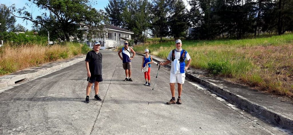
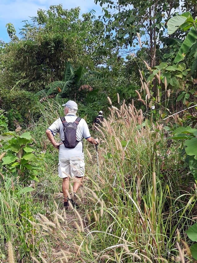
Scott posted his pictures from the hike (most of which are included above) on an app called Relive. I thought it was pretty cool how it incorporates the photos into the section of the trail where they were taken. So I thought I’d try it out on my morning walk. This is the result:
Oh, cool! It actually embeds. Wasn’t sure it would. Nothing special about my walk today. I basically did the photo every thousand steps or so thing again, but I got distracted a couple of times. Anyway, when I uploaded the photos it somehow knew where on the trail I took them. That is both impressive and a little scary! Another thing I like is that it has an elevation bar at the top of the video screen. My trail was mostly flat today though. I still need to learn how to insert elevations at various points in the trail. Give me some feedback on how you like the app. I’ll probably still use photo posts like usual anyway so I can add my witty commentary. Anyway, something new to play with.
And that’s the way it is with me.
Relive seems like a nice app.
Advantages: good summary of your walk, good motivation to improve because it aids visualization of what you’ve accomplished.
Disadvantages: I wasn’t able to use the full-screen feature, for some reason, so all the photos were scrunched and hard to see.
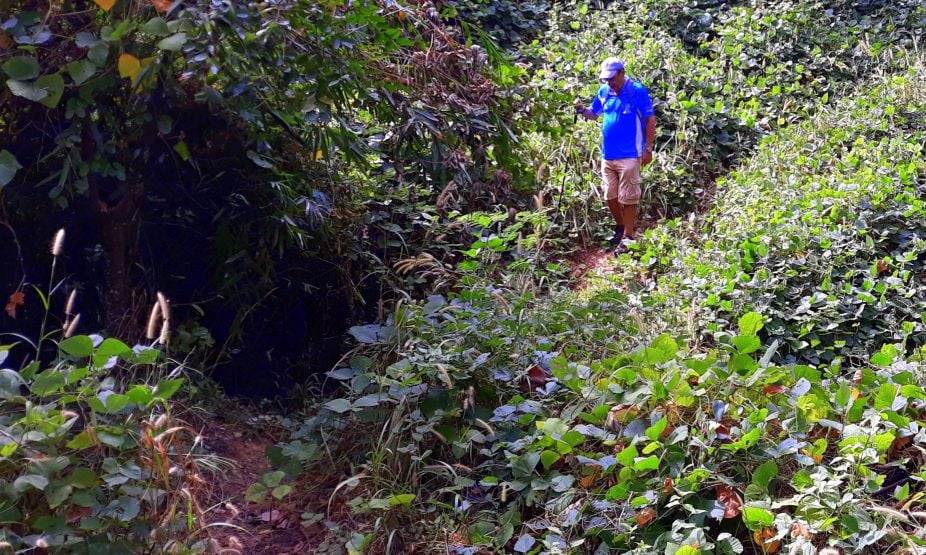
I guess it doesn’t pay to wear white when you’re on a muddy trail. I feel sorry for Scott’s shorts.
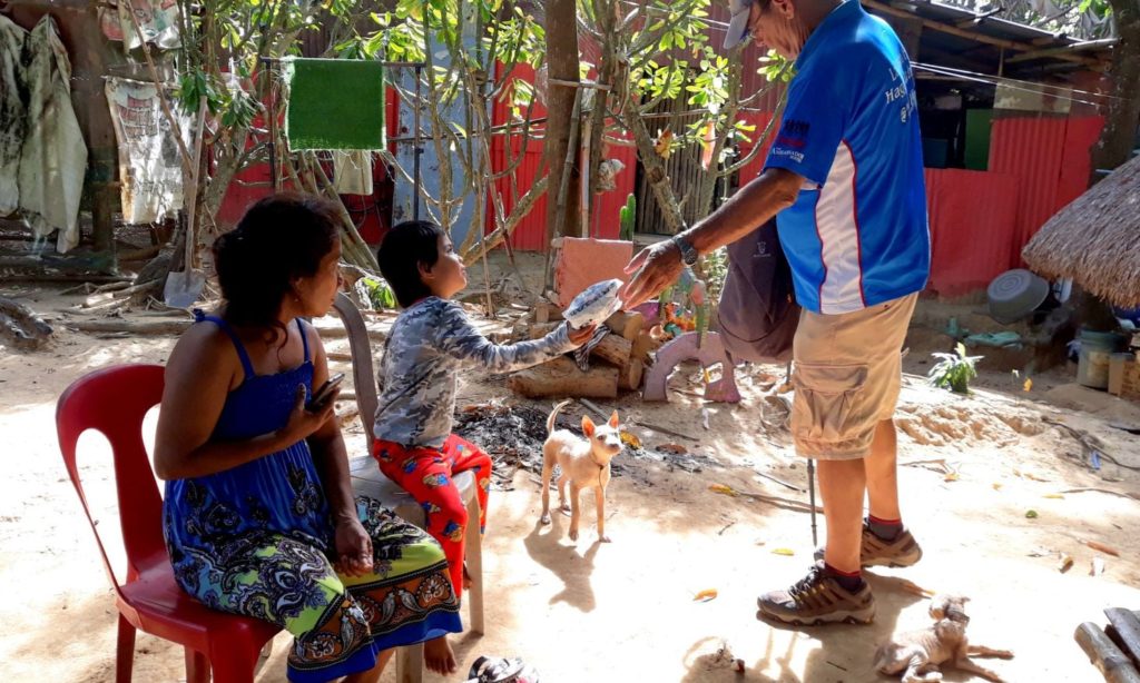
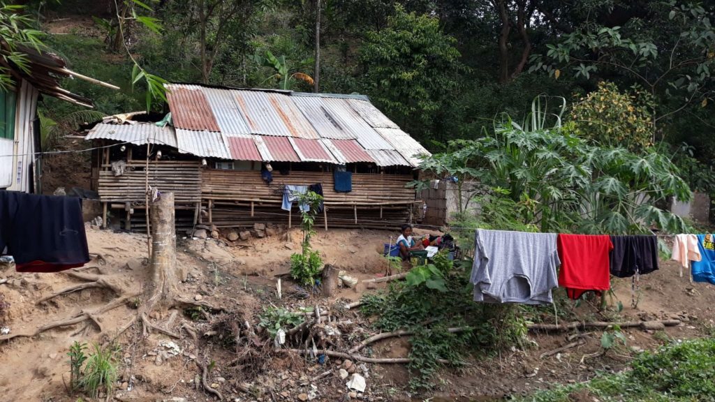
The shanties and trails all radiate their own special beauty.
Pretty cool app. Does it have the GPS feature built in, or does it work off of your FItBit (or similar)? I know there are a number of trail apps out there. (I use All Trails). What do you normally use?
Yeah, we teased Scott about shitting his pants. That’s what it looked like!
I think what I like about Relive is the nice Google Earth map and how it draws the trail you hiked in an as you go fashion showing the photo stops along the way. Since the photos aren’t viewed full size I’ll continue to post the best ones separately. Might make for some occasional repetition, but so be it.
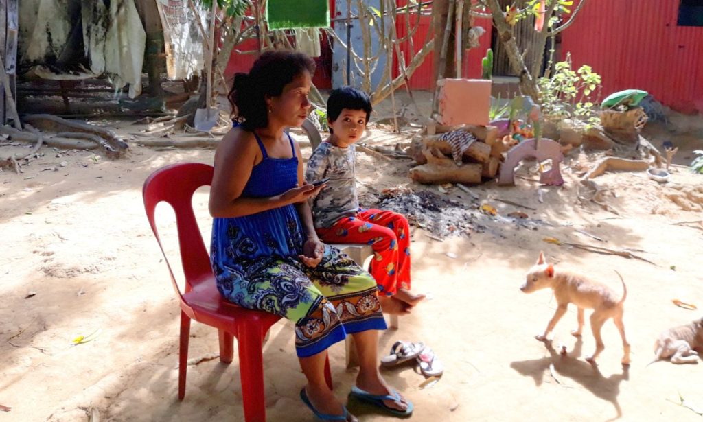
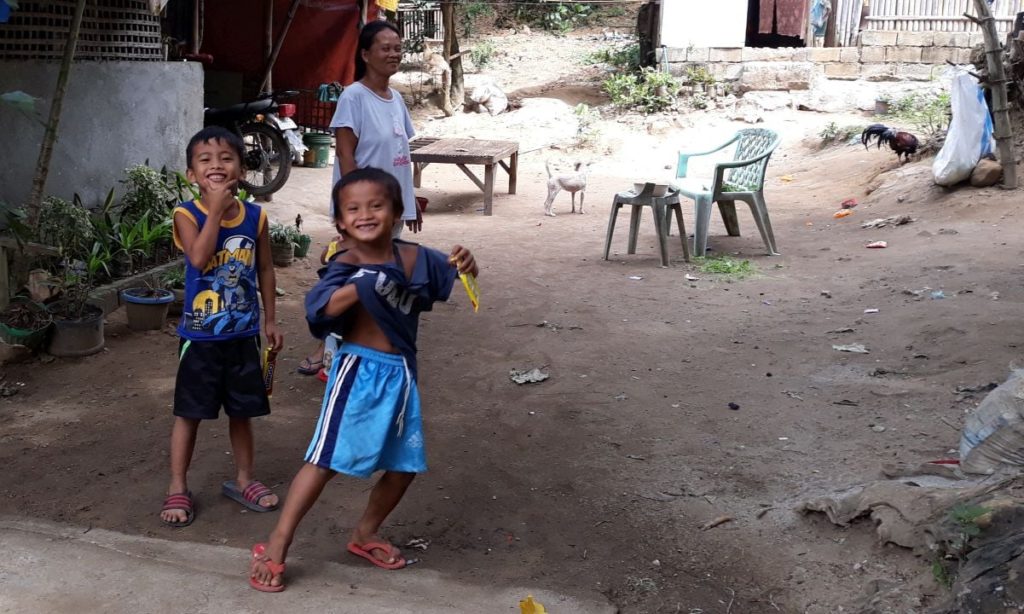
I agree there is a special kind of beauty in the interaction between nature and the people scratching out a living from the land. Honestly, I am always impressed with the folks who make the best of what they have. It’s a hard life I’m sure but the ones I meet are invariably helpful and friendly. That paradox of poverty and happiness is the most impressive thing I’ve found about the people in this country.
Brian, I *think* it is tracking off my Map My Run app, at least I have them linked. That’s what I normally used. I’ve tried Strava as well. I’m such a techno-peasant though so I don’t really know enough to say what works best…
Alright, well I just now discovered other features Relive offers–if you pay for the premium version. Not ready to do that yet though…