
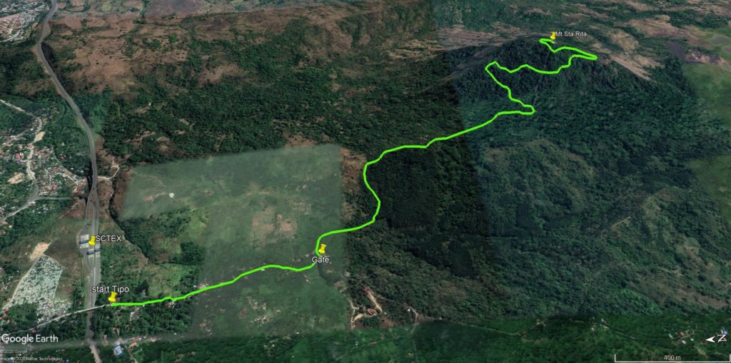
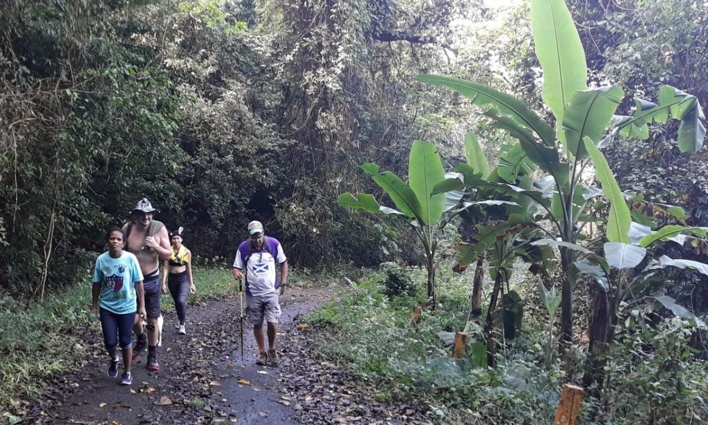
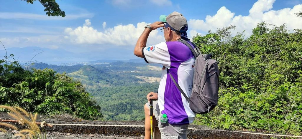
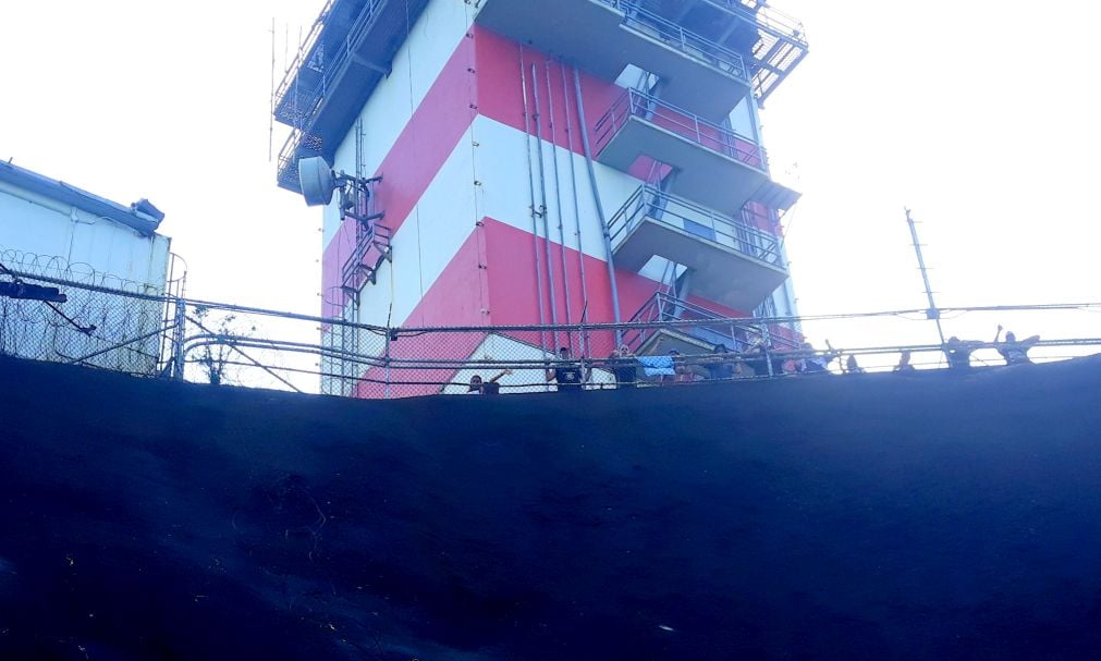
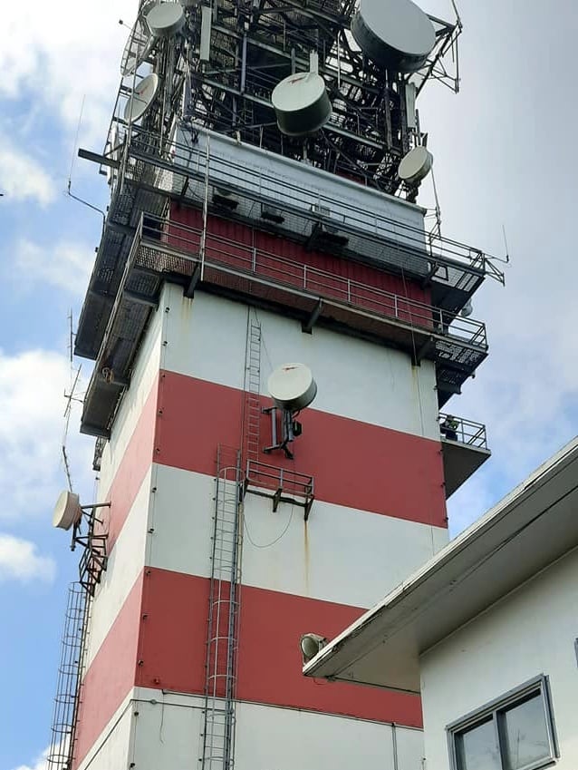
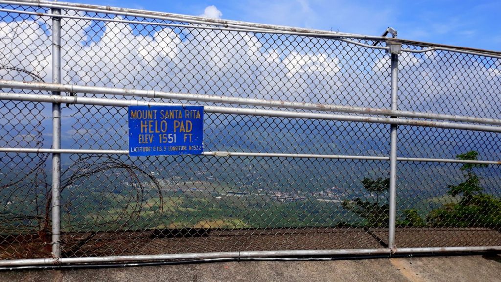
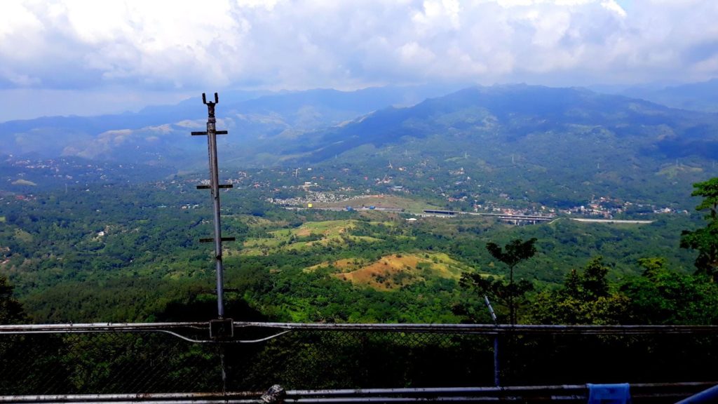
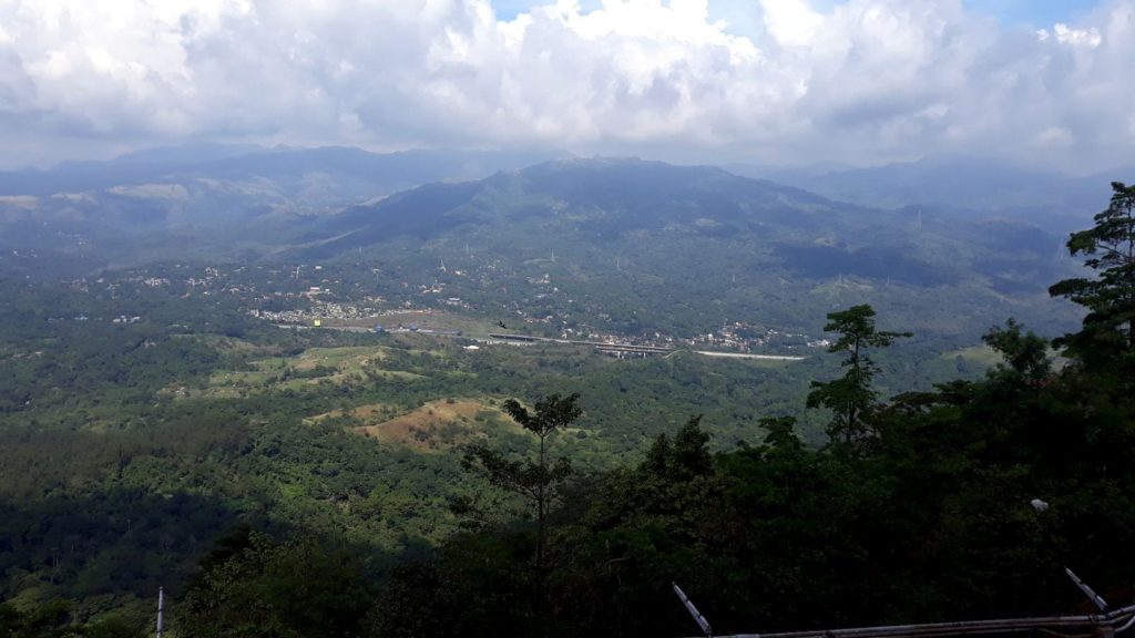
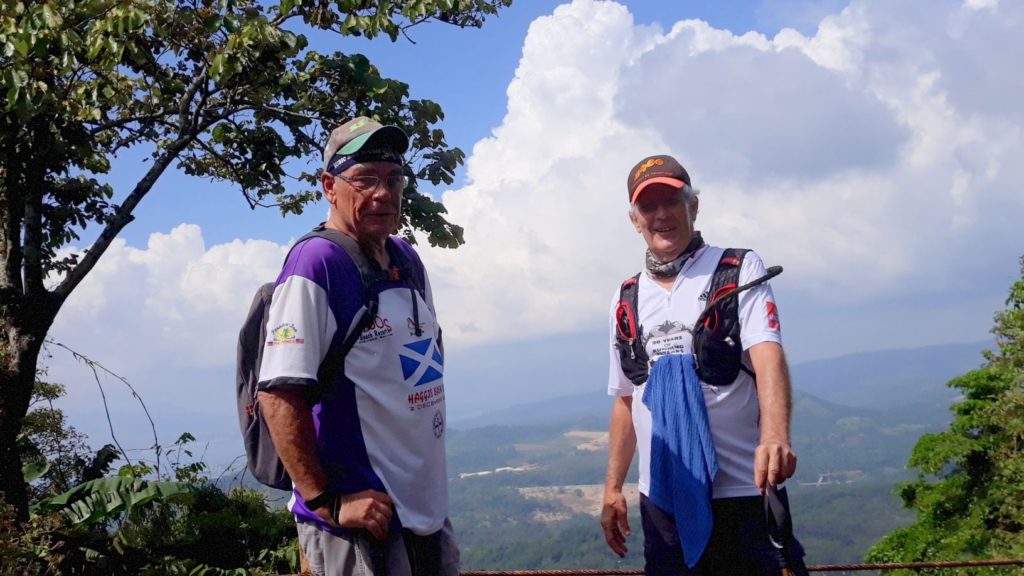
Another adventurous hike with the Wednesday walking group yesterday. We traveled out to Bataan, the province next door on the other side of the old Navy base. Our destination was the tower atop Mount Santa Rita.
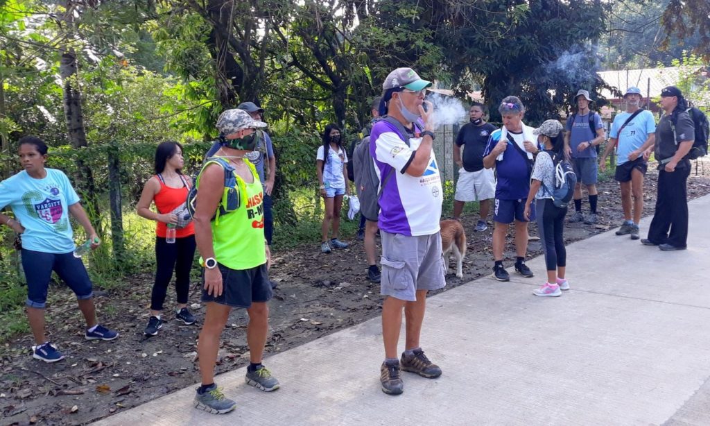
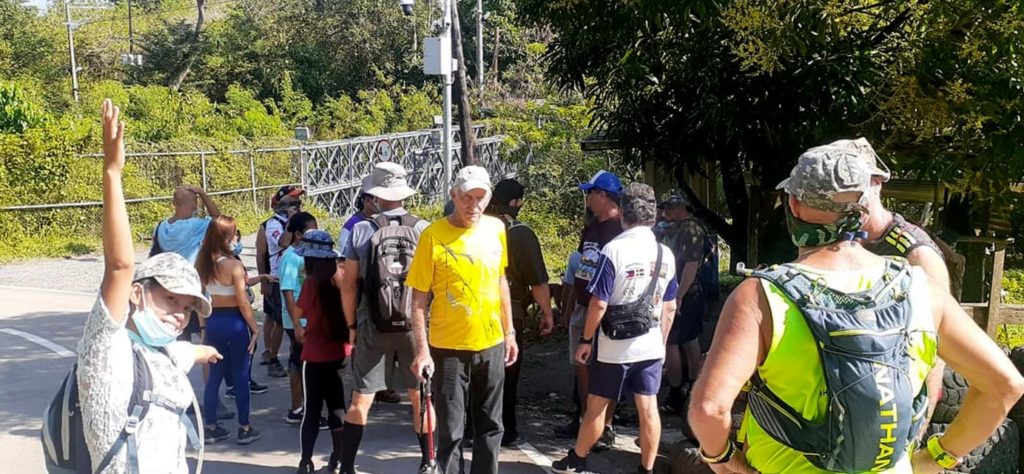
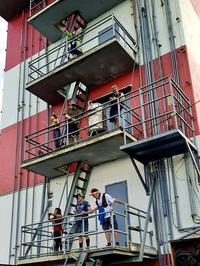
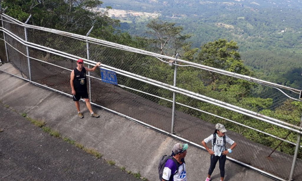
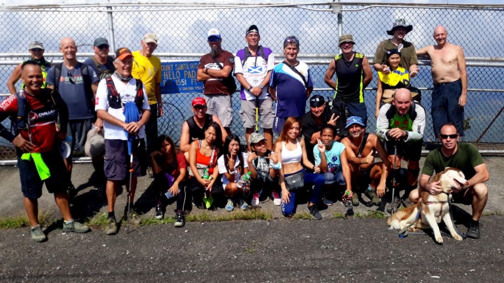
These days the property serves as a weather observatory of some sort and is controlled by the Philippine military. We needed special permission to enter and make the hike. Our planned adventure proved to be quite popular, with over 30 folks signing up, including a contingent from Angeles City.
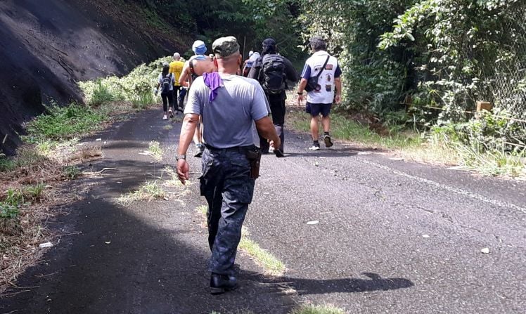
Alright, so what was I thinking to take on this trail barely a week after the nearly disastrous hike to Boton Falls on the old Navy base? Well, the situation was quite a bit different. I mean we were hiking up a paved road, there and back again. So there would be no getting lost, no sticker bushes, no stinging ants. I likened it to my days back in Korea when I’d make the climb up to Seoul Tower on pavement.

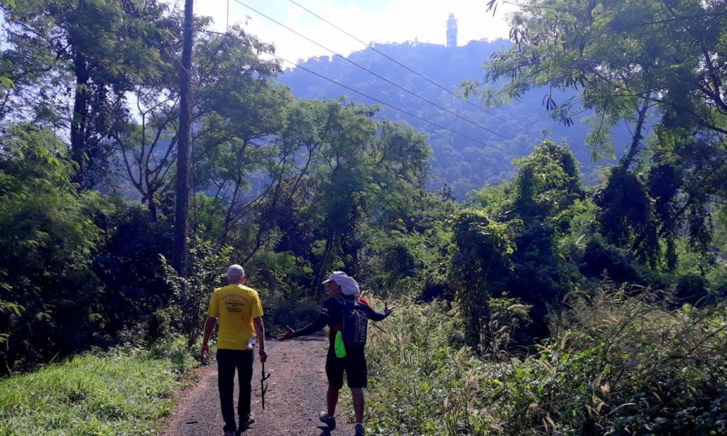
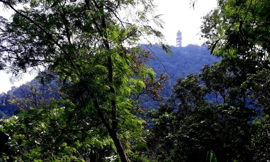
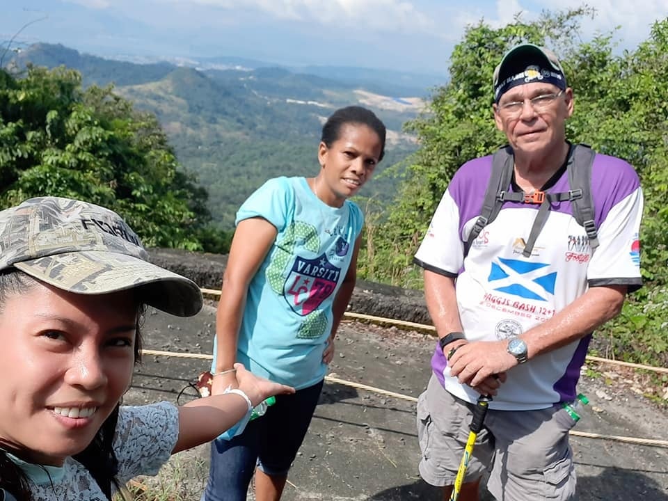
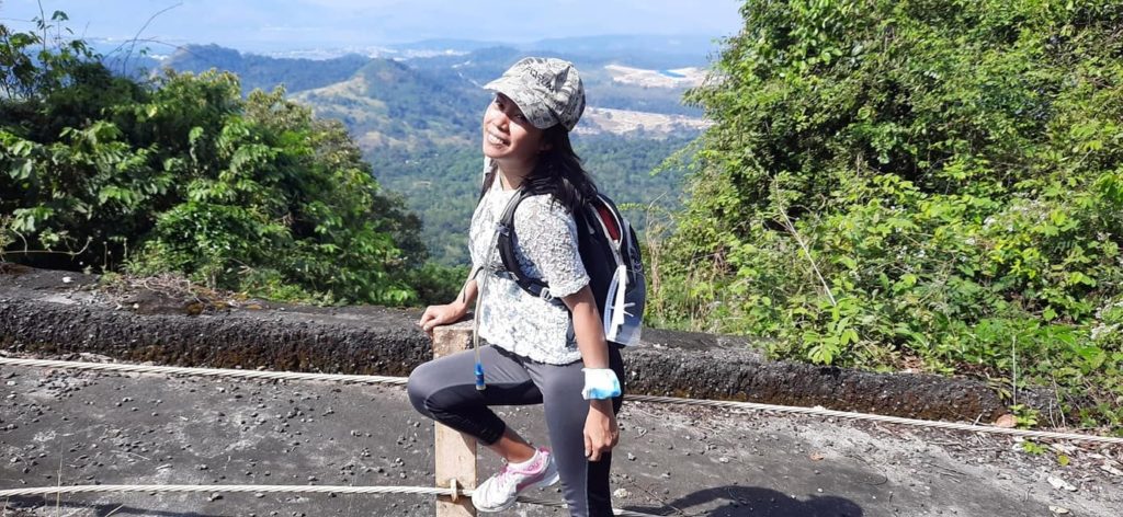
It turns out I was wrong about that. To begin, Mount Santa Rita is twice as high as Namsan. And the road leading up there was much steeper than I imagined it would be. It was 4.5K to the top, with the last 2K being at a 20% or so grade. It kicked my ass and there was some real question in my mind if I were going to be able to make it all the way up. In the end, pride would not let me bail before reaching the objective, but man oh man, were my lungs screaming. I’ve been struggling with uphills quite a bit lately but this prolonged ordeal felt like it was going to kill me. I’m not sure what the deal is, but I suspect my diminished lung capacity is not supplying enough oxygen to my poor old leg muscles. Anyway, I made it and I have the pictures to prove it.
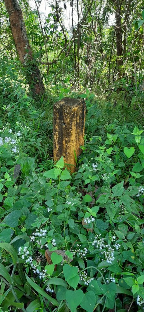
But before I get to that I did have an interesting encounter on the hike. I noticed some of these alongside the road and there was something oddly familiar about them:
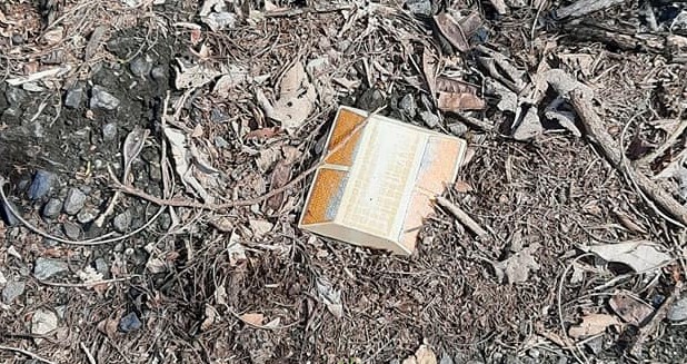
In the summer of 1972, I worked for the Rayolite company at their plant in Huntington Beach, California. Remembering that fact reminded me about a co-worker named Lisa I had a big crush on. I took her on one date, a Crosby, Stills, and Nash concert. Turns out she had a crush too, just not with me. Ah, well. Story of my as yet unlived life, right? In a sort of epilogue to that unrequited love about four years later I was a mailman in Anaheim and delivered to her house one day. Her mama told me Lisa had married her crush. I hope she had a happily ever after with him.
The other thought I had was that I may have actually had a hand in making those reflective markers. I mean, I’m sure they were installed back in the Navy days. And when I worked there they were a relatively new product line. So, it is possible that me and that Ray-O-Lite were together once again after all these years. Prove me wrong!
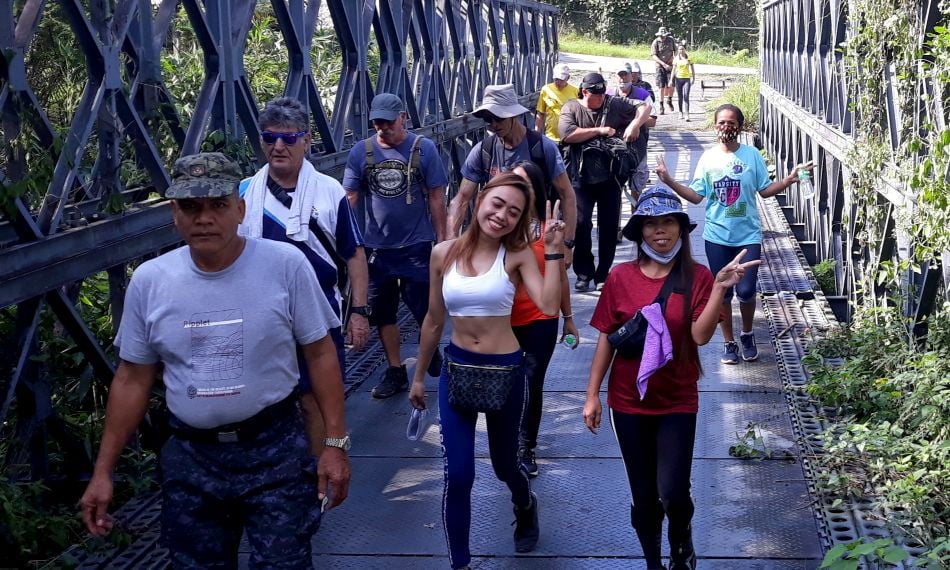
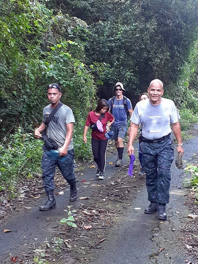
Anyway, remembering all that helped me forget my suffering a bit as I made my way up the mountain. Let’s go to the photos, shall we? (As usual, these photos are a group effort. Scott pulls them all together from several sources, cleans them up, then posts them on our Facebook page. Some are mine, but I steal them from there too.)
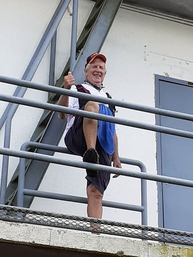

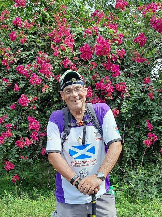
Well, I did it. Another monster hike and I lived to tell about it.
Here it is New Year’s Eve. Guess I’ll go out and do a bar crawl and see how long I last. I know it won’t be midnight though. But who knows, maybe I’ll fall in love with someone.

Happy New Year everyone! I’ll be back with a full report on tonight’s adventures tomorrow.
I’m never gonna live that Namsan hike down, am I?
“After marching up the road a kilometer or so, we had to get signed in at a military checkpoint.”
“Bataan Death March” jokes aside, that’s how you use the word “checkpoint”!
Didn’t see any 20% grades, so you know how it goes: if there are no photos, it didn’t happen!
Not sure I’ve ever attempted such a grade, either. The steepest of the steep hills I did along the Four Rivers trail were no more than 12% to maybe 18%. Big maybe.
Anyway, Happy New Year, and fondest hopes that 2021 is a much better 12-month stretch than the shitty one we just slogged through. The whole year was one onerous Hash planned by Guenter.
“I’m never gonna live that Namsan hike down, am I?” Well, the internet is forever, so…
Maybe I should have said it FELT like a 20% grade. I honestly don’t know how to judge. In my mind, straight up is 100% and this seemed like 1/5 of that. Whatever it was, it was all I could handle!
Ha! A Guenter year is maybe the best description of 2020 that I’ve seen! Looking forward to new and better experiences in 2021! Best wishes to you for good health and happiness in the New Year!