
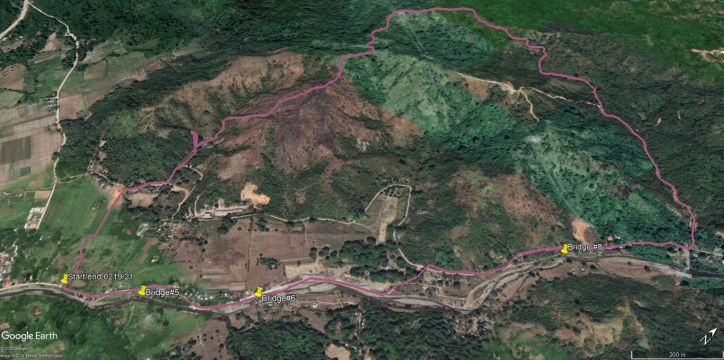
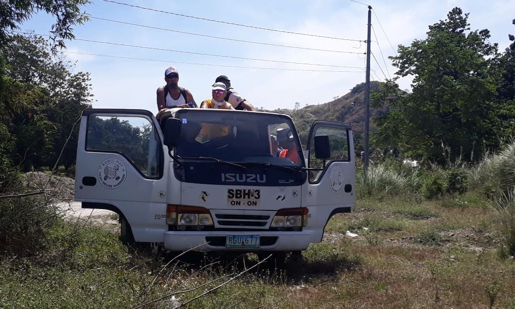
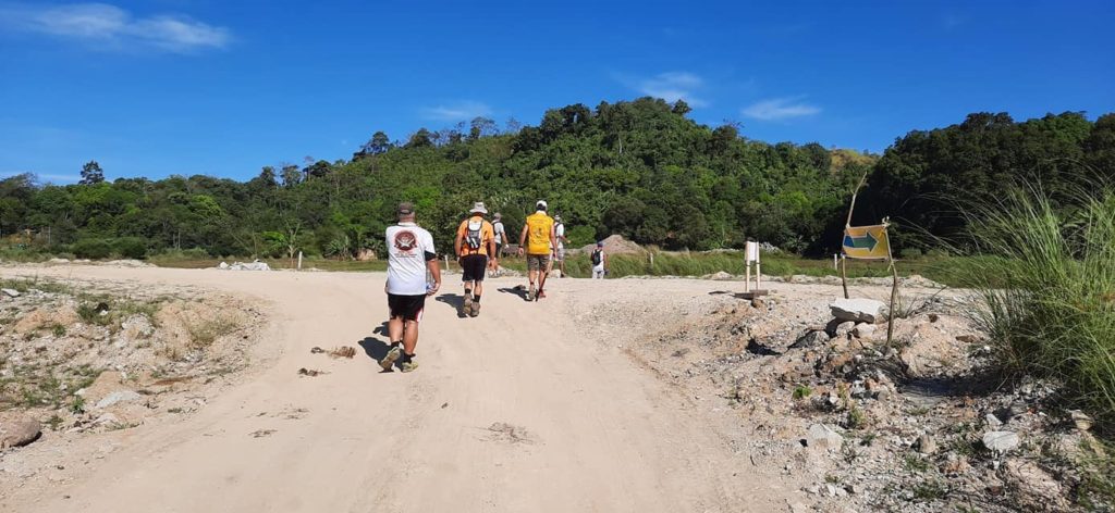
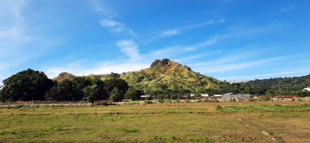
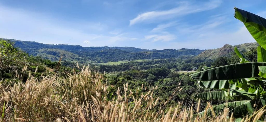
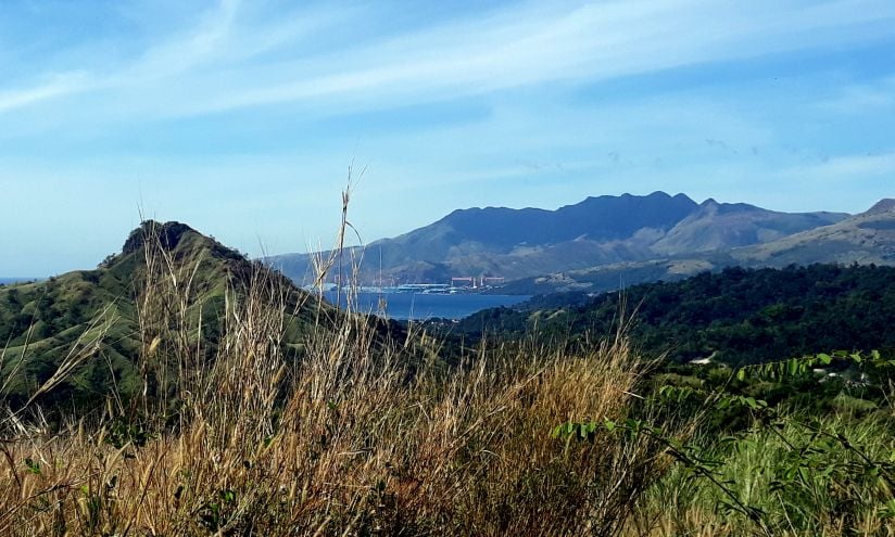
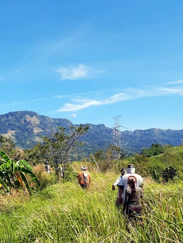
The Friday walking group has a sense of adventure. Or at least we try to by changing things up some and looking for new or little-used trails. Preferably outside of our usual stomping grounds. And that’s just what we did yesterday. Loaded up the eight of us in the Hashmobile and drove out to the Naugsal barangay to climb a new mountain. Well, it was new to me at least. A couple of the old-timers had last been up this way five years ago.
I’m sure I’ve mentioned this before, but adventure is a two-edged sword. Sure, you get the excitement of seeing and doing new things. But you also sometimes encounter the unexpected, leading to the inevitable unanticipated consequences. We dealt with a lot of the latter yesterday.
Things change over time. This became abundantly clear near the beginning of our hike when our trail leaders could not find the way up the mountain they had used all those years ago. So, we found an alternative trail of sorts to climb and thus began our adventure.
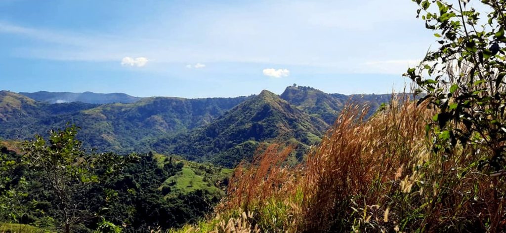
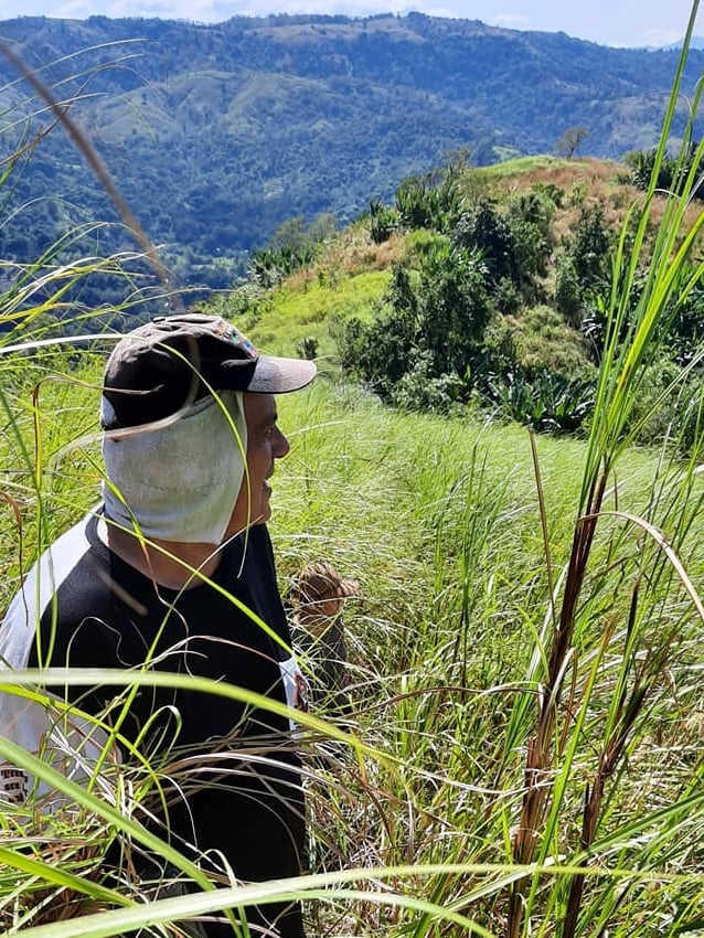
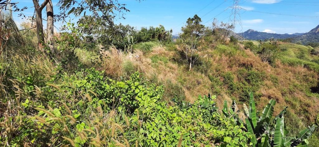
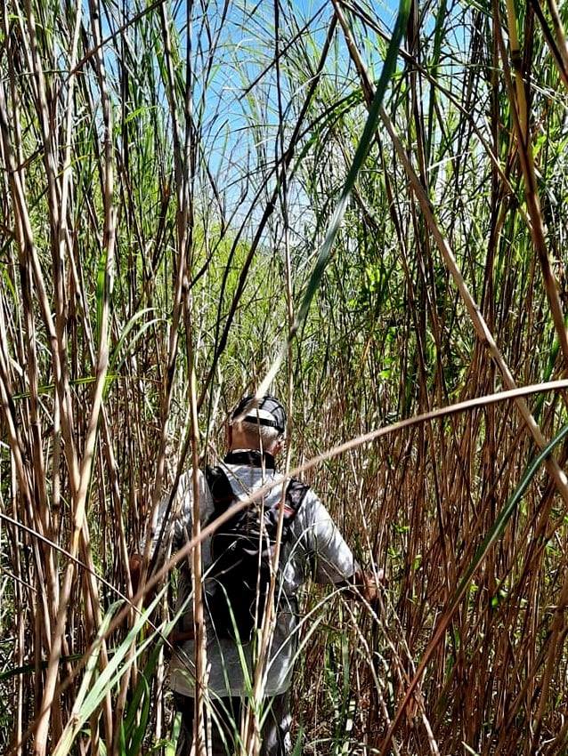
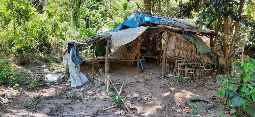
It was a long, hard, and steep path to the top of the mountain. It took about an hour to do that one-kilometer climb if that gives any indication of how difficult it was. The trail appeared to be little used as well. One thing I noticed early on was that there were no shanties or shacks or other signs of people spending time up there. Another thing that stood out was the absence of litter, which is pretty much unheard of in this country. In retrospect, that should have been a warning sign. Near the top, there were a couple of piles of harvested thatch grass waiting to be carried back down. Other than that, no indications that people spent time up here. At the time I thought that was a nice change from the ordinary. And despite the challenging climb, I was really enjoying the new vistas and perspectives.
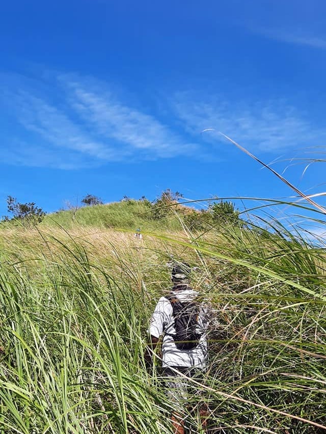
Once we reached the top, our trail leaders fanned out in search of the true trail we were aiming for but there was nothing to be found. So we commenced hiking along the ridgeline keeping our eyes peeled for a trail down the other side of the mountain. This effort was stymied in large part because the thatch grass up top was taller and thicker than any I’ve encountered previously. Eventually, we came across something with a path-like appearance and given the lack of viable alternatives, decided to see where it might take us.
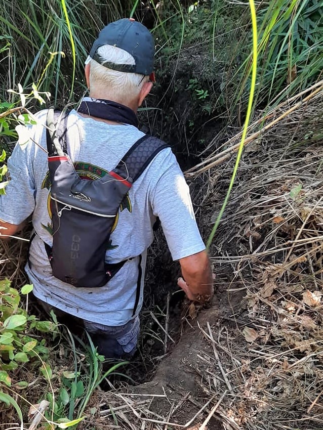
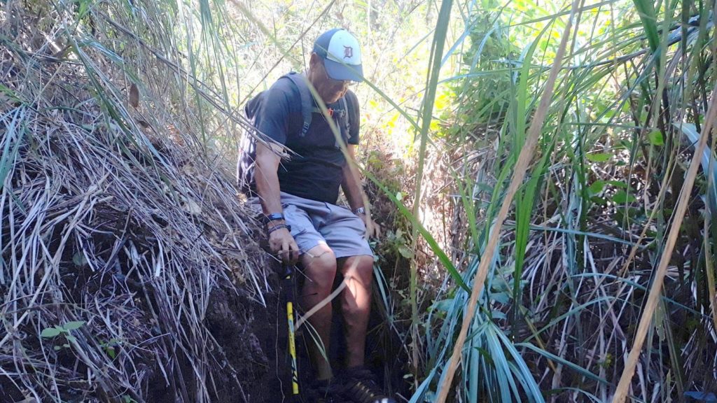
It wasn’t long before it became apparent that what we were on was not a human-made path, instead, it was the way that water found to travel down the mountain. Eventually, we found ourselves in an actual creekbed. Those are generally a pain in the ass to traverse and this one was no exception. Several times we had to climb up and around nature’s obstacles in the watercourse. And still no sign of an actual trail made by and for human beings. Despite our hike becoming more of an ordeal, no one wanted to turn around and go back from whence we came. We all agreed that the nightmare behind us could be no worse than whatever might still lay ahead. So on we plodded.
That thatch grass is always a bitch to walk through and sometimes will leave scratches and/or itches. But in the creekbed, we were constantly getting tangled up in vines and roots that would trip us up. Even worse, some of those vines were covered in sharp thorns that hurt like a motherfucker when they stabbed you. It was also a very steep descent in places which made for really slow going. I managed to keep my feet somehow, but poor Scott went down three times that I saw. Once was perilously close to a drop-off that would have definitely ruined his day had he gone over the edge.
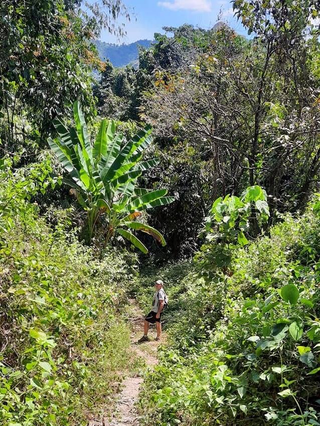
I’m writing this so that’s a pretty good clue that I survived. So did everyone else. Near the bottom of the mountain, we did finally come across a path that led us back to civilization. It was one of the hardest trails I’ve ever done. It was only a bit more than 6K from beginning to end, but it took us over 3 hours to complete. That’s slow, even for me!
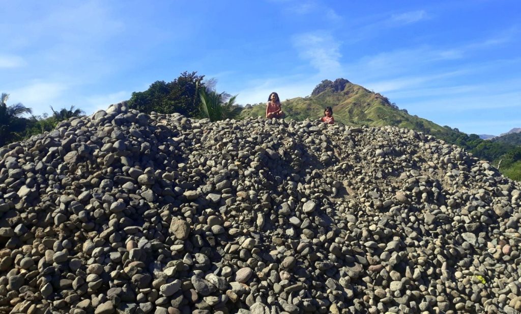
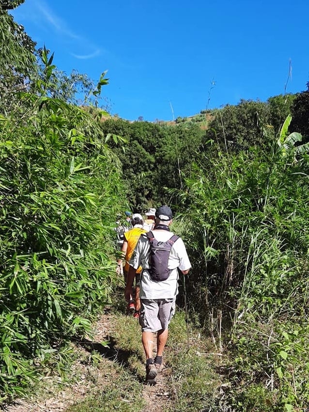
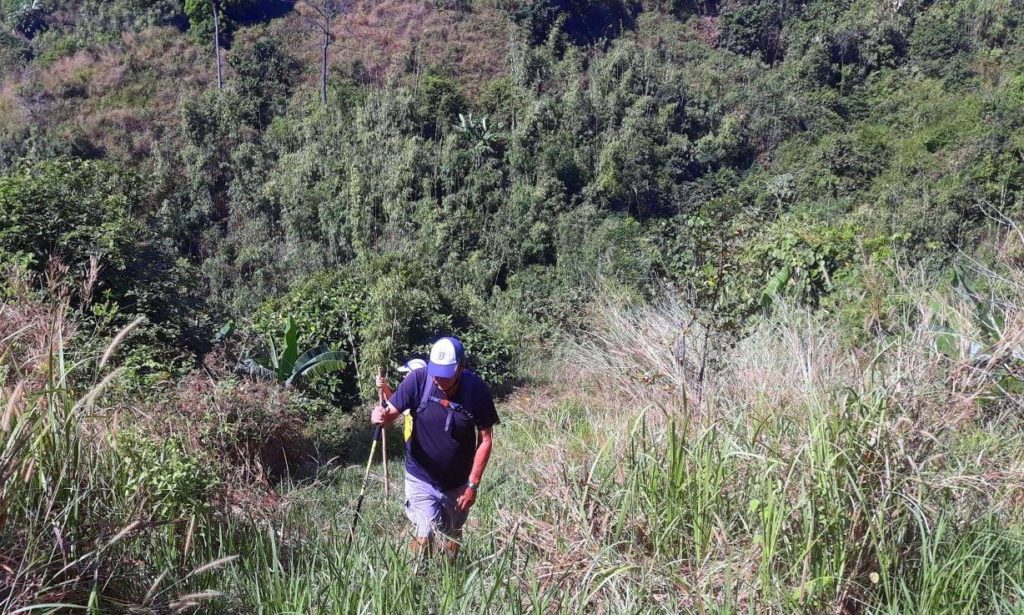
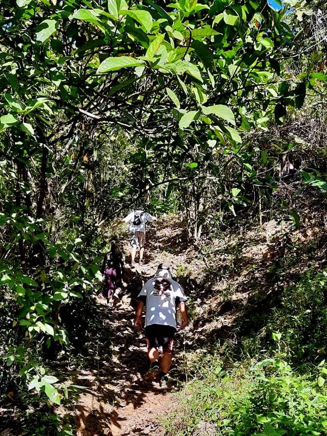
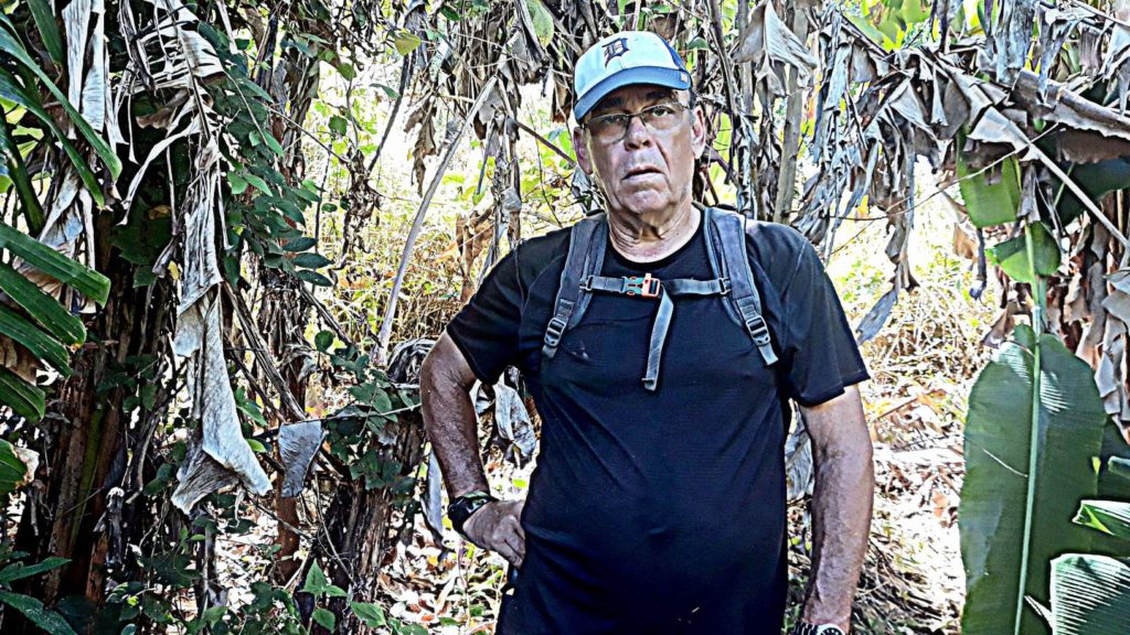
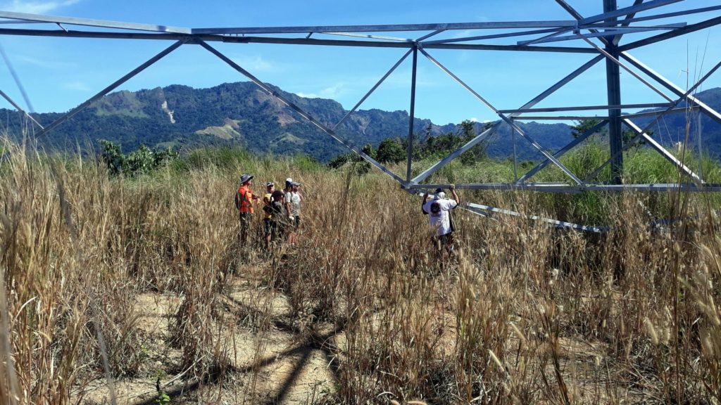
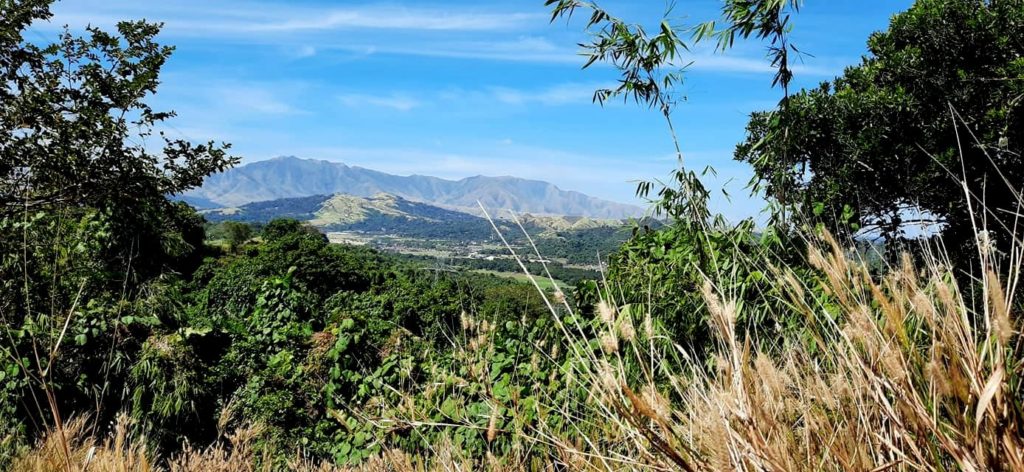
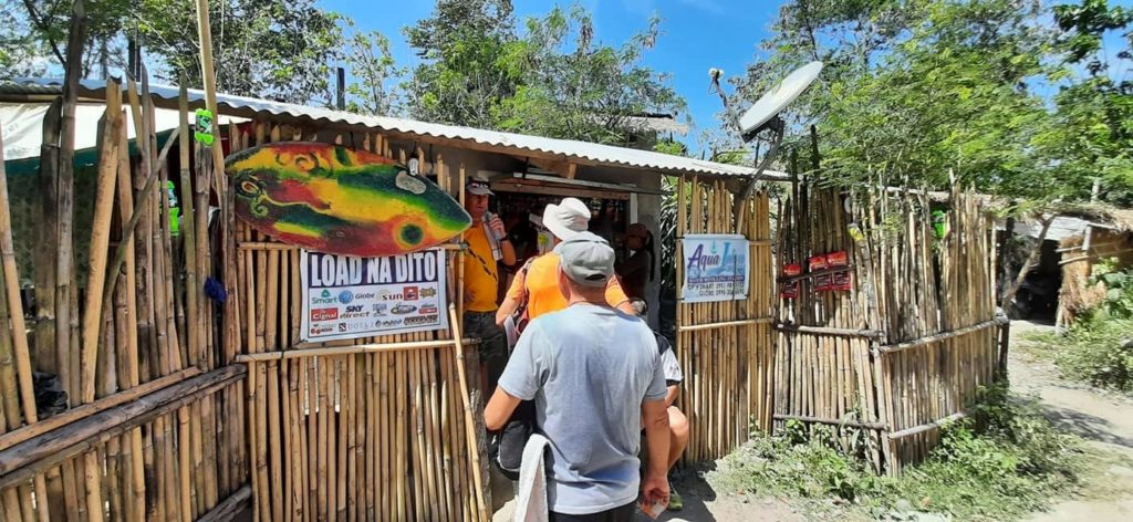
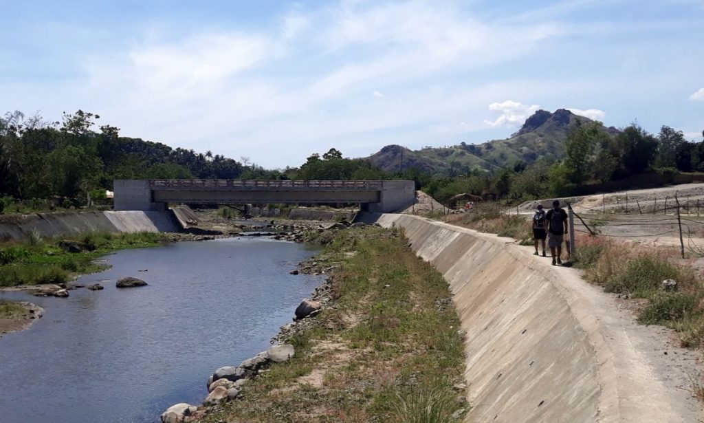
What’s an adventure without photographic evidence? Here you go:
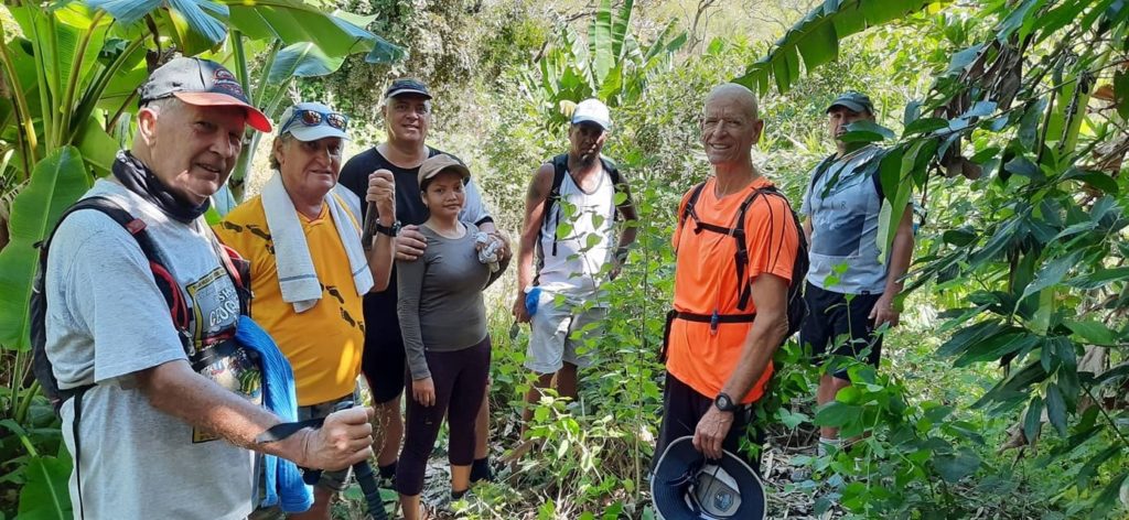

And so ended our adventure. How whipped was I? Well, I didn’t do the traditional after-hike beer stop. That should give you some indication.
Next week we are going all the way out to San Antonio for our Friday hike. Scott promises it will be a flat and adventure-free trail. We’ll see.
UPDATE: Here is Scott’s Relive video of the hike brought to you by popular request.
UPDATE II: My Relive finally uploaded:
Damn. So at one point, you guys were traveling at 1 km/h? Yikes. Can’t say that I envy you, but I’m glad you all made it back alive. Is there no way to scout out the terrain (online, for example) before you go on such Guenter-level hikes? Oh, and there’s no Relive footage of this hike?
Yeah, that first climb was a slow-go, in part because we had to backtrack once when we hit a dead-end and we had some downtime while the leaders were fruitlessly searching for a trail.
Not really fair to call this one a “Guenter trail” since it was so short. And had we found the trail we intended, it wouldn’t have been so steep. Just some bad luck really. It’s funny you mention the scouting thing. There was some discussion about getting a drone to do some pre-hike reconnaissance.
For some reason, my tracker didn’t upload this trail to Relive. I found Scott’s Relive video and I’m updating this post to include it.
Considering how dicey some of these “trails” are, do you guys ever discuss contingency plans should someone break a leg or worse, god-forbid? not to put a damper on the event but i think it’s worth discussing. i doubt the locals would dispatch a air ambulance. Peace Out!
Soju, it’s not really discussed but always in the back of my mind. That’s why I stopped hiking the mountains alone. One false step and you could be in a world of hurt. On some of those trails, it may be a LONG time before anyone even found you. So it is all about being careful. I’ve asked if anyone has ever been seriously injured during a Hash, and it seems the worst has been some stitches (me included). We have had people get lost and spend the night on a mountain though. Geez, that would be a nightmare!