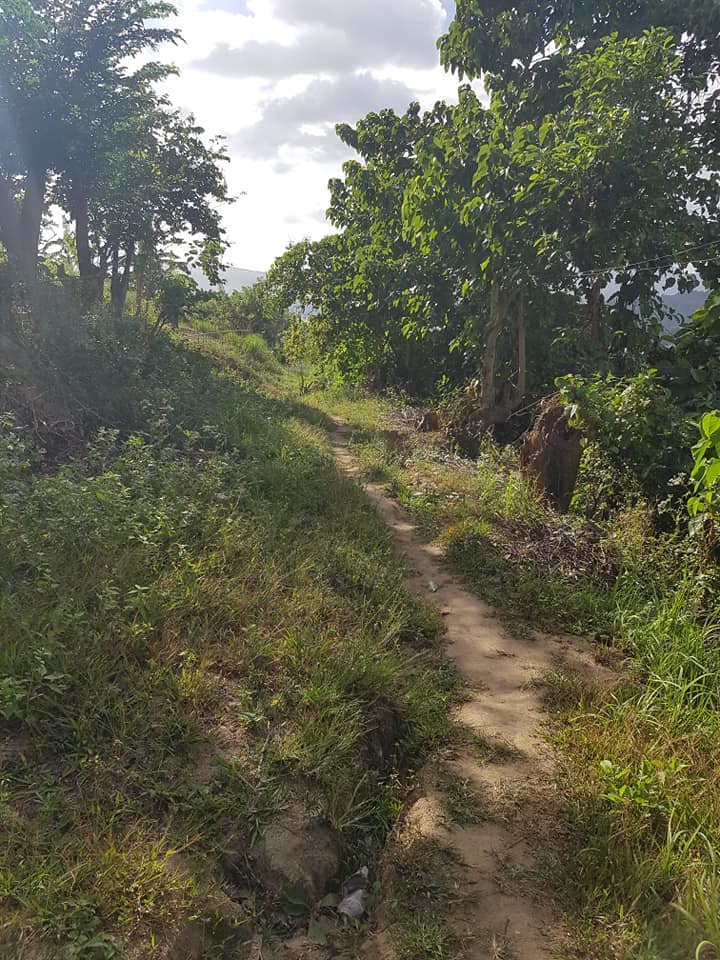
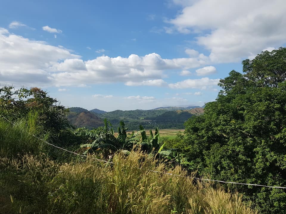
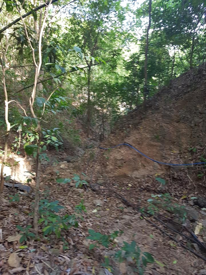
I’ve been trying to find a back way out of my subdivision and over the mountain to Barretto, specifically to wear Rizal road dead ends. I know such a pathway exists because I hashed it once but try as I might I haven’t been able to find that trail.
It’s a pretty big deal for me to even attempt walking these backwoods paths on my own anyway. Overcoming my fear of getting hurt or lost has taken some time. There was a moment yesterday when I’m out in the middle of the wilderness and I encounter a man walking towards me–carrying a machete! Despite my feelings of vulnerability we exchanged a hearty greeting and went on our separate ways. So sometimes you just have to feel the fear and do it anyway I suppose.
My plan was to approach the mission of discovery from a different perspective–I determined to start my walk from the end of Rizal street. That was a good 45 minute hike the long way around from my house. Once I got off the road I figured my innate sense of direction would lead me to the proper trail back to Alta Vista subdivision. Turns out my sense of direction is similar to that of another famous explorer…Christopher Columbus. Except I didn’t see any Indians.
Long story short, after wandering around on the mountain for awhile the trail I discerned to be the correct one led me back down. And I found myself on Rizal street! Damn it!


Speaking of being stymied, Facebook twisted the knife in my heart by sharing this memory from 2 years ago:

Talk about going in circles.
UPDATE: Damn, turns out I’ve used “Stymied” as a post title once before–July 2016. It was about a medical issue I was experiencing. Is there no depth to the lack of depthness I’m willing to expose my readers to? Apparently not!

It might or might not be helpful to use GPS navigation on your phone to ensure you’re not going in circles. There’s another, more old-school, more common-sense type of navigation… it has a name, but I can’t remember the name right now. It requires a compass (something you can download onto your phone as well). Basically, you plot out the general direction you need to go in—SE, NW, NE, etc.—then you point yourself in that direction. Before you even take a step, you look ahead and find a landmark that’s within your line of sight and also in the direction you’re walking. You walk until you reach that landmark, then stop. Use your compass to re-find the direction you need to go in, find another landmark, then proceed in that direction.
It’s not a perfect system, obviously: you might see a landmark far ahead, but the path you’re on swings the opposite way. In such cases, it might be wise to find a really far-off landmark, way in the distance, that you set for yourself as your next waypoint. If you veer way off the path, you then stop and look for that far-off landmark, and go toward it on any path that takes you in that direction. If you veer away again, just repeat this procedure. And then, when you finally reach that landmark, just get your bearings, point yourself at your original heading, and set off again in your chosen direction.
Think of this as a navigational algorithm, It’s not perfect, but it’ll eventually get you where you’re going. Having GPS as an aid is just icing on the cake. Assuming you get a cell signal when you’re out in the boonies, of course.
[Please delete my first comment. This comment contains a correction.]
It might or might not be helpful to use GPS navigation on your phone to ensure you’re not going in circles. There’s another, more old-school, more common-sense type of navigation… it has a name, but I can’t remember the name right now. It requires a compass (something you can download onto your phone as well). Basically, you plot out the general direction you need to go in—SE, NW, NE, etc.—then you point yourself in that direction. Before you even take a step, you look ahead and find a landmark that’s within your line of sight and also in the direction you’re walking. You walk until you reach that landmark, then stop. Use your compass to re-find the direction you need to go in, find another landmark, then proceed in that direction.
It’s not a perfect system, obviously: you might see a landmark far ahead, but the path you’re on swings the opposite way. In such cases, it might be wise to find a really far-off landmark, way in the distance, that you set for yourself as your next waypoint. If you veer way off the path, you then stop and look for that far-off landmark, and go toward it on any path that takes you in that direction. If you veer away again, just repeat this procedure. And then, when you finally reach that landmark, just get your bearings, point yourself at your original heading, and set off again in your chosen direction.
Think of this as a navigational algorithm. It’s not perfect, but it’ll eventually get you where you’re going. Having GPS as an aid is just icing on the cake. Assuming you get a cell signal when you’re out in the boonies, of course.
Good advice, thanks Kevin. Actually on my walk today through the valley I was looking UP to the mountain for landmarks I might utilize. The obvious one being some power lines.
As I’ve thought about where I might have gone wrong I remember one spot with a trail going left and another going right. The problem was I was standing in a squatter’s yard surrounded by barking dogs. I looked at the squatter and shrugged and he pointed left so I went that way. Probably should have gone right.
Another issue is that with the Hash we go over and around fences and through people’s yards. I’m just not comfortable doing that, especially on my own. So even with your method I might have a hard to keeping in the right direction.
I’m going to give it another try soon though, we’ll see what happens.
Depending on how serious you are about this whole navigation thing, you might consider
1. getting contour maps of your local region that are made to a scale fine enough to show things like mountain trails, and/or
2. joining an orienteering club in your area, if such a thing exists.
Whatever you end up doing, I wish you success in finding the path you’re looking for.
John — Try Google maps. You may be able to drill down far enough to spot your desired route.
Thanks, Thomas. It’s worth a try…
Less(or more) beer the night before may get your internal gyro calibrated.
Haha! I’ll try MORE beer first then!
I was going to suggest orienteering, but I see that Kevin beat me to it. I ran X-country in college and we used to orienteer to vary the workouts. Lots of fun.
Orienting sounds really interesting. Haven’t heard of any groups here that do that, but I’ll keep me ears (eyes?) open. The other issue for me is some of these trails get a little dicey and I worry about being out in the wild on my own and falling or something. The path I recall was relatively safe and easy.
I did x-country in high school….