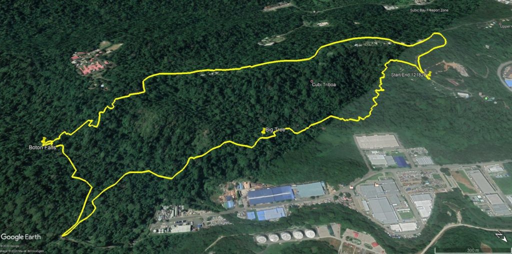
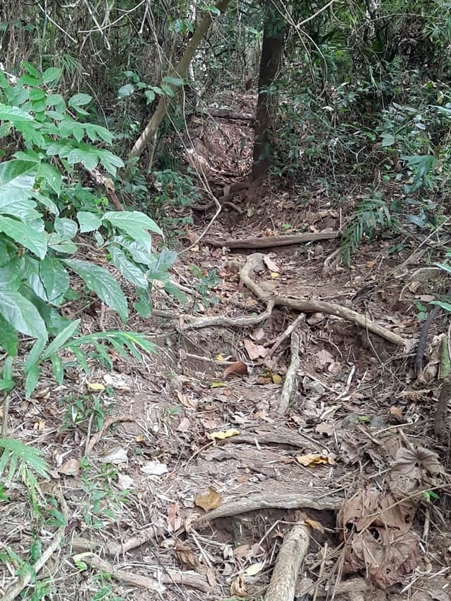
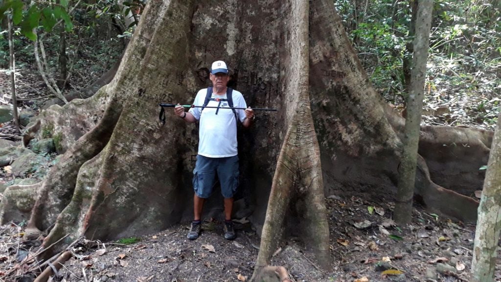
Quite the adventure on Friday’s hike. The decision was made to motor out to SBMA (the old Navy base) and hike down to the falls. I’d never been in this area and it is mostly undeveloped and little used. The terrain was very jungle-like and overgrown. There were some HUGE trees, the likes of which I hadn’t seen since visiting Sequoia National Park many years ago. The hiking trails were not in good condition, in many places fallen trees had blocked the path. This required us to either climb over or find a way around, both of which proved easier said than done.
Anyway, the first half of the hike to the falls was quite enjoyable. I always like getting out and seeing new places. The return portion though proved to be a nightmare. Lots of ups and downs, sometimes it felt like we were going in circles. The trail was covered with low-laying vines which tended to get wrapped around your feet and trip you up. That phenomenon was exacerbated as I grew increasingly tired and started dragging my feet with more frequency. Our leaders (i.e. the guys ahead of me on trail, which is pretty much everyone) assured me we were almost there and that this was the last hill. So, I was ready to be done and pushing myself to finish with my dignity intact.
Oh, I didn’t mention the ants, did I? So, we are hiking along and one of the guys in front of me shouts “watch out for the ants!” And right at that moment, I feel several stings on my legs. I reached down to brush them off and got a bite on my hand as well. Damn, I’d never seen ants like these before. Big black ones. There are lots of red ants in the woods here and they’ll give you a good pinch now and then, but nothing like what those black bastards delivered. More like a bee sting. Hurt like hell for a few minutes but no swelling or other residual effects. Hopefully, that ant encounter will remain a once in a lifetime experience.
Apparently, the trail we were taking had been done on a Hash back in 2014. Lots had changed since then I guess. The guys who had been on that run didn’t see much that seemed familiar. And then somehow we lost the trail. It just disappeared into the underbrush I guess (again, I was following so I’m not sure of the hows or whens). We weren’t lost-lost, GPS told us the cars were parked at the top of the hill, less than a kilometer away. And so the decision was made to blaze our way to the top without the benefit of a trail. In retrospect, perhaps that wasn’t the best idea. The brush was heavy and dense. The vines and roots were especially difficult to traverse. To make matters worse, there was a fern-like plant covered in sharp thistles and thorns that would grab a hold of you and not want to let go. I received a lot of new scratches all over my legs from those bastards. Periodically we’d hit a stand of think bamboo with wall-like qualities that forced a retreat and go-around. And just when it seemed the nightmare couldn’t get any worse, it did.
The already steep climb became a cliff face. It appeared to be 10-12 feet high almost straight up. A couple of the guys started climbing up but I knew I didn’t have the upper body strength pulling myself up would require. I was dreading the thought of turning around and going back down through the sticker field, but there was no way I was going to attempt a climb like the one in front of me. Fortunately, one of the guys found a spot where we could climb up diagonally. It was not easy by any means, but it was at least doable.
And then finally we were at the top and made our way to the vehicles without further incident. Stopped into Vasco’s on base for lunch and beers then headed for home. I’d left the house at 0830 and it was almost 3 p.m. when I returned. A LONG hard day for this old man!
I’ve got some photos for you:
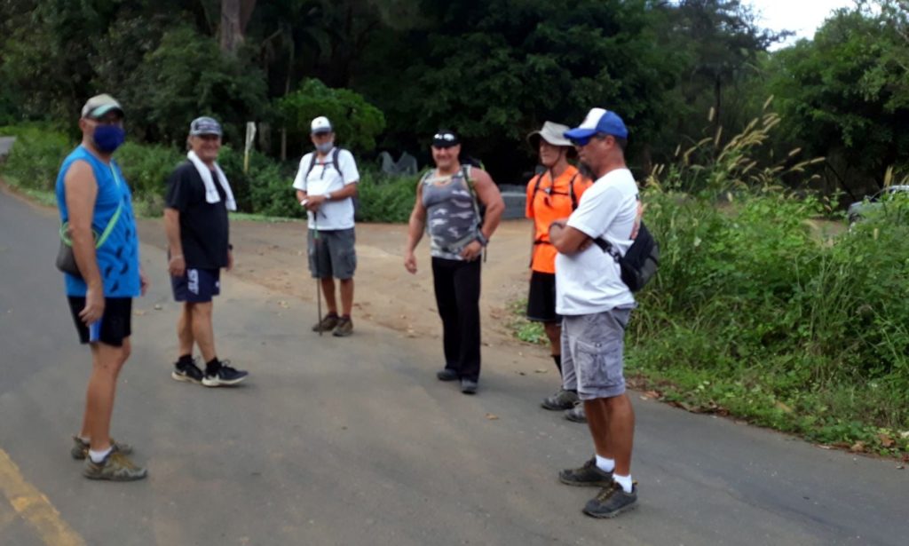
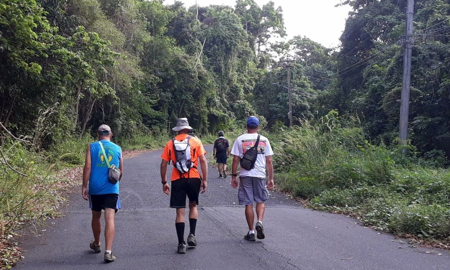
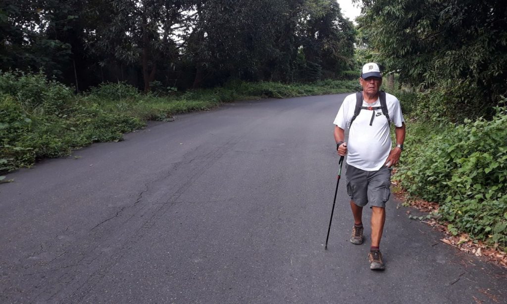
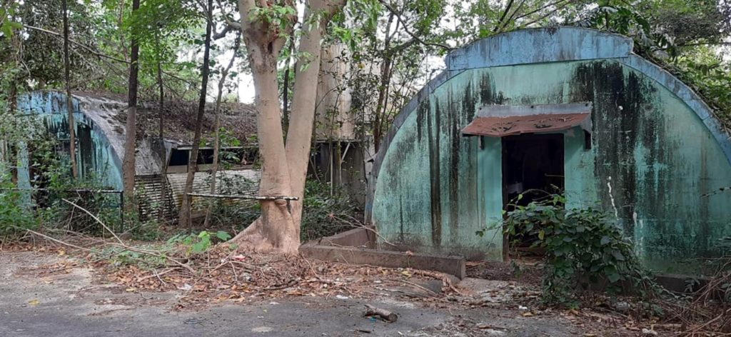
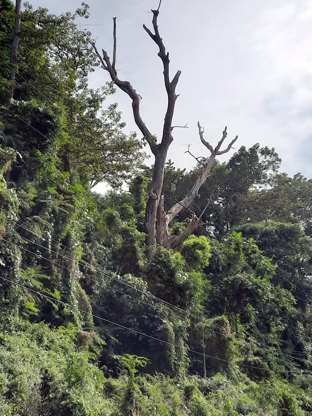
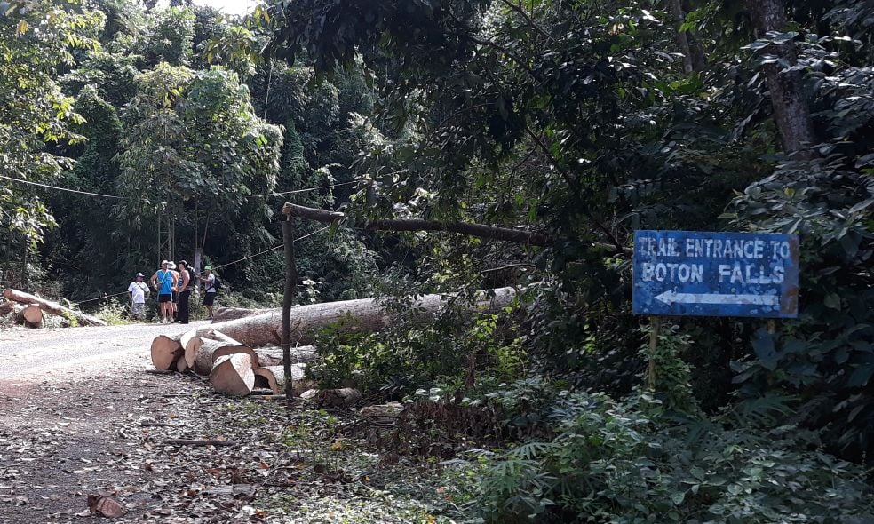
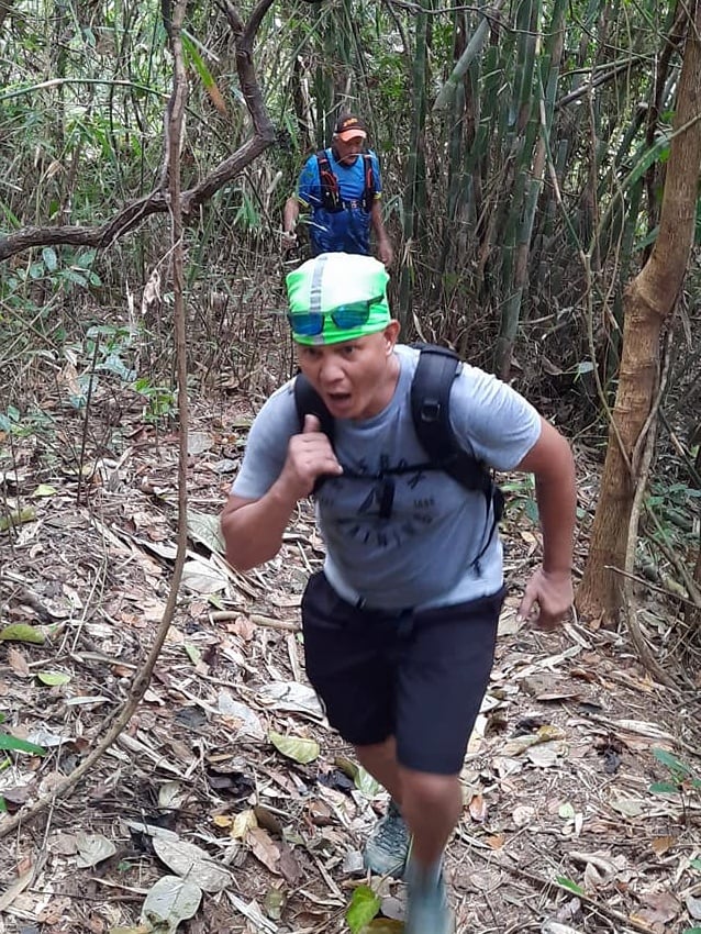
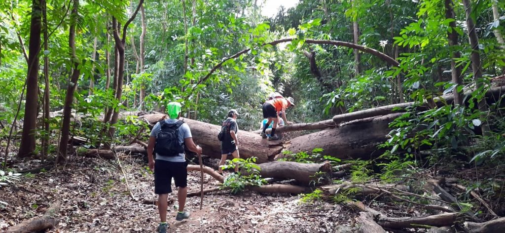
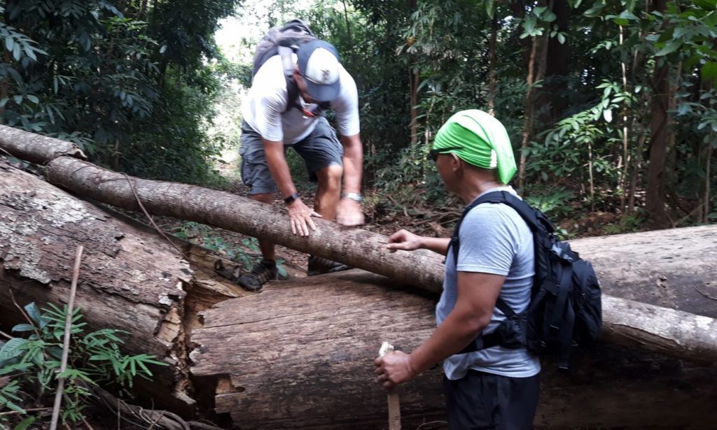
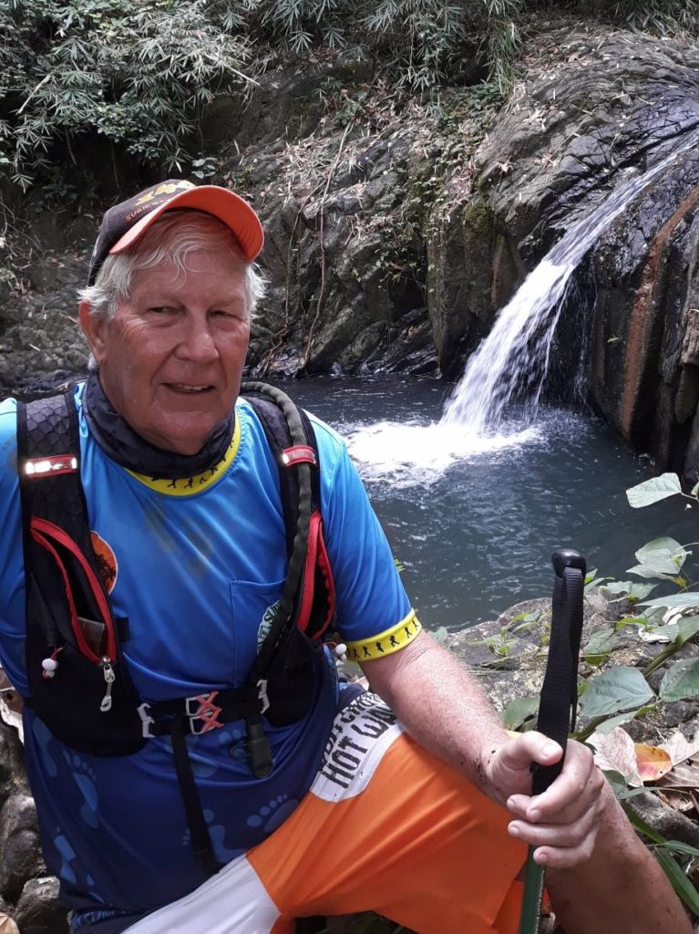
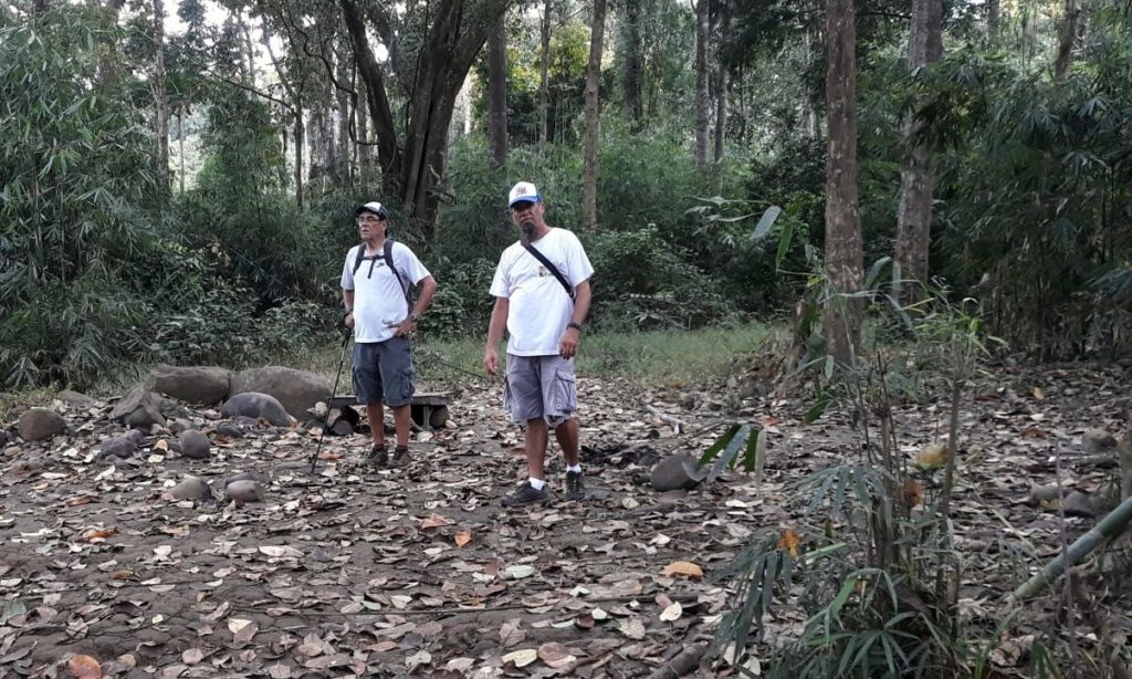
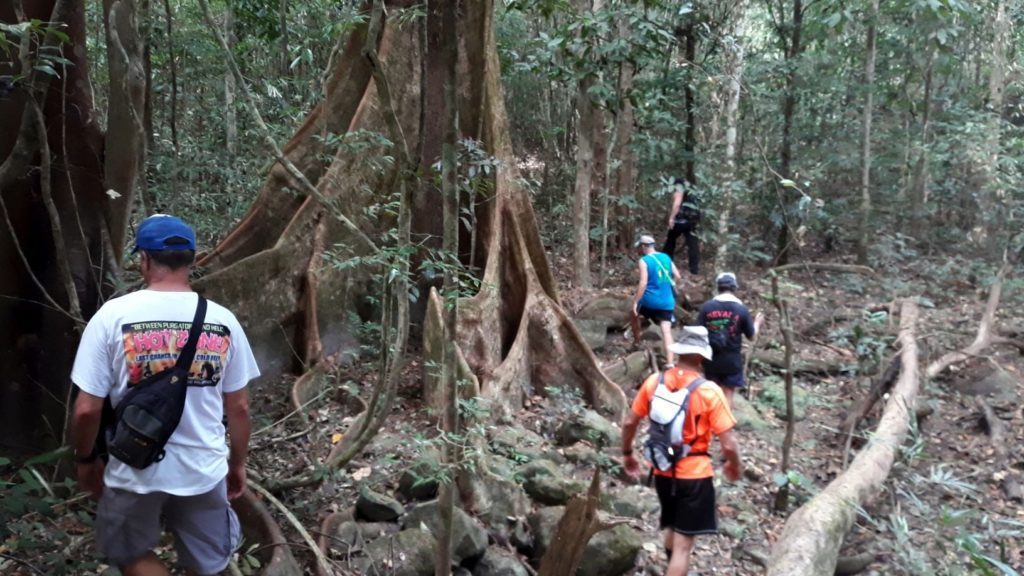
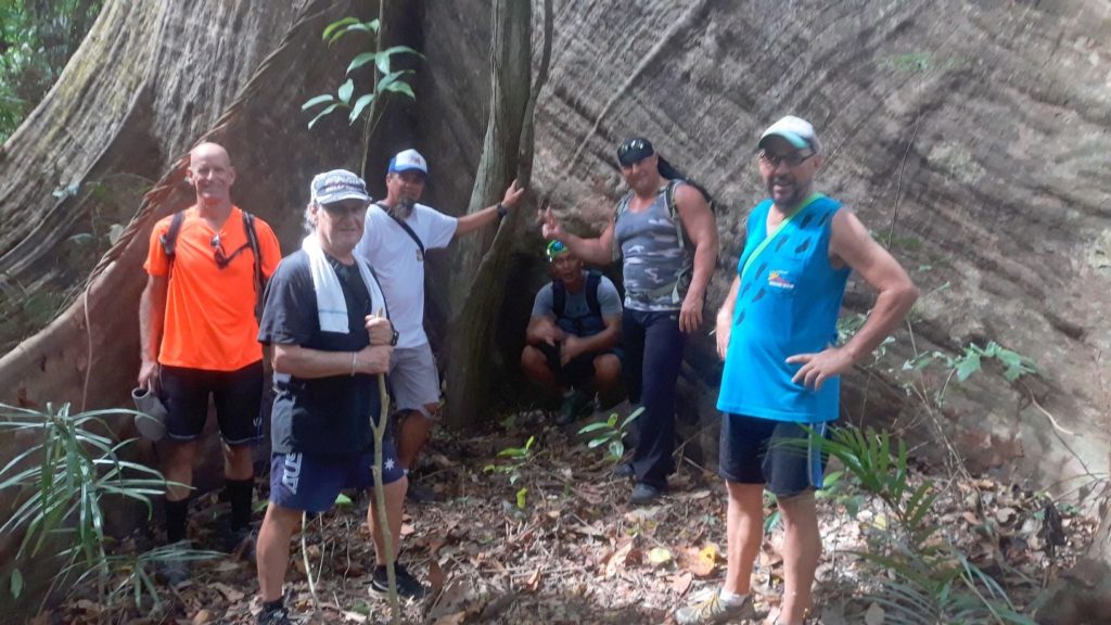
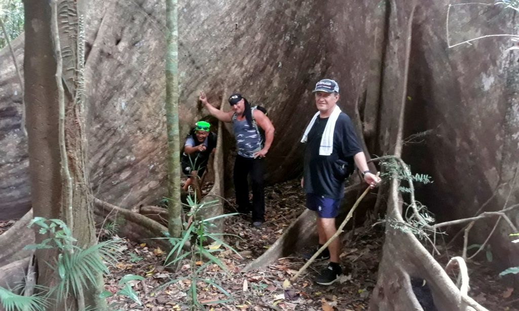
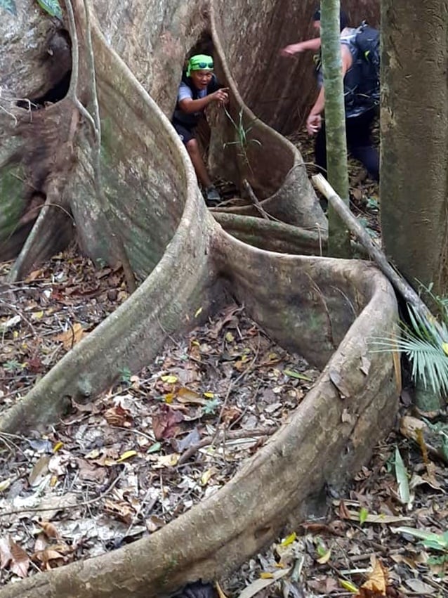
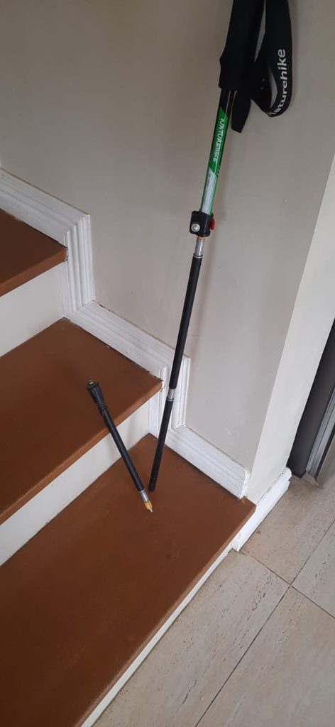
I didn’t get any shots of the nasty trail-less climb. I needed both hands and all my focus to survive. Sadly, my new trekking pole could not withstand the abuse it endured.
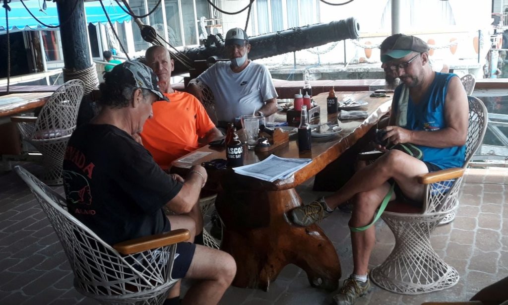
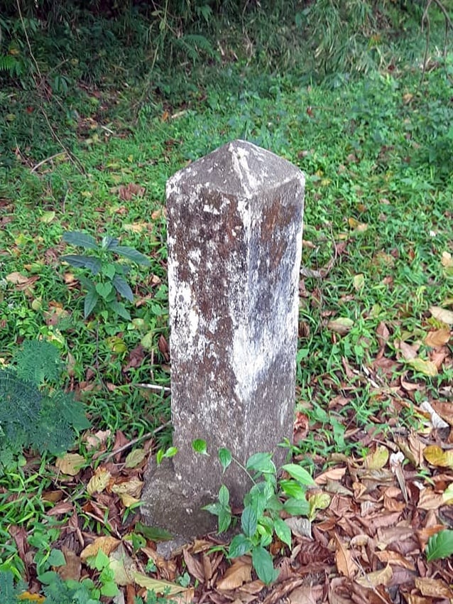
Time to get ready for today’s Candy Run Hash.
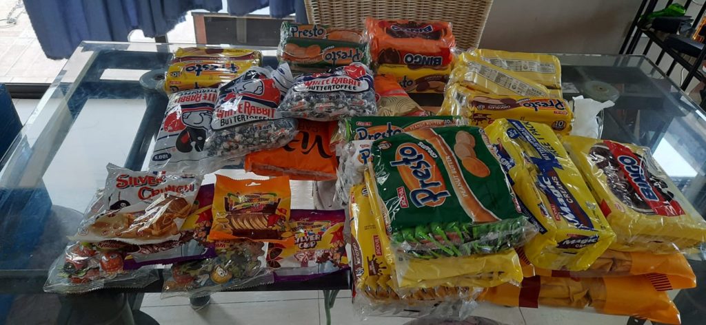
We’ve got a nice mostly flat 4K trail we’ll walk and distribute our goodies. Looking forward to the smiles.

Quite an adventure! Glad you came out of that alive. Are you looking forward to doing another like that? Is there any way to know, in advance, what sort of trail you’re going to embark upon, or are these sorts of walks always a crap shoot?
So what kind of tree is that huge one? I was tempted to say “banyan,” but of the many banyan-tree photos I looked at, only one or two seemed to have the distinctive curtain-shaped roots seen in your pictures. The rest of the banyans looked more like twisted oaks on LSD, but with root-like systems dangling off their branches and plunging into the ground. Spooky. (See here.)
Could it be a Dao tree? Wikipedia calls the roots “buttress”-shaped. That makes sense.
Wow! That was quite the hike. Looked like fun! LOL
Though, I am not sure you would agree with the philosophical saying – “the joy is in the journey, not the destination!”
Kev, well the Wednesday/Friday hikes are not pre-plotted like a Hash trail, so there is always a chance something will go wrong. There have only been a couple of other times like this one where I felt it got out of hand. We generally agree by consensus on a destination and I rely on the judgment of the oldtimers as to whether the trail will be within my limited capabilities. There is actually another hiking group for folks who prefer more challenging excursions (Guenter’s group).
Yeah, those were definitely Dao trees. We’ve got some in the hills around Barretto, but nothing as big as the ones we saw on this hike. The banyan trees are everywhere though and are quite interesting visually, no two being quite the same.
Brian, well it was MOSTLY fun, except for that last part. Barebacking up that mountain the only thought I had in mind was reaching my destination alive!
Interesting history. Looks like you were inspired by Overstay Road on Youtube.