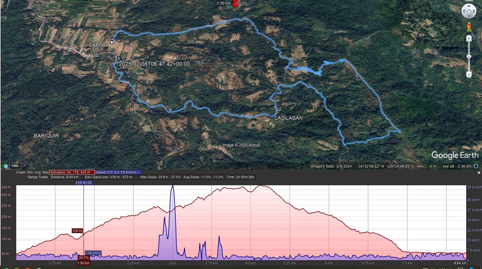
As promised, here is the story of Saturday’s Hash in La Union. BLUF, it is the most arduous Hash trail I recall participating in. It was a once-in-a-lifetime experience because I have no intention of ever going up that way again. The issue for us old fuckers (there were several who finished long after I did) was a massive climb, one that made the Kalaklan Ridge I also bitch about seem like a foothill by comparison. How high did I go? Well, there seems to be a lack of clarity in that regard. Someone on the La Union Hash Facebook page said 475 meters. My fellow Subic Hasher, Pubic Head (who didn’t participate), sent me a Google Earth map saying it was only 350 meters. My tracker shows I climbed over 500 meters. The part of Kalaklan we climb is 220 meters. Whatever the altitude, it kicked my ass.
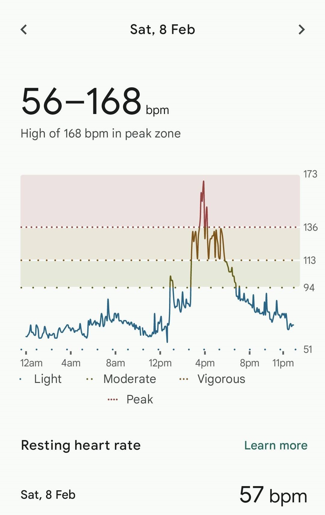
Who you gonna believe? Google……or Fitbit?(also owned by Google these days)Now that I look at it, that spike seems highly unlikely.
Well, either way, my heart rate climbed a mountain, too.
I’ve got a ton of photos, many of them stolen from the La Union Hash Facebook page, so I’ll tell the rest of the story with visual aids:
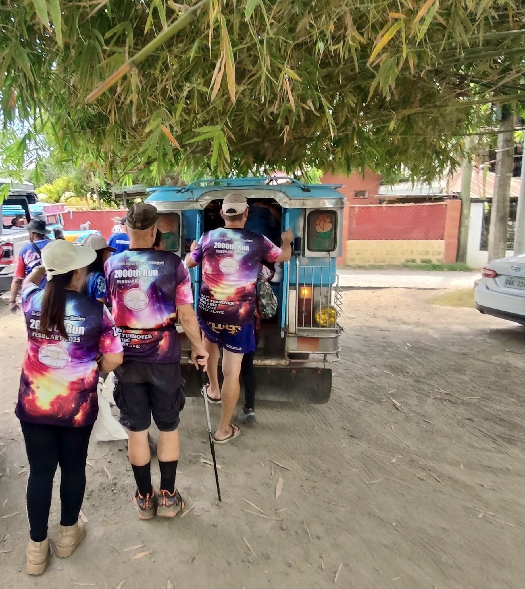
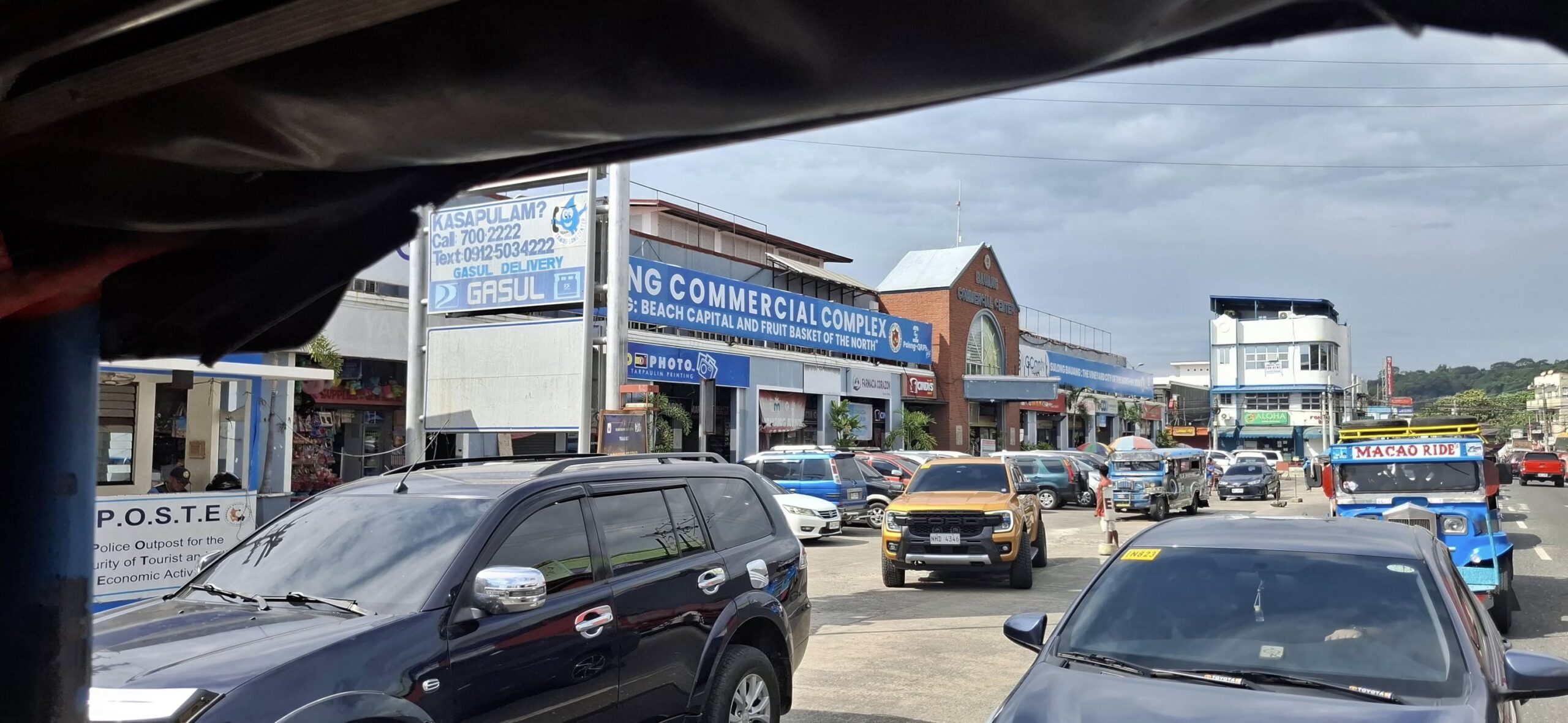
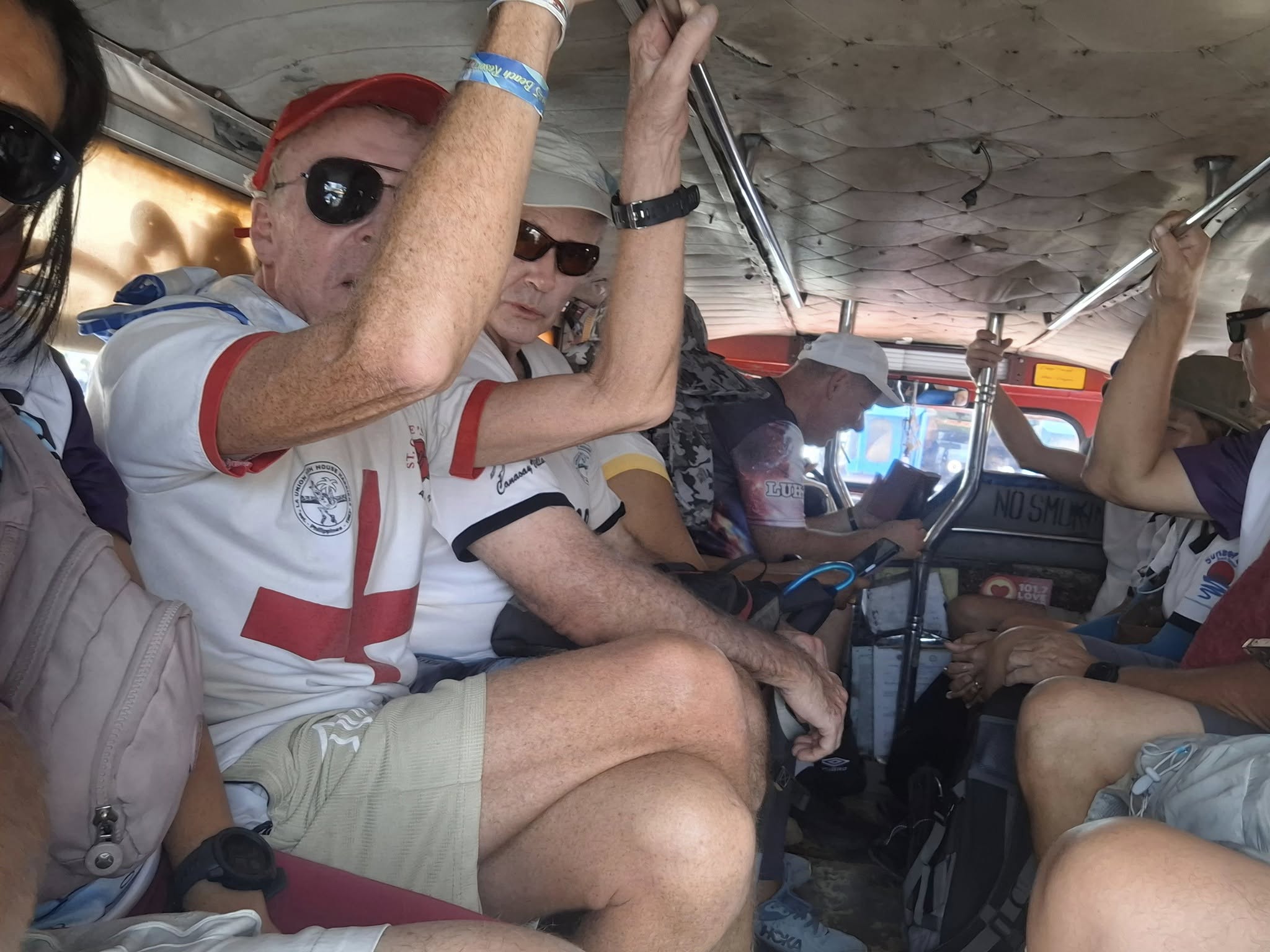
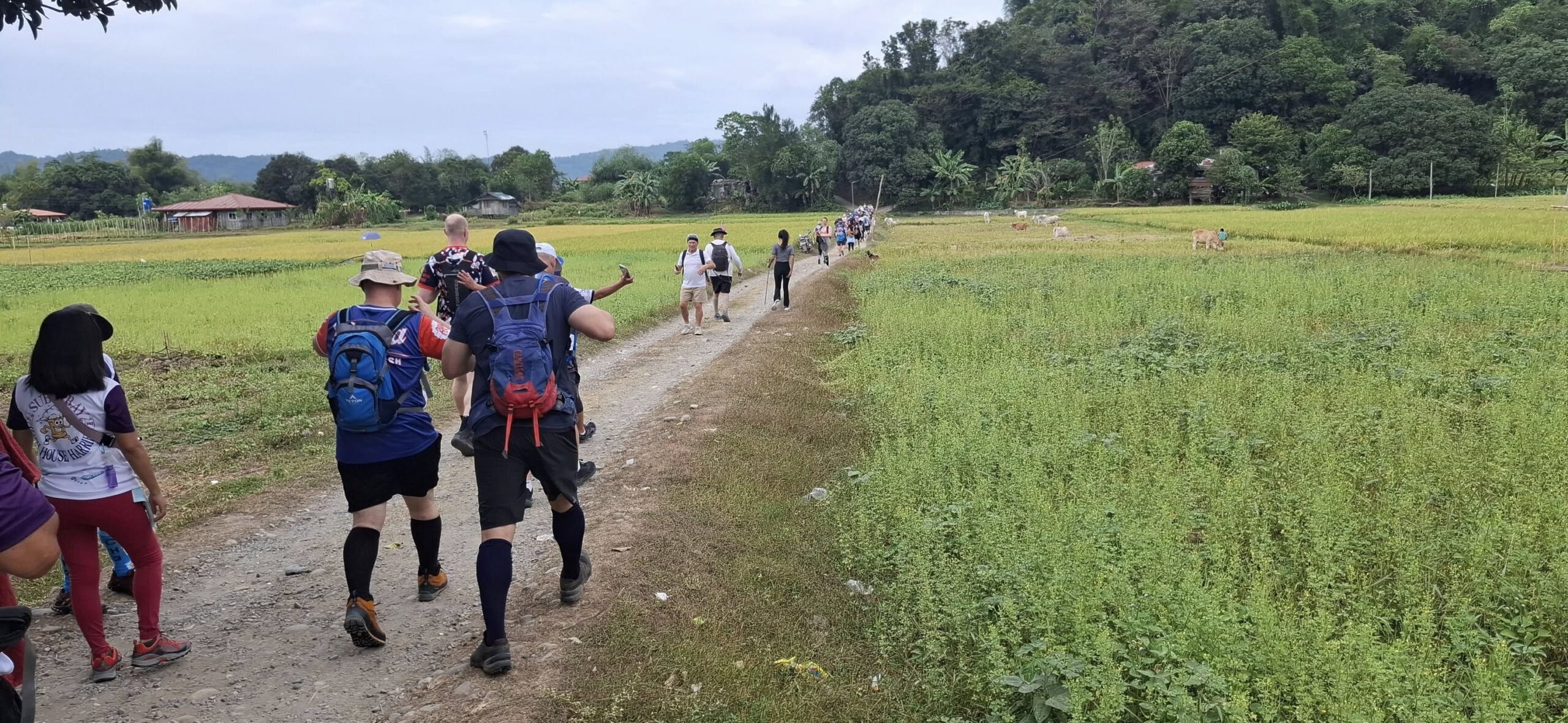
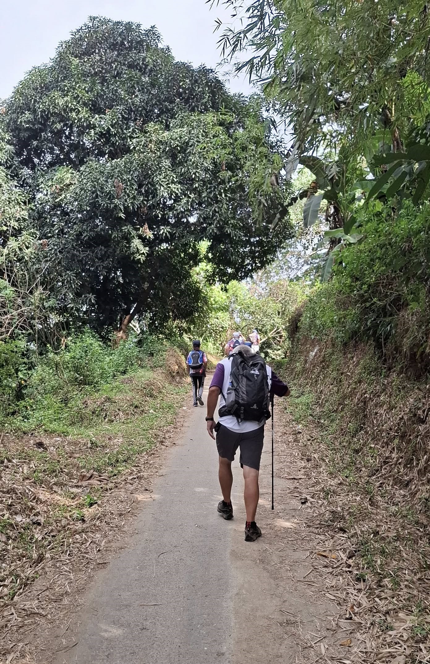
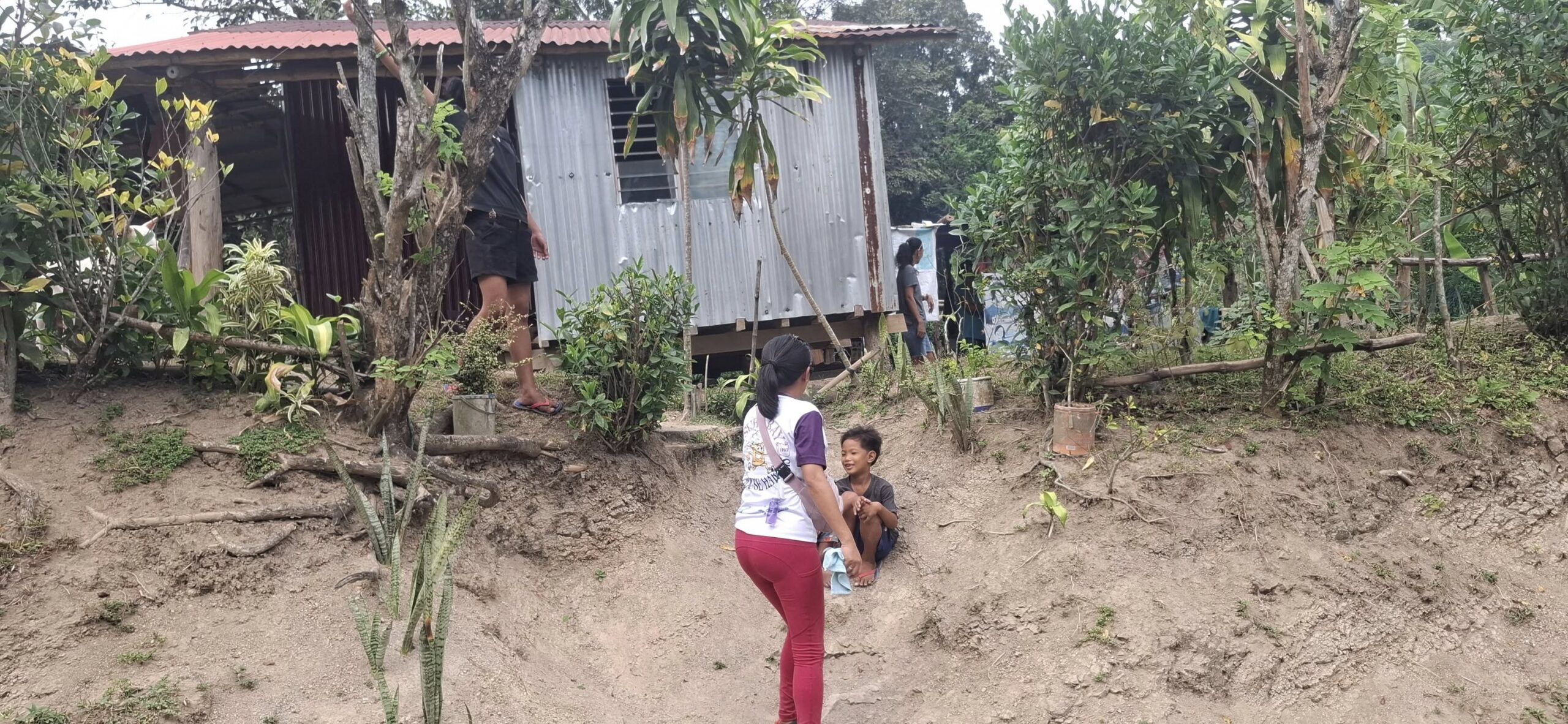
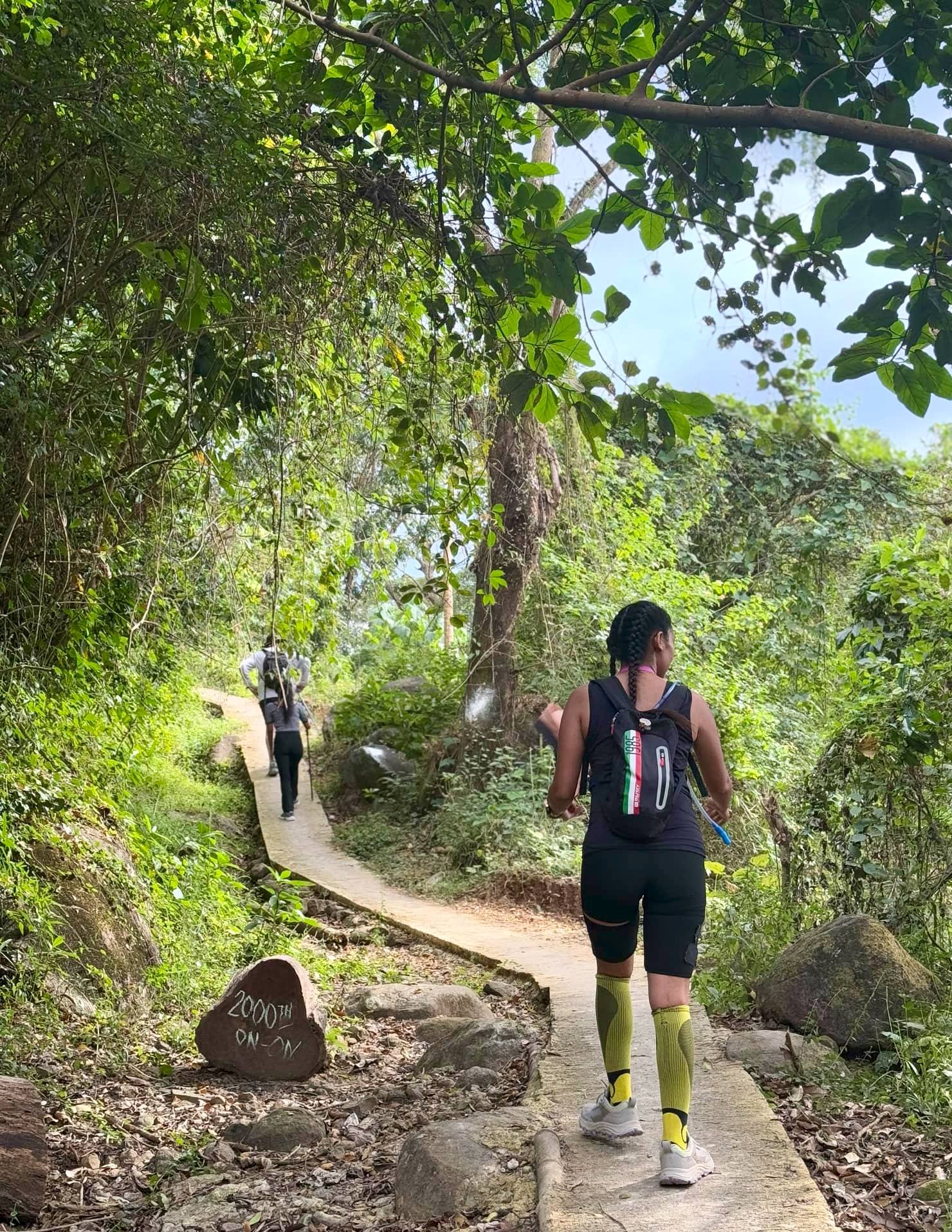
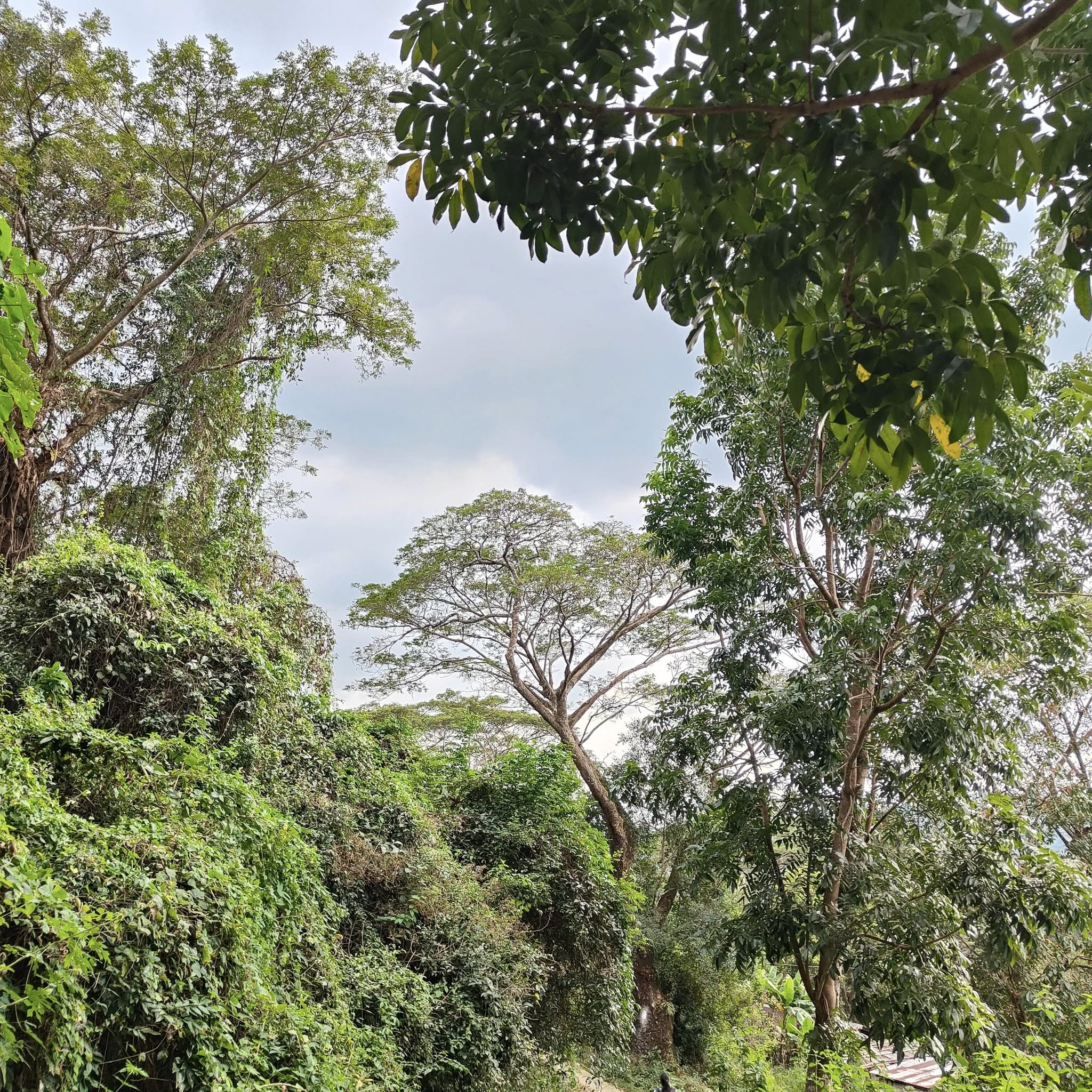
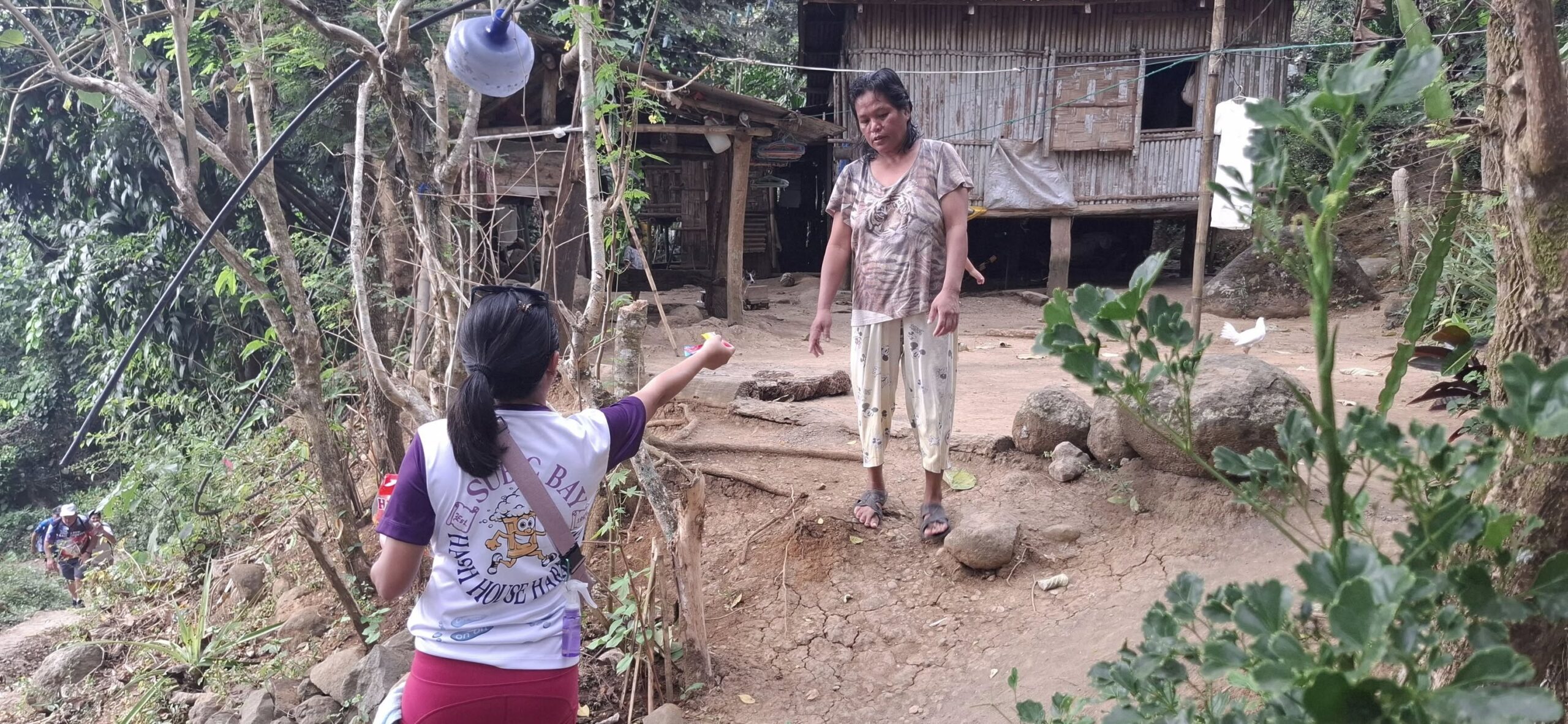
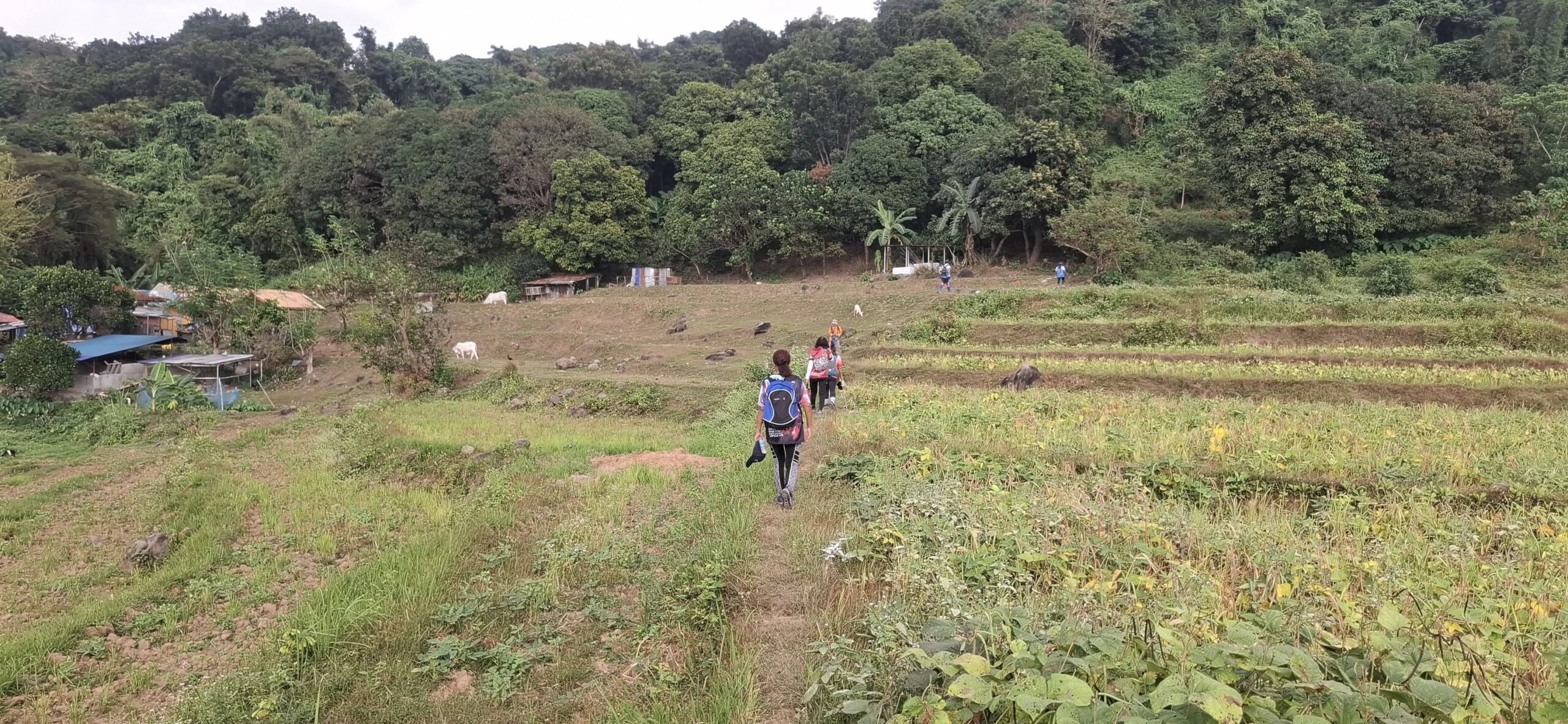
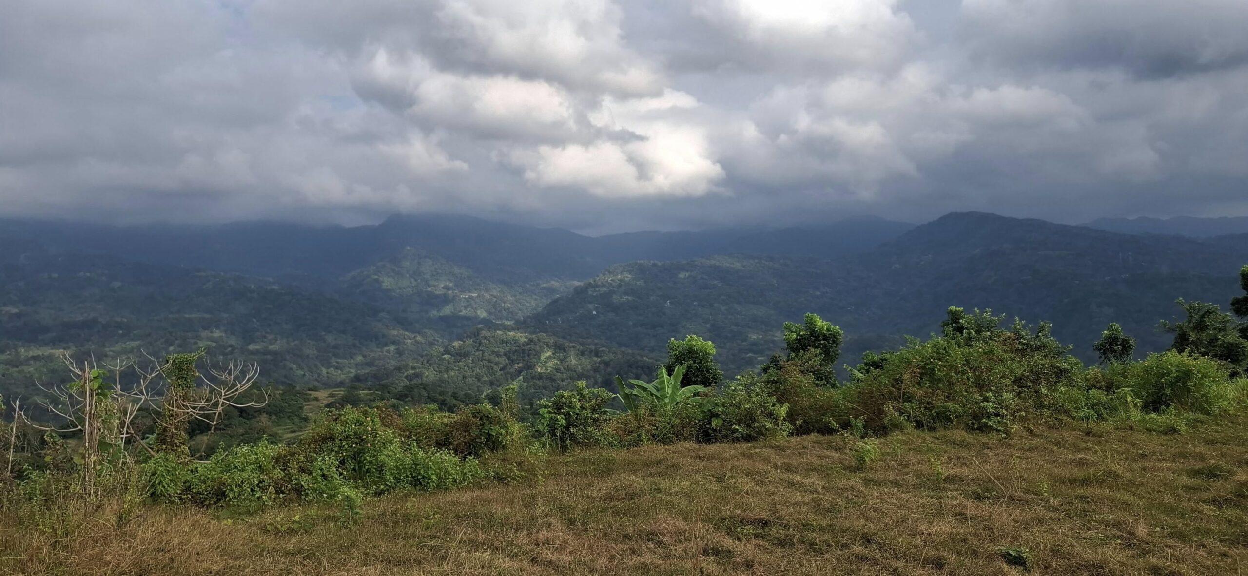
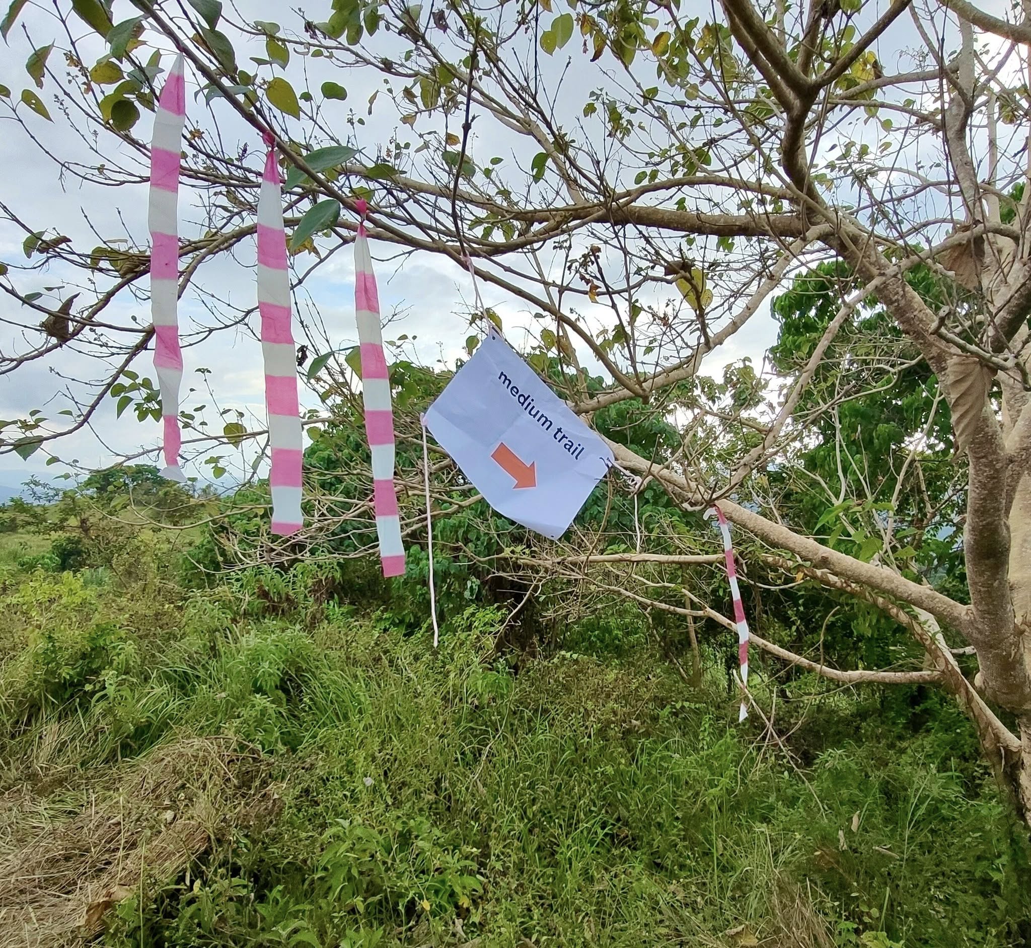
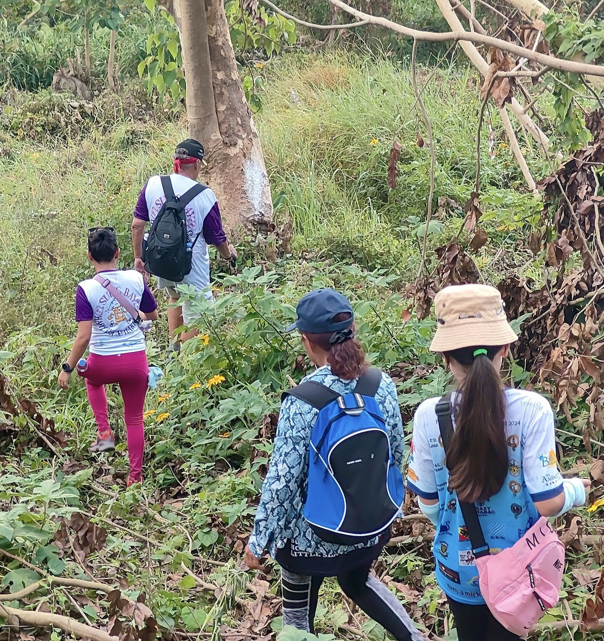
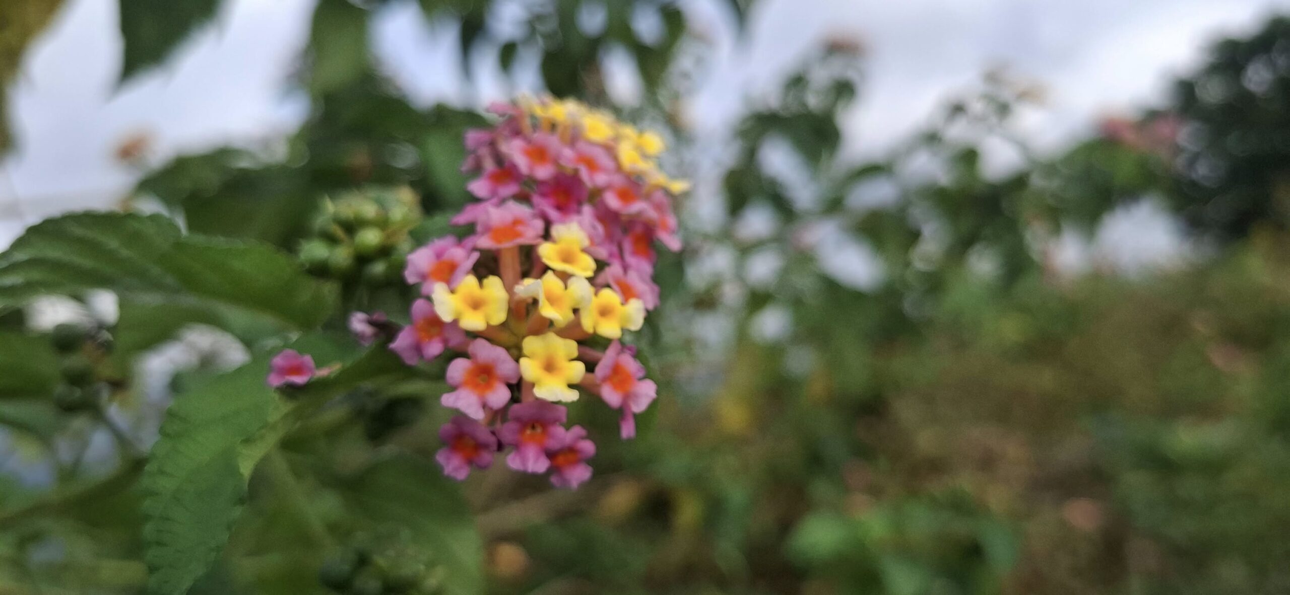
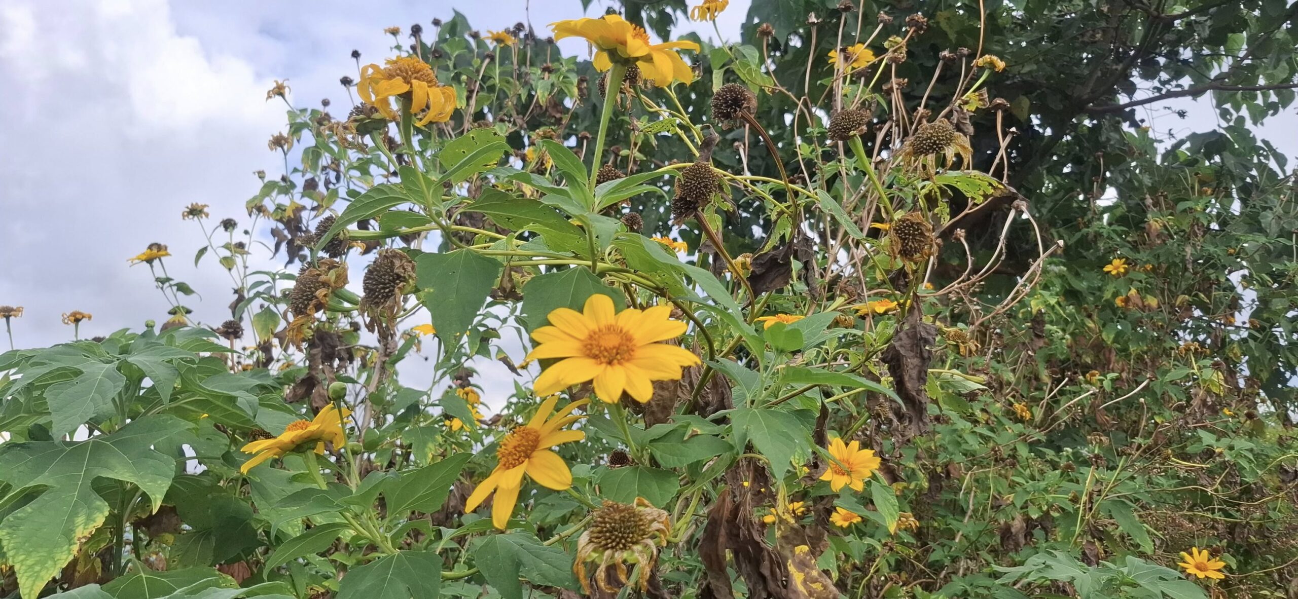
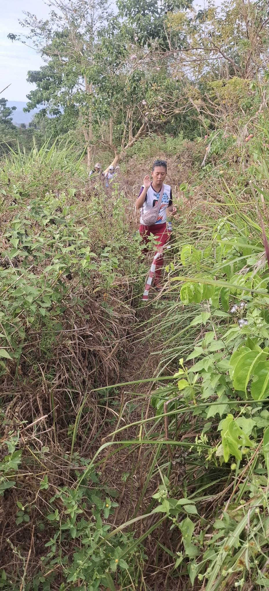
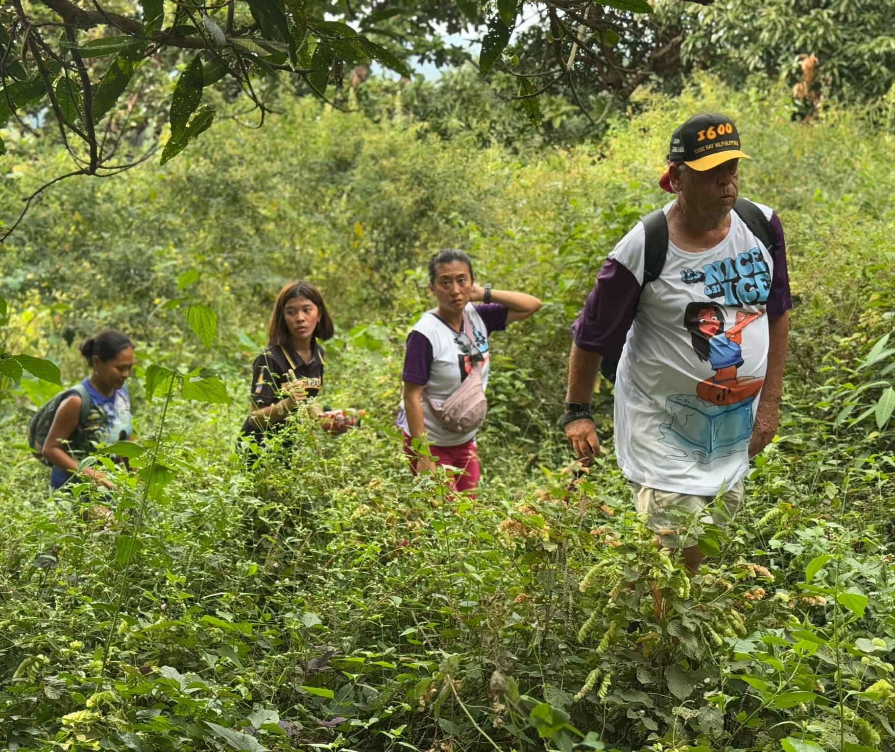
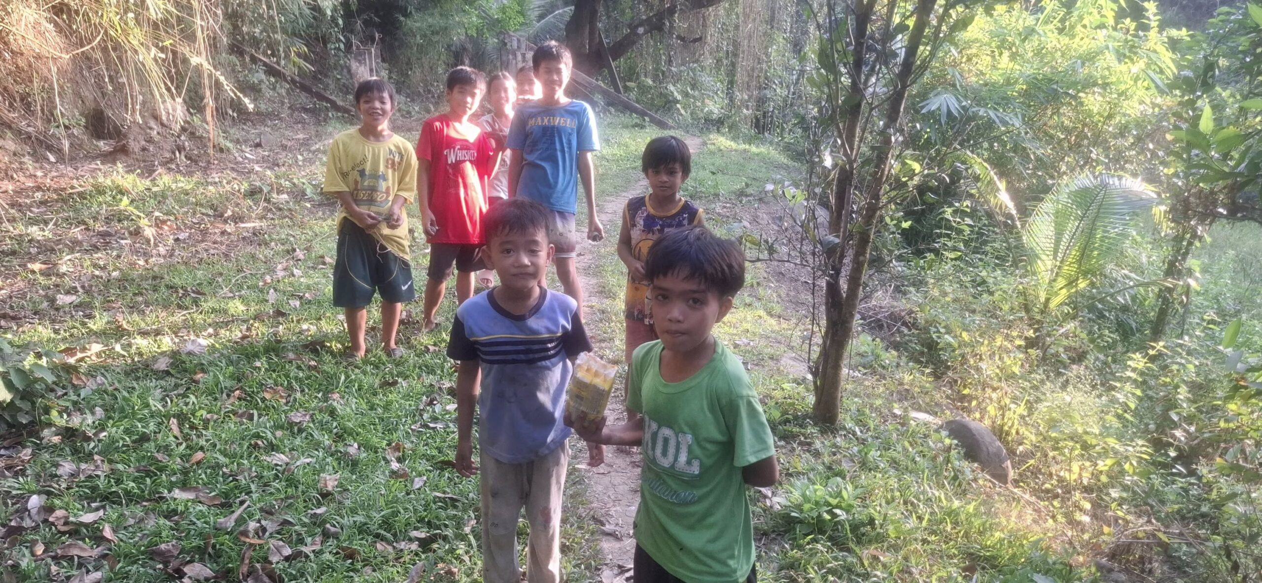
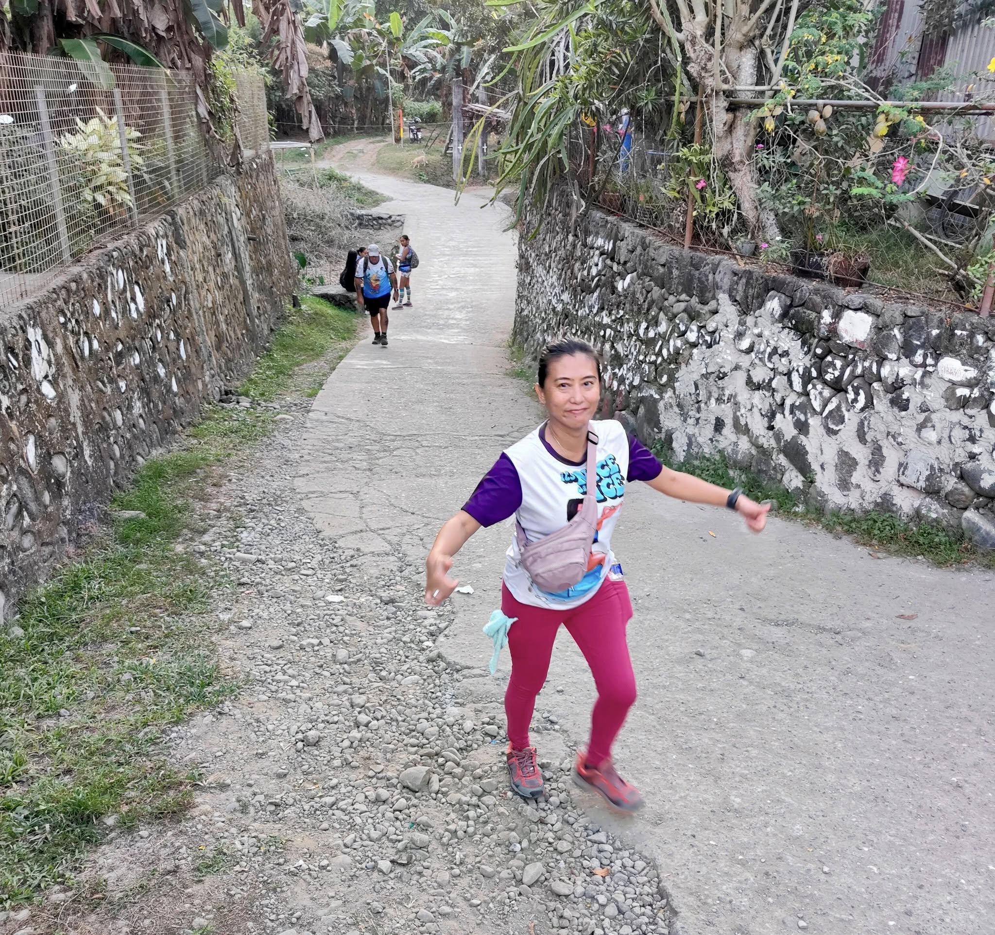
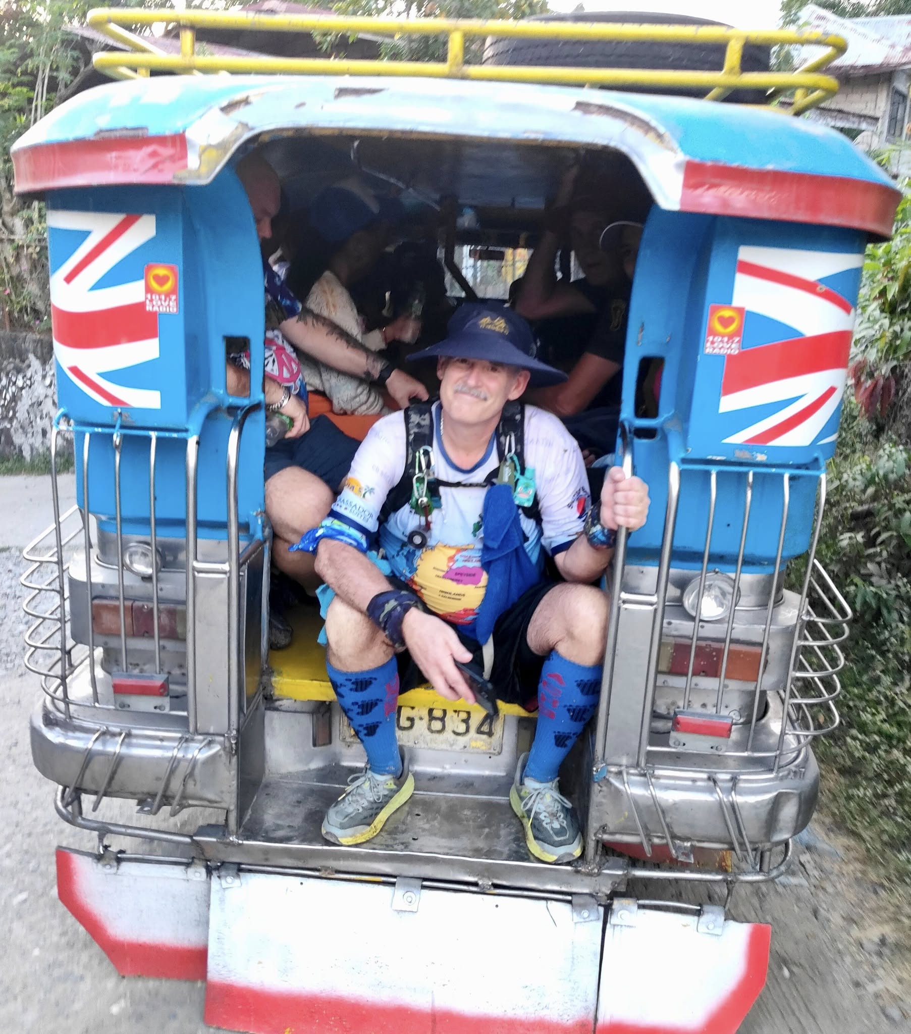
At the meet-up where the Hare informed us there were two trails: long at 9K and a mediumoption at 7K. The third option was to stay in the Jeepney, get dropped off at the end of the trail beer stop, and walk around on your own from there.Oh, and the Hare never mentioned that big-ass climb on both the nine and seven-kilometer trails.Loading up in the Jeepneys (there were four of them) for the 45-minute(!) ride to the start of the trail.A view outside the JeepneyThe view inside the JeepneyOut of the Jeepney at the trailhead. Me and Buddy Fucker discussed staying on the Jeep and doing the beer stop option, but not knowing what lay ahead, we choose to do the medium trail.And off we go! Over 100 Hashers in attendance for the LUH3 2000th RunSo, we started with a slight uphill walk that was easy enough. Except it went on and on that way for a lot longer than expected.A greeting from the Hares who were all female La Union HashersNot exactly a stroll in the park, but it was nice seeing new countrysideAnd of course, Swan sweetened the day of children we encountered along the way.These narrow concrete paths were present much of the way. There were some scattered residences up here, and the only vehicle access was on motorbikes, hence the concrete.A tree I liked“Candy for your kiddie, mama”Occasionally, the trail would flatten out and you’d think, good, the climbing is over. It wasn’t.I took this shot thinking we’d finally reached the top. We hadn’t.
Swan did a three-minute video along the way that I’ll share here because this is one of the portions of the trail it features.
Onward we go!
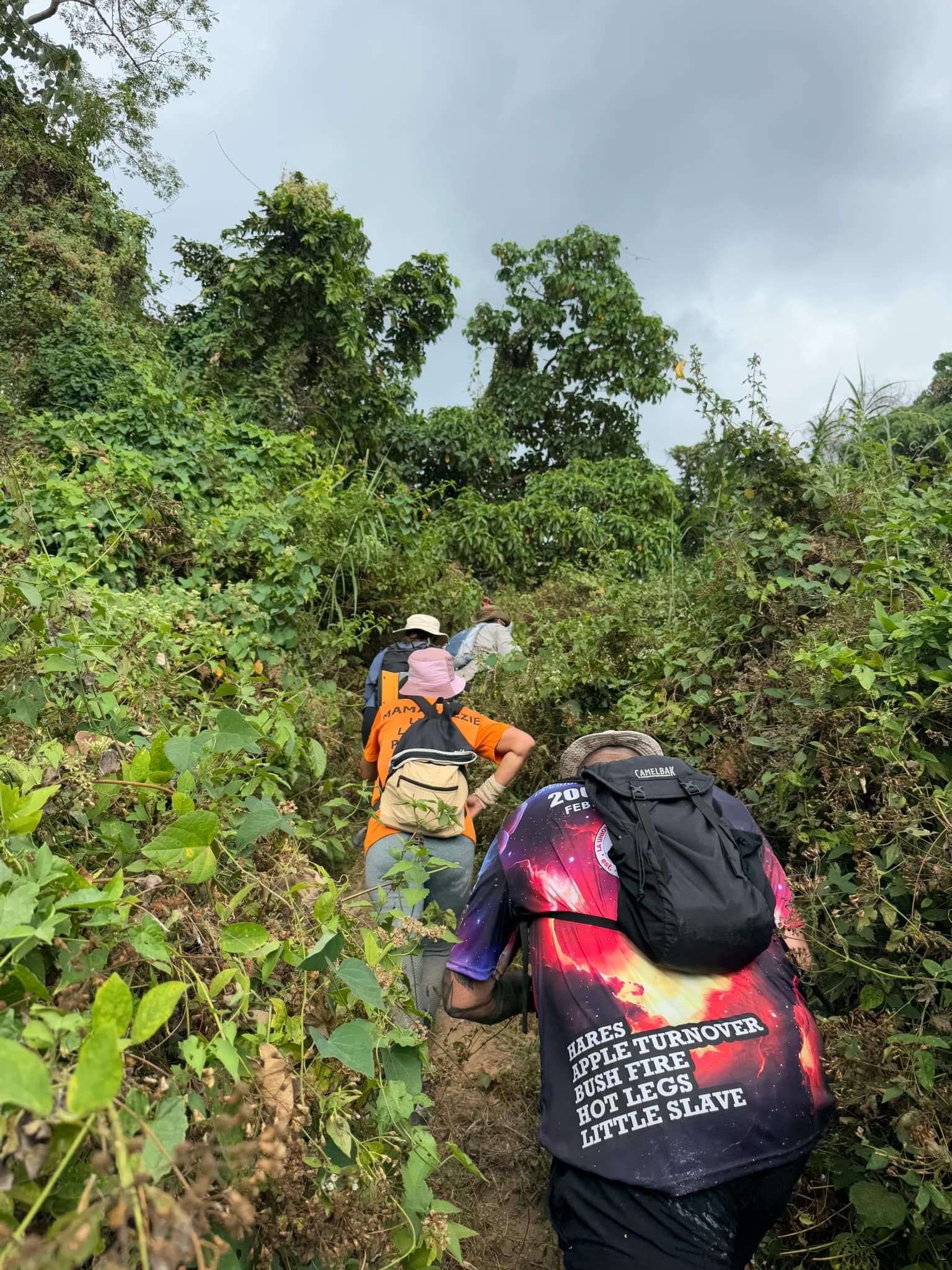
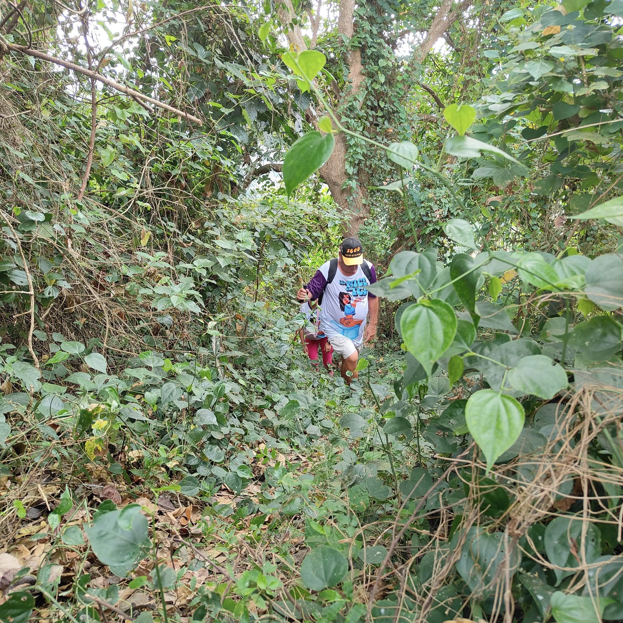
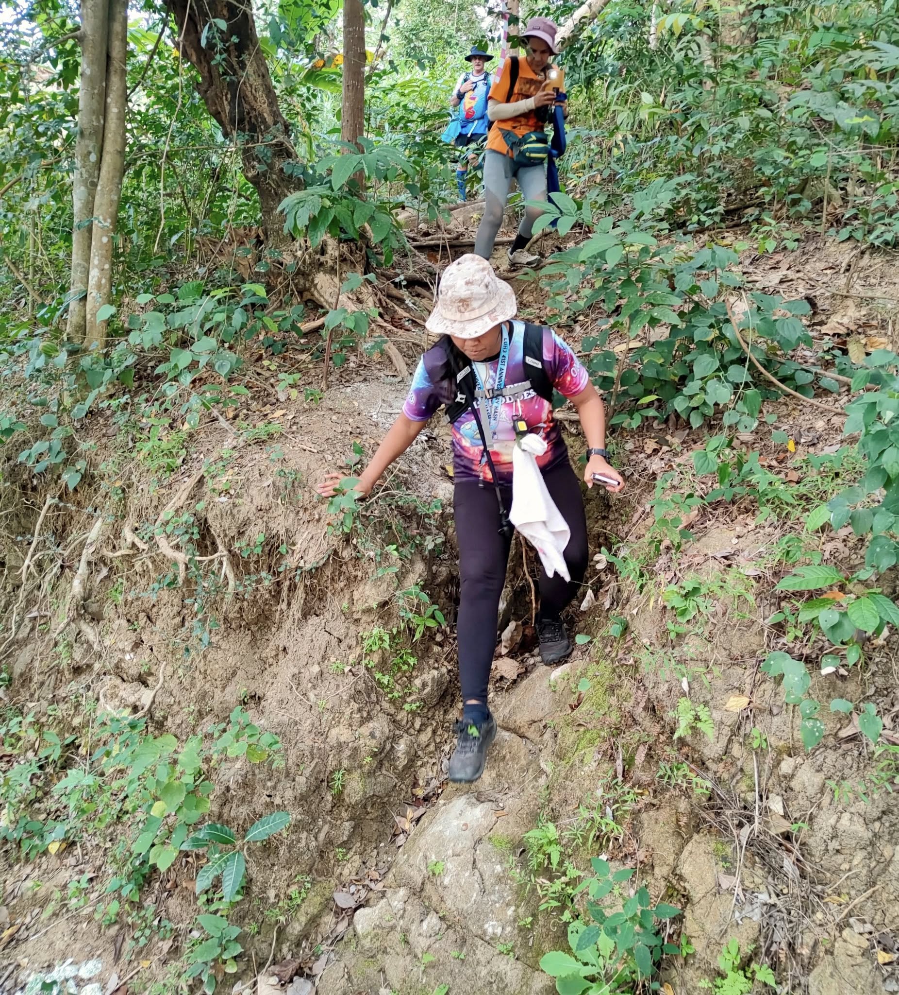
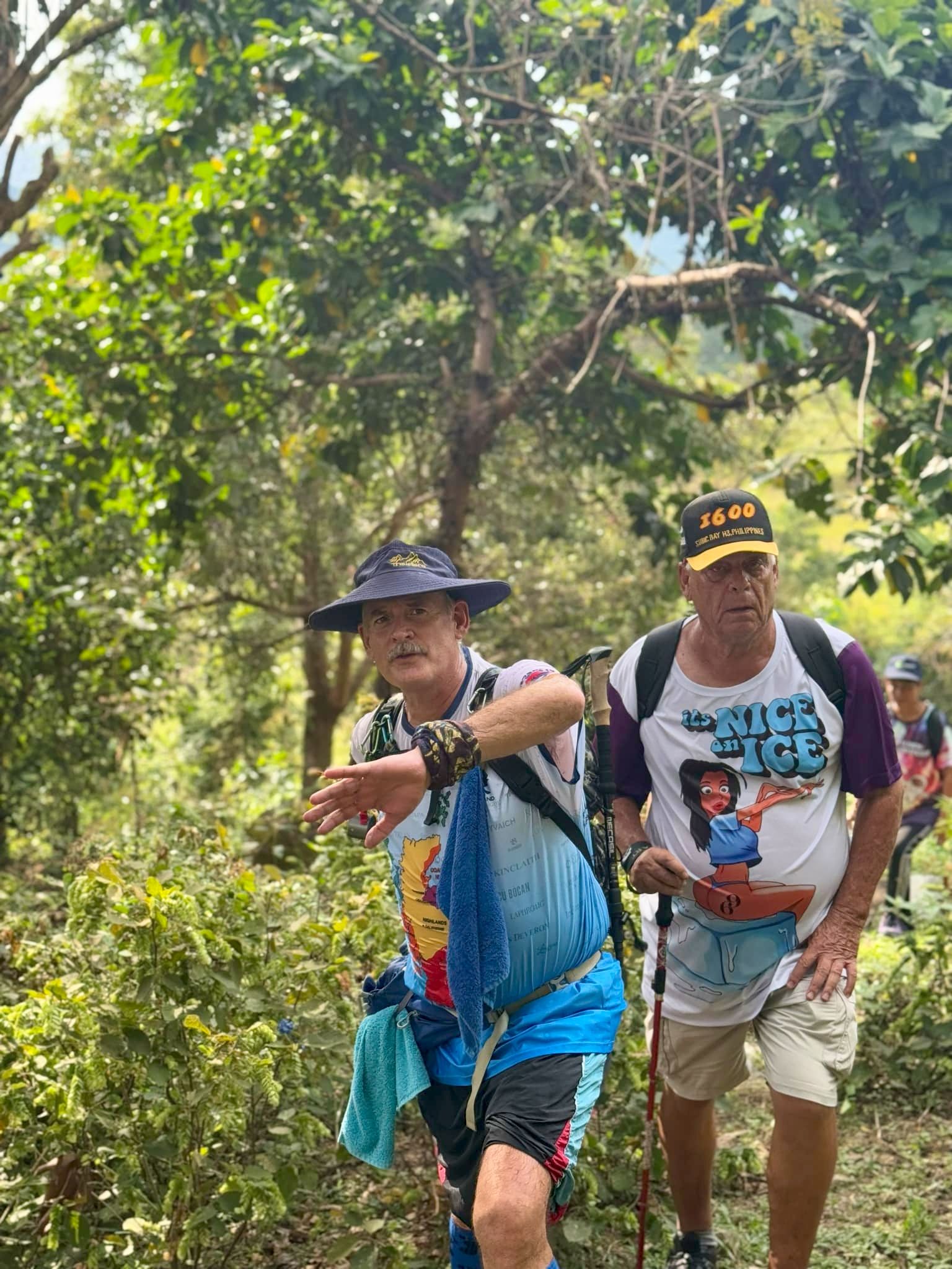
Another one of those flat spots to sucker you into thinking the worst was over. The worst was yet to come! The final push to the top was very steep and hard to keep your feet.Here we go!Getting thereTaking a breather near the top
I posted this minute long view from the top yesterday, but if you missed it, here you go again:
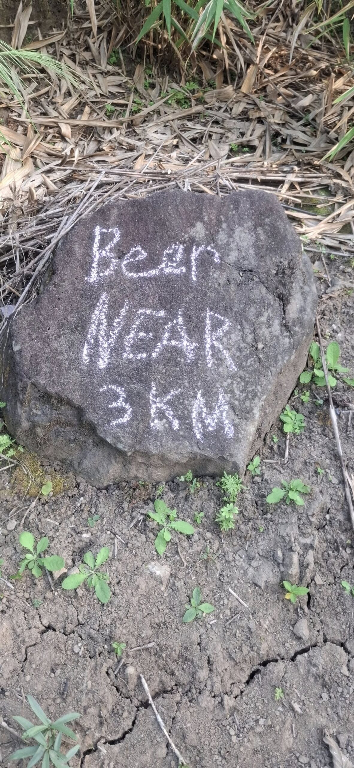
Seeing is believing
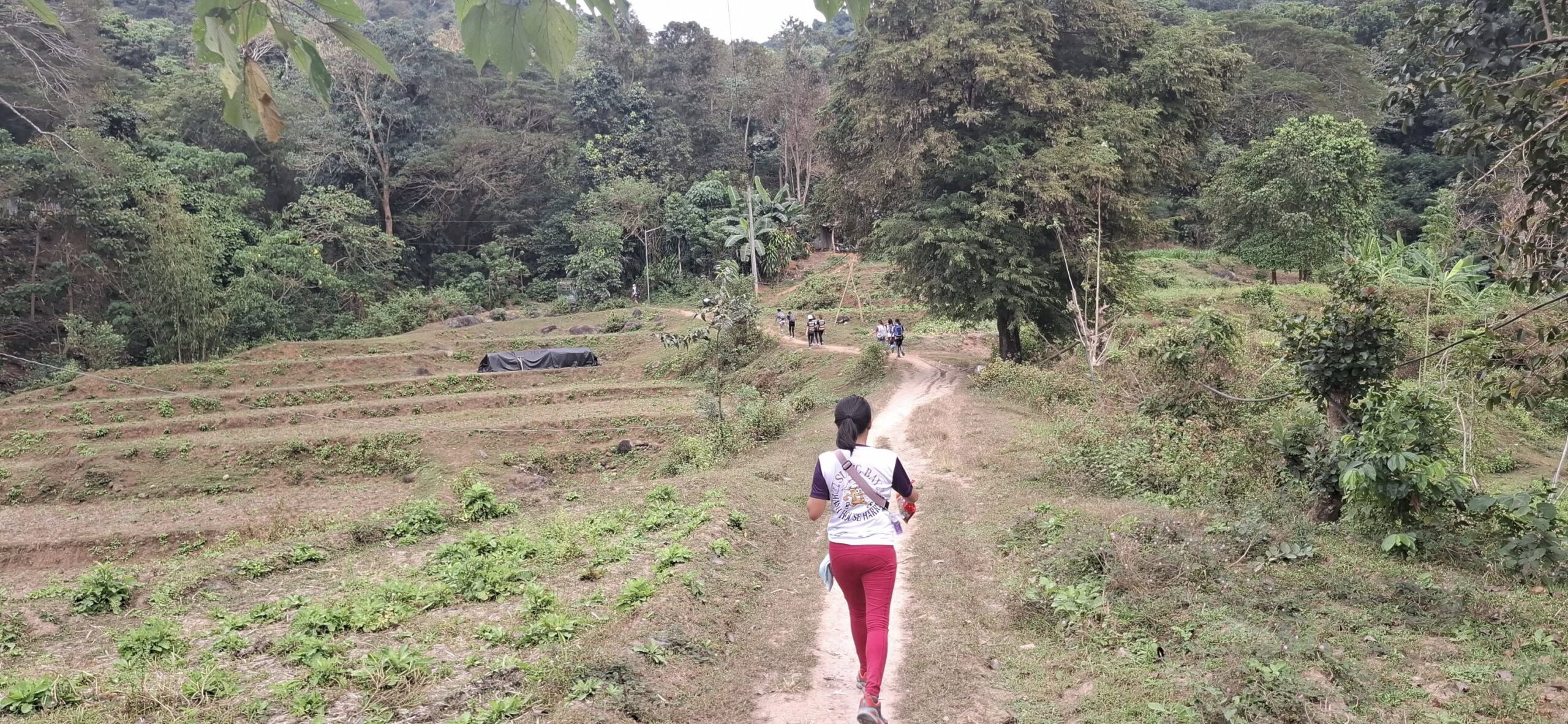
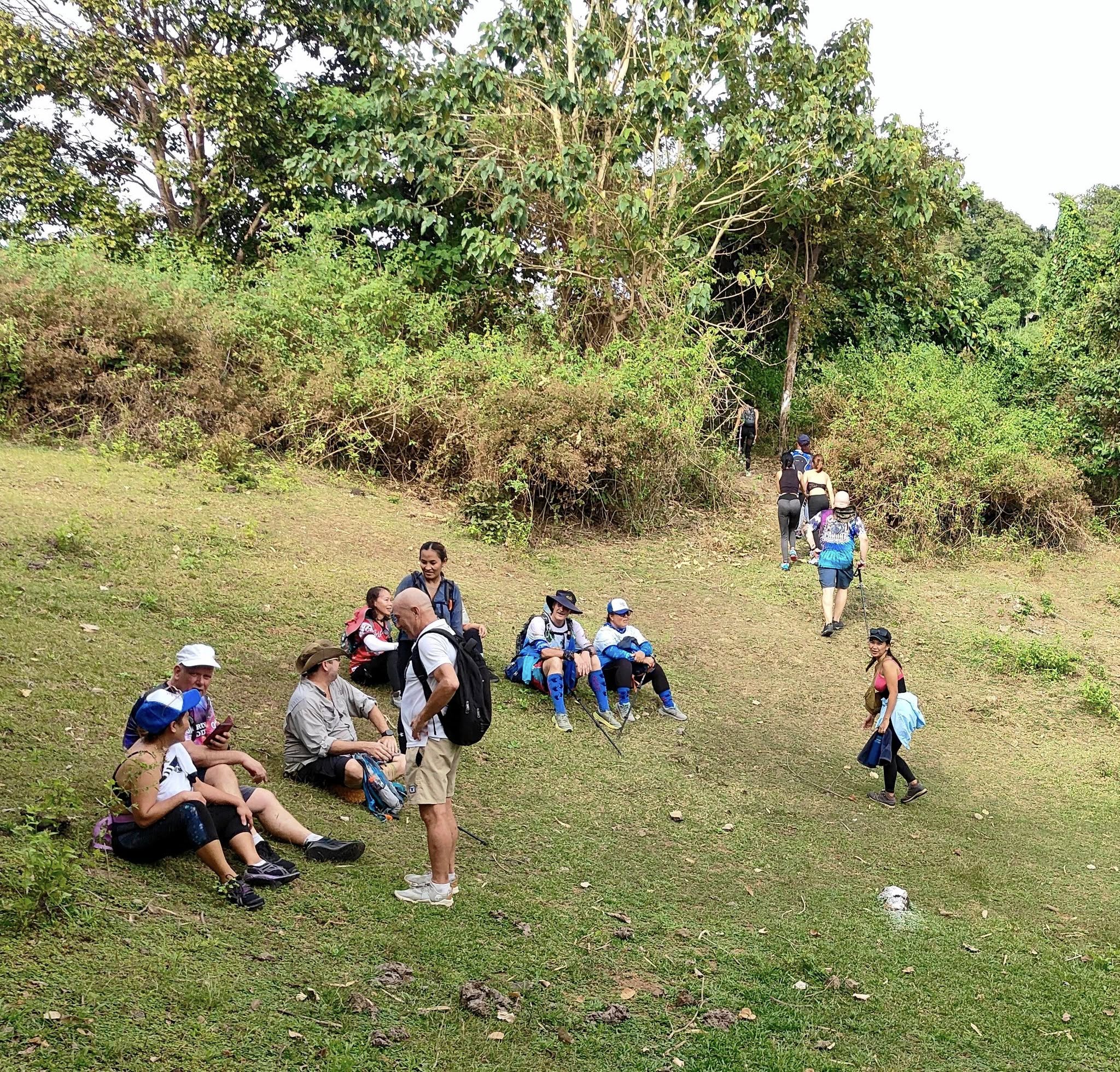
We did a ridgeline walk with the usual ups and downs that come with that, and then finally reached the split for the medium trail.
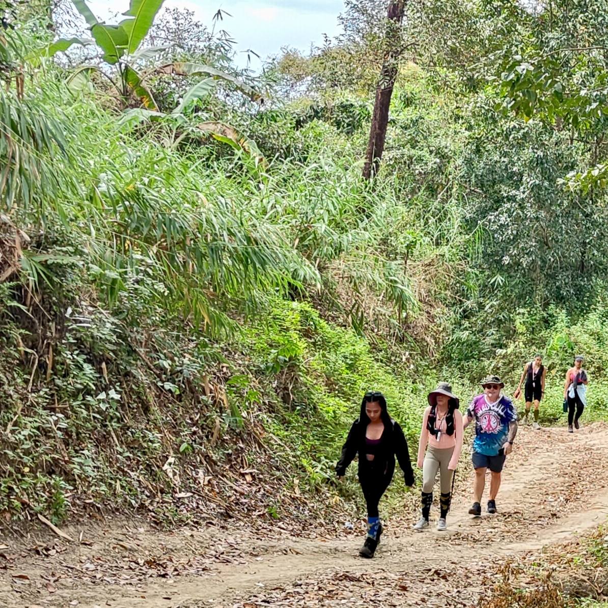
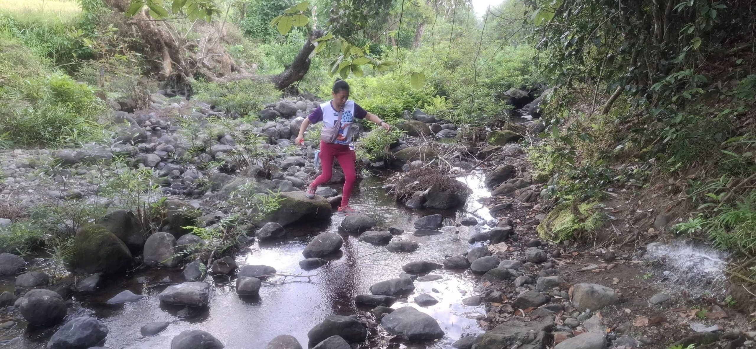
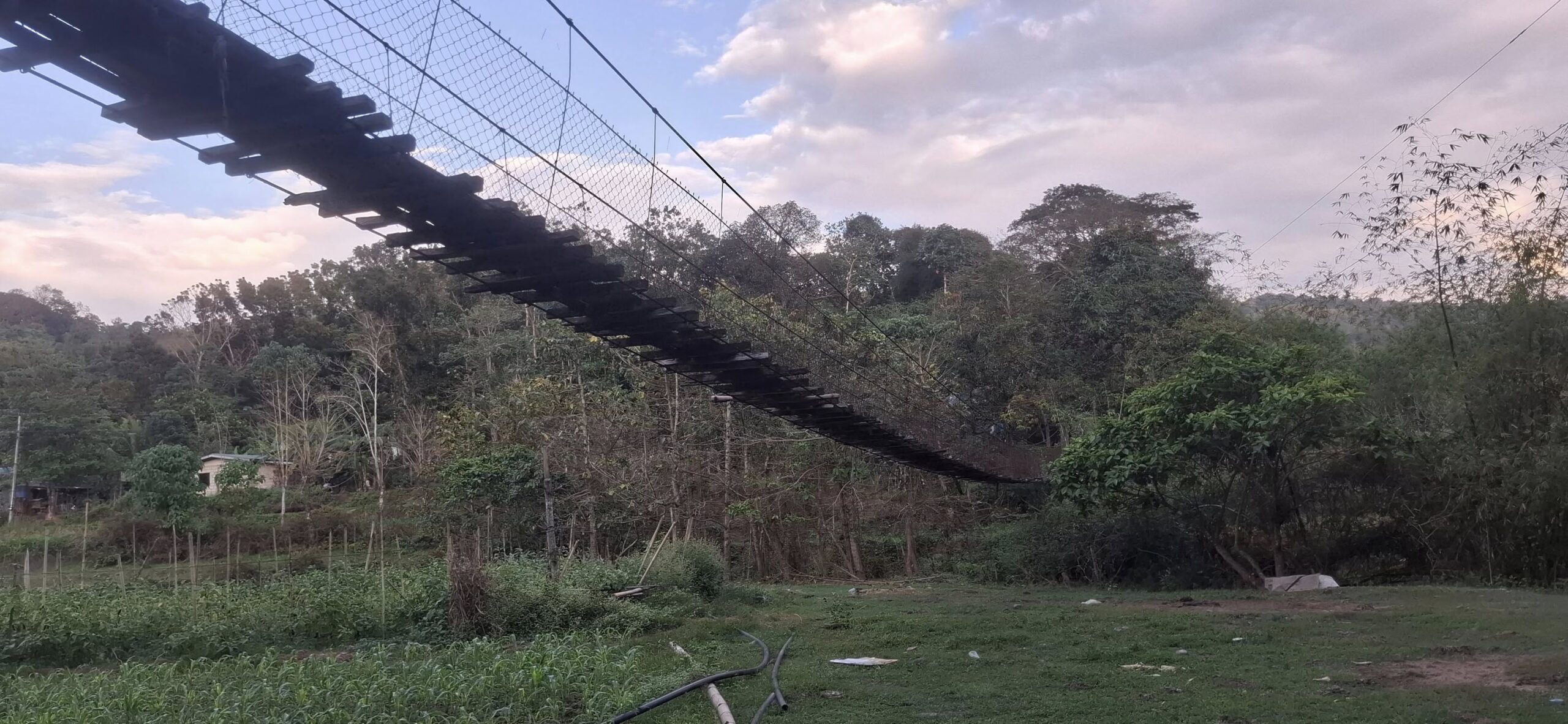
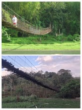
About damn time!It’s all downhill from here!Mostly.Some of nature’s beautySome moreAnd the best! Swan said she really enjoyed the trail, including the climb.I take my time going downhill too, so I let the faster folks pass me byThe downhill wasn’t as bad as I expected, but there were a couple of tricky spotsReady for this to be over and done withWTF? My tracker said I’d already done 5K. So much for the “7K” we were promised.Nothing to do be keep on keeping on!Swan made their dayWe had to cross this damn creek five or six times as we meandered our way to the finish. Luckily, we could keep our feet dry by dancing across the stones.This bridge was interesting (thankfully we didn’t have to cross it) because there was no water underneath it. I assume this area must flood during rainy season.
Pubic Head sent me a photo from 2008 when he Hashed in this area with the La Union folks.
Looks like there was water under it back then.And at long last, we arrived at the end of the trail.
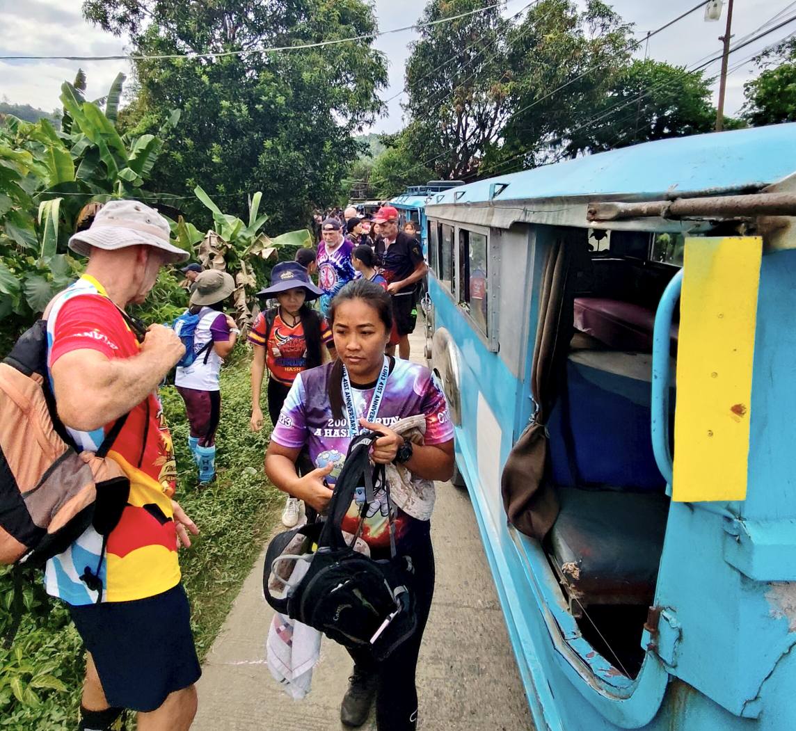
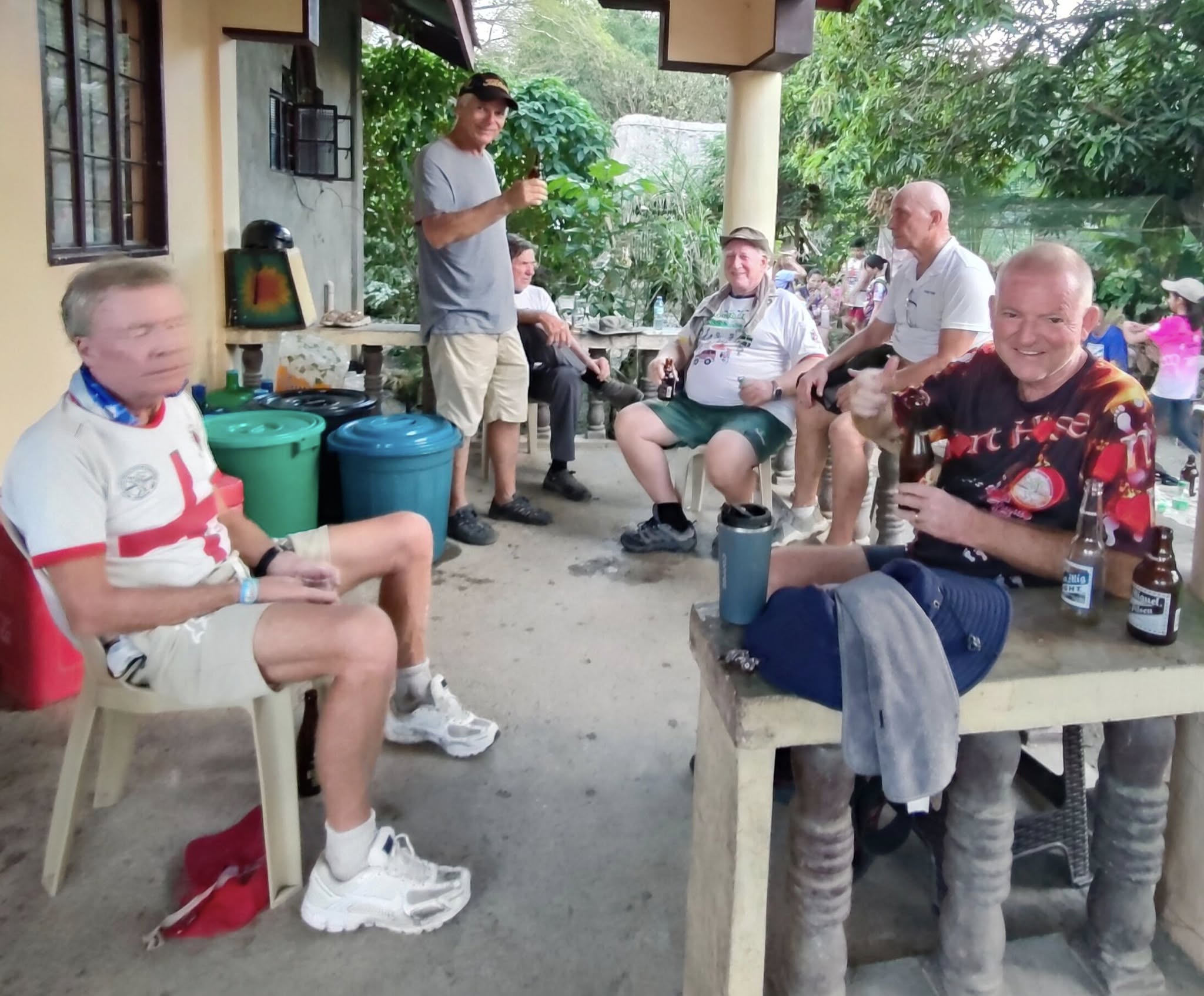
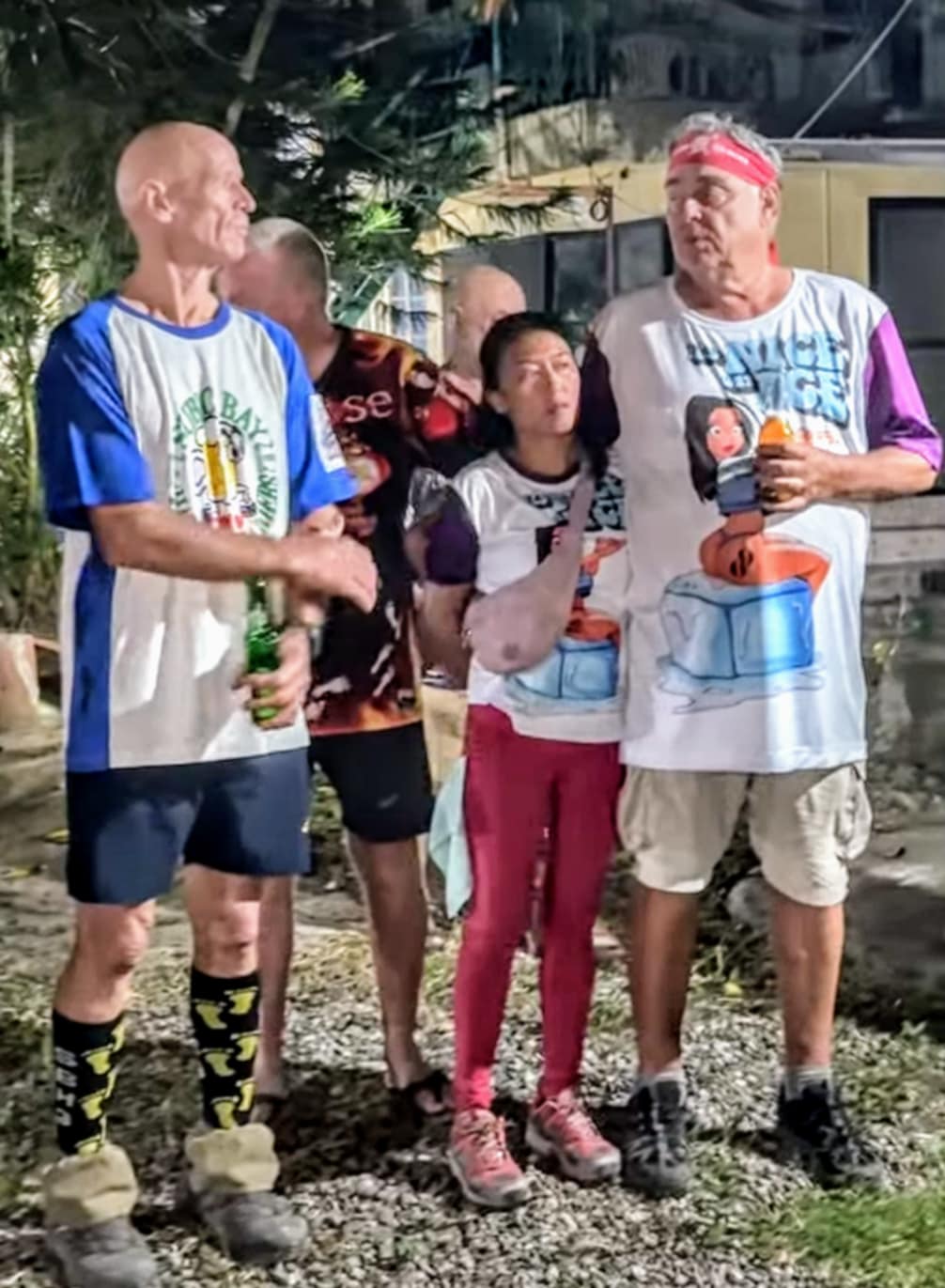
Cold beers awaited our return. The Jeepneys loaded up the folks that had arrived ahead of us, but we stuck around for the remaining stragglers who finished thirty minutes or so after we did. La Union Hash uses “sweepers” who make sure everyone makes it back before the final Jeepney departs. We took the last Jeep back for the 45-minute ride to the On-Home venue, Tropical Garden Resort in Bauang.
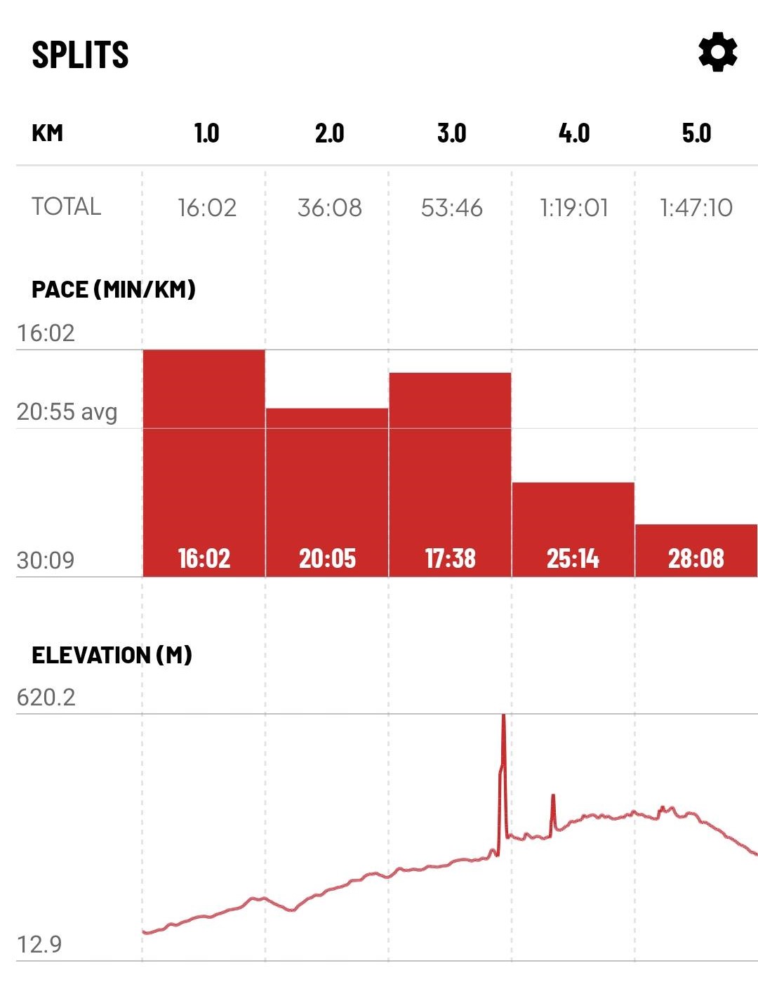
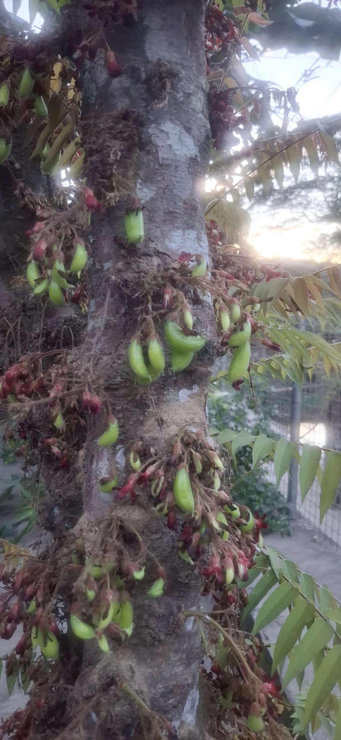
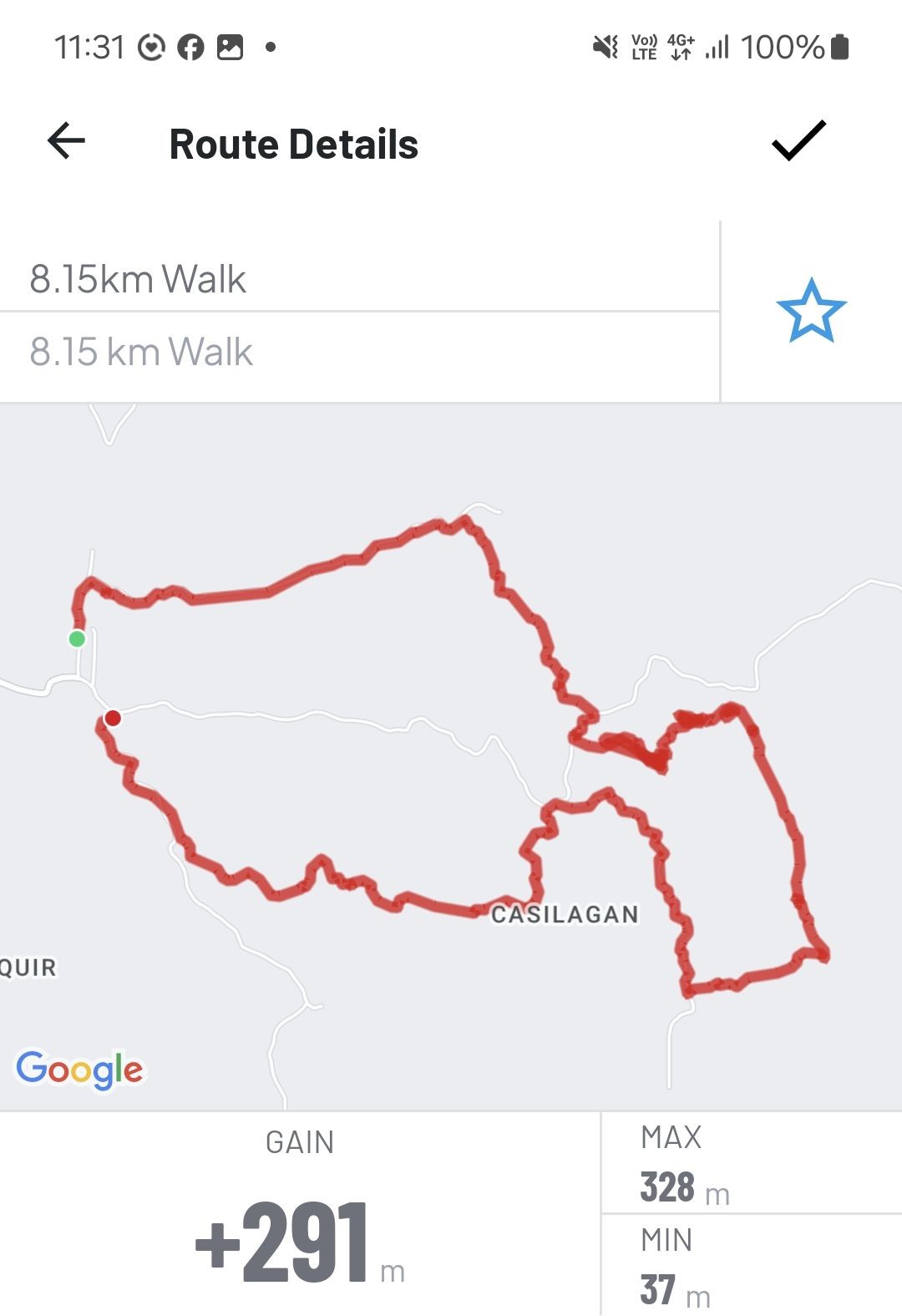
A view from the beer stopWe sat next to this tree at the beer stop and I asked Swan if the green things were edible. She said it’s called bilimbi and Filipinos eat it regularly. It’s also healthy and apparently is a natural diabetes preventative.Loaded up and ready to roll!The “7K” trail turned out to be over eight kilometers long. These stats are from the MapMyWalk app, and I think they are accurate. So, the question posed at the beginning has now been answered: I gained 291 meters in elevation during the Hash.
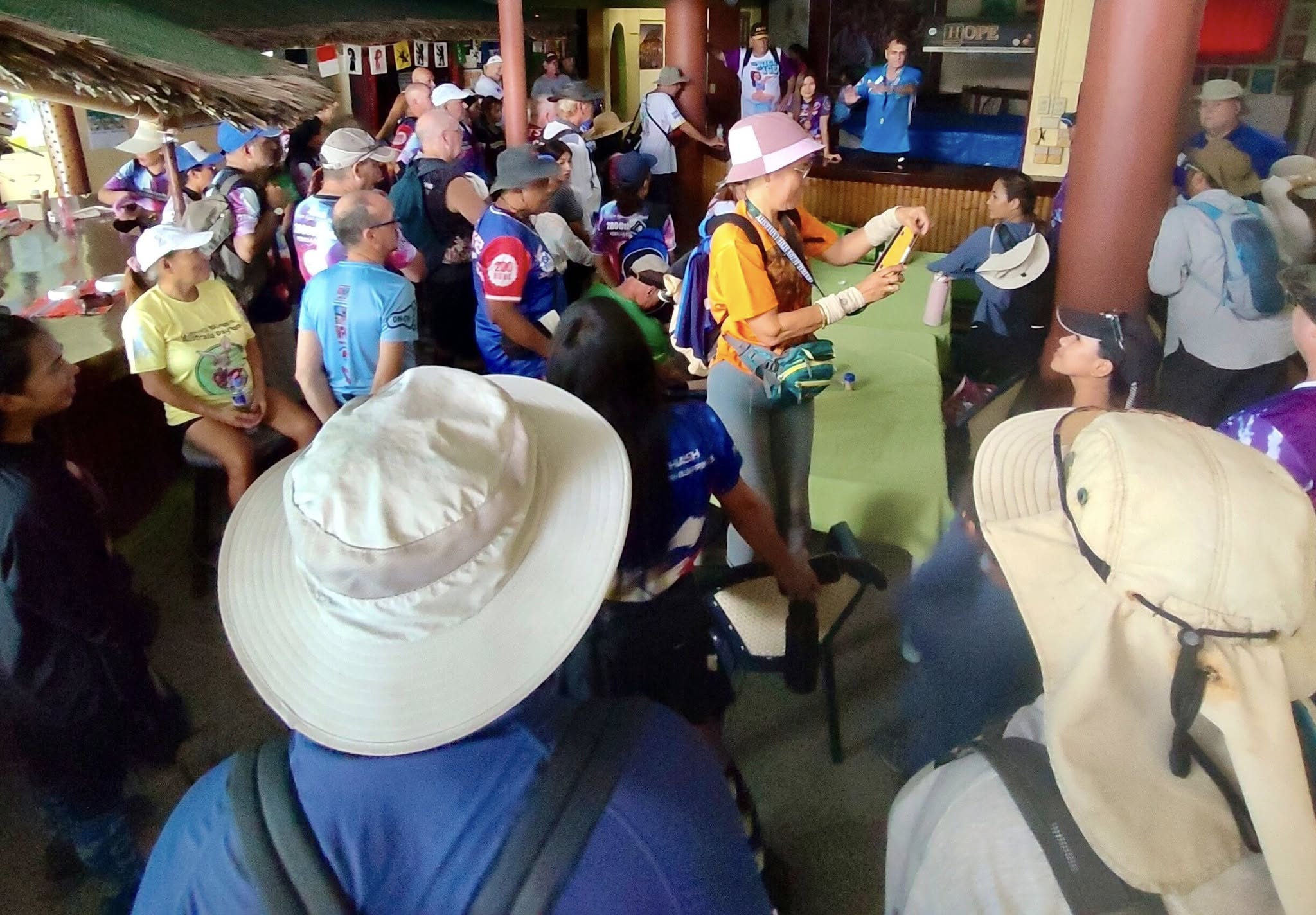
But wait, the fun wasn’t over yet. We still had a Hash Circle to attend to.
Circle up!
La Union doesn’t do the sitting on ice thing. Instead, they have a “bucket brigade” that douses those charged with an alleged violation in a cascade of water. I can report firsthand that ice is nicer than water. Swan and I got called into the circle for the “crime” of being too cuddly together.
Punishment rendered!
After the circle, we enjoyed a food buffet that came with the price of admission, then had a trike called to transport us back to our hotel. I brought a bag of cookies for the Go Resort bar staff to apologize for my drunken behavior the night before. I was feeling no pain after the Hash on Saturday but didn’t do anything stupid like the night before.
Yeah, it was a good experience, but that kind of climb is better avoided at this stage of my life/physical condition.But I have another Hash shirt in my collection as a reward for my efforts.And best of all, I’m still alive!
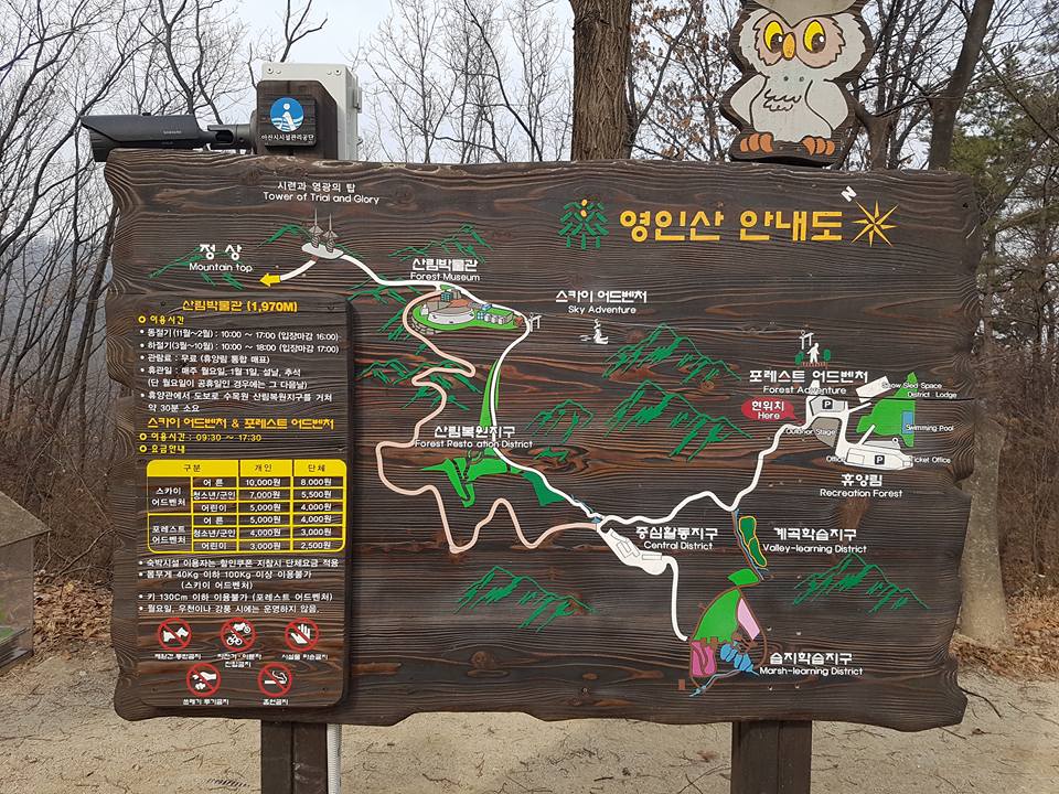
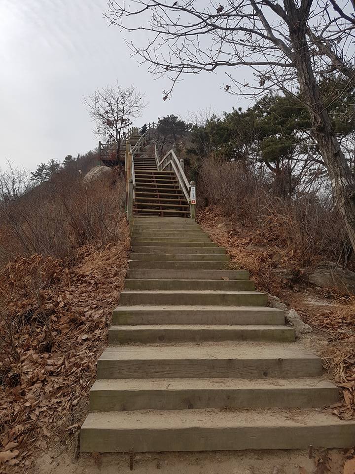
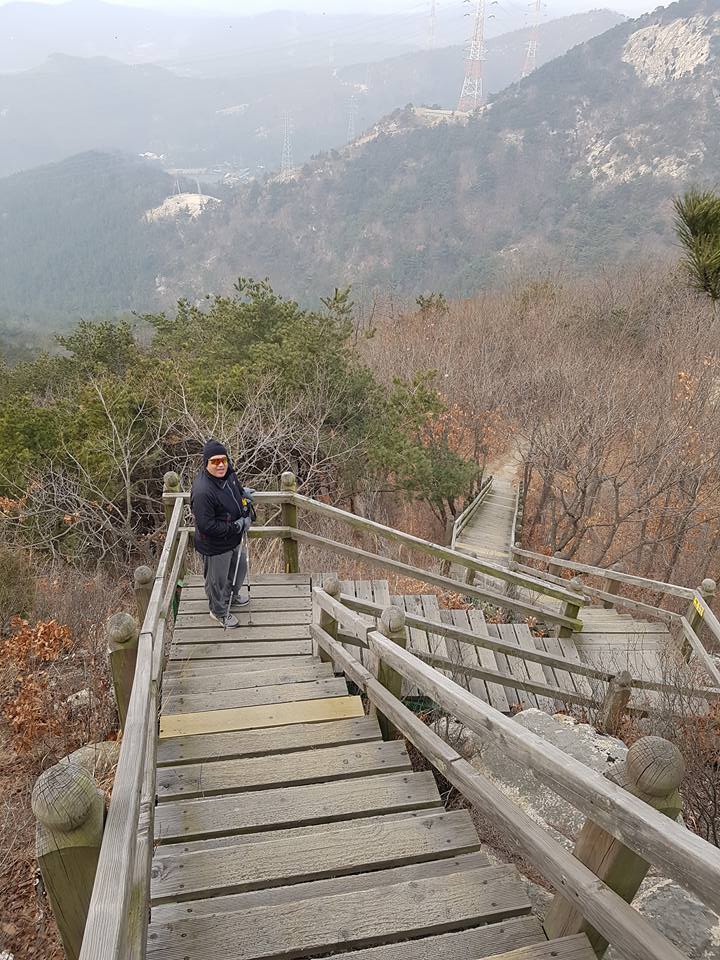
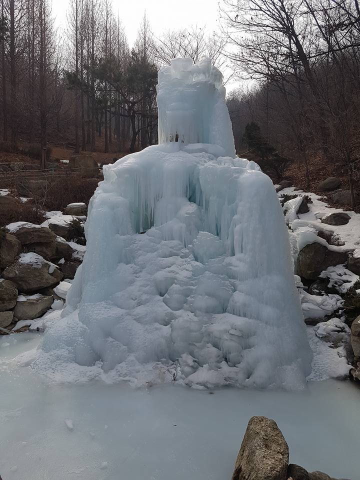
Interestingly, Facebook memories reminded me that on this day seven years ago, I climbed another mountain.
Steppin’ on upThe view from where I stoodAnd it was cold that day!
We haven’t checked in with Reekay for a while, and his latest YouTube video delves into some dating issues one might encounter with a Filipina. Honestly, this seems like common sense advice, and it’s universal in all relationships, not just in the Philippines.
Some smiles before I go:
I hope it wasn’t a pubic hair.Shit happensAnother reason to stick with American food!
Okay, it is Monday afternoon and that means I have yet another Hash to attend. Even though Leech my Nuggets is a Hare known for his challenging trails, I don’t expect he can top Saturday’s La Union adventure. Only one way to find out!
4 thoughts on “Getting high in La Union”
Sorry to hear it was such a difficult path.
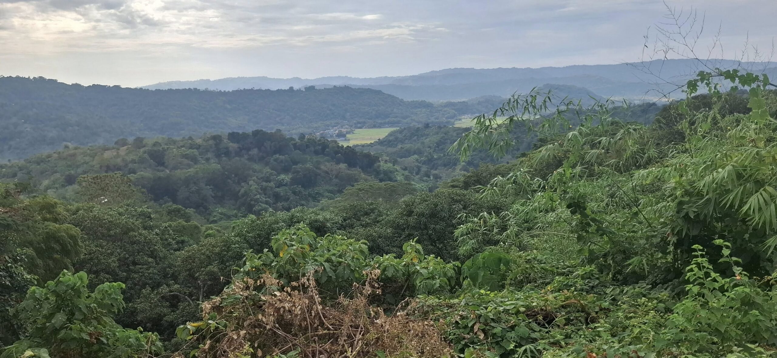
A tree I liked
Very nice! Looks almost like an AI picture. Surreal.
Occasionally, the trail would flatten out and you’d think, good, the climbing is over. It wasn’t.
As a veteran walker, you know as well as I do never to get your hopes up when you’re on unfamiliar ground.
re: Swan’s video
I see evidence of editing! Maybe she can teach you.
It’s also healthy and apparently is a natural diabetes preventative.
“So I snatched a few of the ripe ones to take home, prep, and eat. And lo and behold, my blood sugar is down today!”
The “7K” trail turned out to be over eight kilometers long. These stats are from the MapMyWalk app, and I think they are accurate. So, the question posed at the beginning has now been answered: I gained 291 meters in elevation during the Hash.
My opinion: you can never tell how accurate any of these apps and devices are. I’m beginning to think they’re all just randomly calibrated (if “calibrated” is even the right word in this context), and we’re left to figure things out for ourselves. About the only thing I trust is the step count on my pedometer since I can physically count my steps while also watching the pedometer’s numbers. So I know my pedometer is accurate to within a percent or two. For steps, anyway. My pedometer app (Samsung Health) doesn’t measure altitude, and I deleted the MapMyWalk app; the other stuff the pedometer measures, like speed and distance, are all untrustworthy. Best to just go by number of steps. At least on flat ground. Stride length and step rate all change when things get hilly. I use Naver Map to calculate distances on certain hills, but even Map is dicey.
I brought a bag of cookies for the Go Resort bar staff to apologize for my drunken behavior the night before. I was feeling no pain after the Hash on Saturday but didn’t do anything stupid like the night before.
If you go at a rate of 1-2 drunken incidents a month (memory loss, bad behavior, need for apologies), I’d say there’s a problem. You gotta stop rationalizing. Or one day, someone special is not gonna take it anymore. She’s been remarkably tolerant thus far. I hope you don’t take that for granted.
And it was cold that day!
Looks like an ice dragon rearing its head.
For what it’s worth, I hope the Monday Hash went well.
Re: trail apps. I have been happy with All Trails to track my walks. I think it is pretty accurate on both distance and elevation.
I also use Far Out for specific trails and the two match up well.
Thanks for the tips, Brian. I’ll check them out.
Kev, I should know better by now, but hope springs eternal when you are clawing your way uphill.
Swan says she just hits the pause button on her phone and restarts the video when she’s ready. It doesn’t work like that on my phone; once it shuts down for inactivity, you must start a new video.
Yeah, the apps all vary in their measurements. Having several would perhaps allow you to get an average.
Swan wasn’t pleased with the drunken me, so I will endeavor not to show her that side of me in the future. I don’t like being drunk-drunk, either.
Monday’s Hash trail turned out to be a bitch, too. I’ll post about that tomorrow.


Sorry to hear it was such a difficult path.
A tree I liked
Very nice! Looks almost like an AI picture. Surreal.
Occasionally, the trail would flatten out and you’d think, good, the climbing is over. It wasn’t.
As a veteran walker, you know as well as I do never to get your hopes up when you’re on unfamiliar ground.
re: Swan’s video
I see evidence of editing! Maybe she can teach you.
It’s also healthy and apparently is a natural diabetes preventative.
“So I snatched a few of the ripe ones to take home, prep, and eat. And lo and behold, my blood sugar is down today!”
The “7K” trail turned out to be over eight kilometers long. These stats are from the MapMyWalk app, and I think they are accurate. So, the question posed at the beginning has now been answered: I gained 291 meters in elevation during the Hash.
My opinion: you can never tell how accurate any of these apps and devices are. I’m beginning to think they’re all just randomly calibrated (if “calibrated” is even the right word in this context), and we’re left to figure things out for ourselves. About the only thing I trust is the step count on my pedometer since I can physically count my steps while also watching the pedometer’s numbers. So I know my pedometer is accurate to within a percent or two. For steps, anyway. My pedometer app (Samsung Health) doesn’t measure altitude, and I deleted the MapMyWalk app; the other stuff the pedometer measures, like speed and distance, are all untrustworthy. Best to just go by number of steps. At least on flat ground. Stride length and step rate all change when things get hilly. I use Naver Map to calculate distances on certain hills, but even Map is dicey.
I brought a bag of cookies for the Go Resort bar staff to apologize for my drunken behavior the night before. I was feeling no pain after the Hash on Saturday but didn’t do anything stupid like the night before.
If you go at a rate of 1-2 drunken incidents a month (memory loss, bad behavior, need for apologies), I’d say there’s a problem. You gotta stop rationalizing. Or one day, someone special is not gonna take it anymore. She’s been remarkably tolerant thus far. I hope you don’t take that for granted.
And it was cold that day!
Looks like an ice dragon rearing its head.
For what it’s worth, I hope the Monday Hash went well.
Re: trail apps. I have been happy with All Trails to track my walks. I think it is pretty accurate on both distance and elevation.
I also use Far Out for specific trails and the two match up well.
Thanks for the tips, Brian. I’ll check them out.
Kev, I should know better by now, but hope springs eternal when you are clawing your way uphill.
Swan says she just hits the pause button on her phone and restarts the video when she’s ready. It doesn’t work like that on my phone; once it shuts down for inactivity, you must start a new video.
Yeah, the apps all vary in their measurements. Having several would perhaps allow you to get an average.
Swan wasn’t pleased with the drunken me, so I will endeavor not to show her that side of me in the future. I don’t like being drunk-drunk, either.
Monday’s Hash trail turned out to be a bitch, too. I’ll post about that tomorrow.